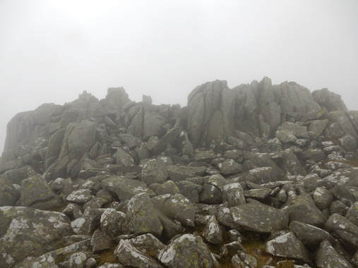
 I parked at the car park for the Aber Falls and walked up to the waterfall. Here there is a bridge over the river which put me on the North Wales Path which I followed over another bridge below the Rhaeaedr Bach and across the Afon Gam before leaving it and heading up the valley of the latter. This is a pretty rough place, waste deep everywhere in ferns but there are little paths to be found. I found one well to the right to the stream and another mostly on its left on the return. As I reached the top I had the lovely sight of a local farmer on the slopes of Drosgl wokring his dogs to round up and move his sheep. He was a friendly soul and stopped for a chat just as I reached the path shown on the may that contours Moel Wnion before heading up to the gap between Drosgl and Gyrn Wigau. I followed it to the latter gap and detoured off it to the top of the latter hill, the latter stage a pleaant stroll with almost no climbing. Back to the path which I followed round and part way up Drosgl leaving it again to collect the latter summit. From here a short down and up took me to the rocky castle of Bera Bach which is an easy scramble up. By this point I was in thick mist with very limited visibility and it was a little tricky to find the next target, the rather bigger rocky castle that was Bera Mawr. THis is also an easy enough scramble to the top but you wouldn't think so at first glance and a little epxloring is needed to find the easy way up. The satisfaction of this nice little scramble was marred by the ocean of wet slippery boulders that surrounded it on all sides. DOWn the same way skipping the detours to Drosgl and Gyrn Wigau.
0 Comments
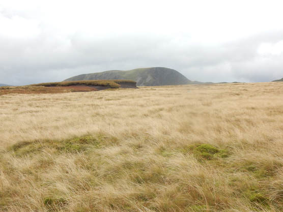 On the map Craig Eigiau is nothing at all. A couple of little contour rings on a broad ridge that sweeps down from the high Carnedds. Only a fool who collects Nuttalls would give it the time of day but I am such a fool. The Nuttalls themselves, determined to fit all the Carnedds into four outings, incorporate it in one of their more perverse walks, up from the car park near Lyn Eigiau, then a big down and big steep up into Pen Llithrig-y-Wrach. Then down and up again over Caigiau Gleision and down into the wrong valley with a tedious trek over the Moel Eilio ridge back to the start. Not for me. But I am taking rather more than four outings already and counting. The road to the small car park near Lynn Eigiau is one of a number that climb out of the Conwy Valley to some fabulously lonely, lovely spots. Like the others it makes an interesting drive. Very narrow with steep hairpins, closed gates you have to stop and open, a grassy central reservation between your tires. Also, for some reason, speed bumps. There is no sign post at all where it heads out of Tal-y-Bont so you need your wits about you. The car park is about 1000 ft. above sea level so you get a nice head start on the climbing. A track heads NW from just before the car park. Follow it. After about a mile there is a gate with a ladder stile. Cross it and keep going. (Here my directions depart slightly from the Nuttalls.) After a couple of hundred yards on there in another gate with a step stile. Cross it too. After just a few paces look for a faint path heading off left. Follow it up to a wall. Follow the wall on its right hand side. There is still a faint path. After climbing a bit it turns into a fence. When the fence stops there is a nice rocky outcrop thing. The top of this is the summit of Craig Eigiau, a lovely spot that doesn't at all feel like nothing at all though it will soon look like one, looking back, if you continue up the broad grassy ridge towards Foel Grach, as I did. 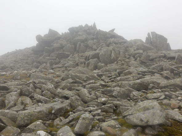 This is a pleasant easy climb on grass at a relatively gentle gradient. There is a path which I managed to lose after a time but the grassy ground meant it didn't matter much, though the ground was boggy here and there. From Foel Grach, I continued easily to the bouldery tor that is the top of Garnedd Uchaf. Here I took stock. The plan here was to check the time and the weather. If both were propitious go for the full Craig Eigiau Horsehoe over Pen Yr Helgi Du and Pen Llithrig-y-Wrach. If not back the way I came. Time was OK but weather seemed on the turn with rain setting in. So back the way I came. The visibility had deteriorated too and, as Ashton's Cicerone guide notes, you need your wits about you coming down from Foel Grach this way. But all went smoothly and I was soon back at my car and on my way to a big bowl of chilli at the Siabod Cafe. 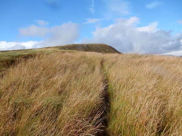 I climbed this hill from Dinas Mawddwy on not very nice showery September day. If you drive, as I did, east from the direction of Dolgellau towards Dinas Mawddwy, you come in due course, as you might expect, to a sign announcing that you are arriving in Dinas Mawddwy. Almost immediately after this is a lay-by on the right with a footpath sign. This is the path up Maesglase. Of course if you are like me you will only cop on to this after you pass it and end up having to drive into the village and turn round. The path begins with a long stiff climb steeply up through woods. Towards the bottom it is muddy and slippery but later it becomes more intensively engineered and some kind person has constructed a lengthy flight of stairs up it. When you leave the woods it turns right and describes a long contour round Foel Dinas to Bwlch Siglen. This is muddy and slippery and not terribly pleasant and I found myself thinking be better just to climb up and over Foel Dinas but the pathless slopes in that direction are offputtingly steep. After the bwlch the path soon disappears from the map but there is one on the ground all the way to the top, steeply at first alongside the woods then more gently alongside Craig Maesglase. In the wet, slippery conditions I did sometimes find myself wondering if it was really necessary to make the path quite so close to the edge of the cliff in places. 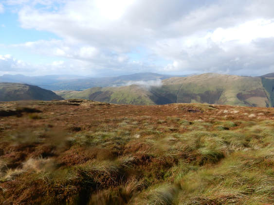 There are two tops of which the Nuttalls say the westernmost is the summit. I visited both just in case they change their mind. To get to the west top - Crag Rhiw-Erch on the Explorer map - you have to climb the fence but it's not barbed wire and easily enough stepped over for a tall chap like me. A tiny cairn, only visible from a few feet away, marks the spot. Returning I tried a bit of a short cut to cut out the east top - a dumb idea as the pathless ground was horrendous deep heather but once back on the path I was soon back at the bwlch. The path from here to the lay-by did not hold pleasant memories so I decided to return by the valley of the Nant Maesglase. A steep path leads down this way from the belch but it soon levels out just when it passes a ruined sheepfold just before some woods on the right. It improves to become a track leading to a tarred road that leads easily and quickly back to the A470. Mercifully this has a grass verge on which to avoid immolation by the high speed traffic and it didn't take long to be back at the car. A shortish day but with some rough ground that made it take longer than expected. Some tasty fish and chips at the Cross Foxes rounded things off nicely. t. 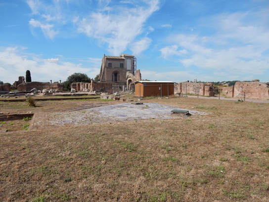 With Philip and Linda. Did the seven hills last year but enjoyed it so much I did it again today, the experience enlivened by some delightful company. Started at the Arch of Constantine by the Colosseum. We queued here quite a long time fir tickets onto the Palatine Hill. We followed the crowds up past the Arch of Titus to the upper reaches and had a good look round before descending to the Forum Romanum to do more of the same. The mist interesting bit of the walk is here in the first few hundred meters so you have to judge how long to linger an when to tear yourself away. Then down the Via dei Fori Imperiali and left up the hill to the imposing piazza atop the Capitoline. Down the steps, right into the Piazza Venezia, past Trajan's column and left up the Via Ventquattro Maggio to the Piazza del Quirinale. 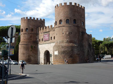 Up the Via del Quirinale, right down Via Milano and left into Via Panisperna, passing the back of the Palazzo del Viminale. Down to Santa Maria Maggiore and right again down the Viale del Monte Oppio to the Baths of Titus on the Esquiline. Over the Via Labanica, up the hill to the Caelian Hill to the Basilica di San Giovanni in Laterano, then down to the Baths of Caracalla which, to our annoyance, were closed on Mondays. Down the Viale Giotto to the Pyramid of Cestis and up the Aventine Hill to finish on the Giardino degli Aranci. A man in a van in the Lungotavere Testaccio sold us some soft drinks before we went our separate ways back to our respective hotels. |
|
 RSS Feed
