
| Jimmy Lenman |
|
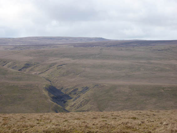
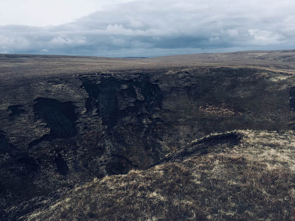
 I parked in Keld opposite the Countryside and Heritage Centre or, to give it its much classier older name, the Literary Institute. At the bottom of the hill past the church where there is a car park on the left there is a track off to the right that leads to left run down to a bridge over the river. From here quite a steep climb up leads to East Stonesdale Farm. After passing the farm the way forks. Right is the Pennine Way and my outward route, left the way I would return. On uphill to pass Frith Lodge then gently downhill to cross Lad Gill, then uphill again over Stonesdale Moor to the Tan Hill Inn with great views west along the way to Nine Standards Rigg and South to Great Shunner Fell.  From Tan Hill I followed the tarred road back towards Keld for about 300m to where a footpath set off to the right signposted to Ravenseat. This makes for extremely pleasant walking up to and over Stonesdale Beck then along the side of the dramatic gash of Thomas Gill, left at a signpost along Thomas Gill Ridge and over Robert’s Seat (visiting the top of this was a short detour from the path). The path now crosses the fence and heads swiftly down to Ravenseat Farm. Just before the river crossing, there is a permissive path off over a field to the left that bypasses the farm policies. I took it and was soon past the farm making my way down Whitsun Dale. The path became a track and led to a bridge joining the B6270 but, just before the bridge a footpath heads off left that keeps one’s feet off tarmac. It leads to the road heading north to Tan Hill which I crossed and then continued along the access track to East Stonesdale Farm to rejoin my outward route.
0 Comments
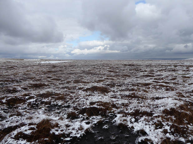
 Burnhope Reservoir can be reached from Cowshill to the north or from Ireshopeburn to the east. The former is to be preferred if you don’t like having to stop your car to open and close gates as I learned by using the latter approach. After parking at the north end of the dam I walked back over it and on over some sheepy pasture to pass an old lime kiln by the junction with Causeway Road. Right here and up towards Colberry End. Just as the latter is approached a fence crosses the track which I followed SE-ish towards Three Pikes. The going here gets very rough, boggy and criss-crossed by groughs. There was a fair bit of snow on the ground and it was not a nice day but not quite cold enough to freeze the ground and tame the bogs. Splash splash. Squelch squelch. When the fence gives out there is a boundary stone and half a kilometre south of that after some more bog a cairn. According to the Nuttalls this is not quite the top which is a bit to the east of here. I found a tiny pile on stones more or less where they say to look and was happy enough with that. At which point it was time to retrace my steps over the bogs back to Coldberry End. An easy short ascent took me from here to the top of Great Stony Hill. Then easily down the track back to the dam. |
|