
| Jimmy Lenman |
|
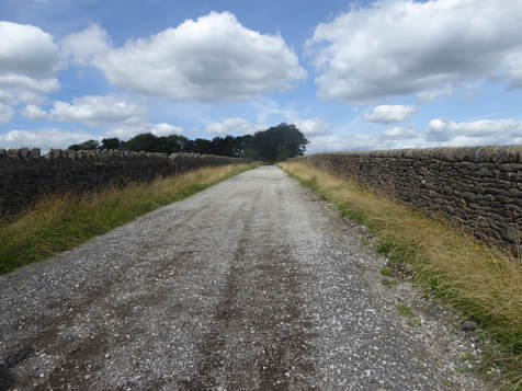
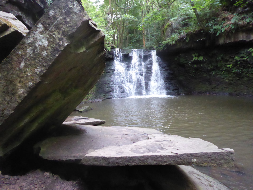
 With Carl and Jess. We found this walk on walkingworld.com where it had been contributed by one William Tulip. Not having a 1.25,000 map with us we were pretty reliant on his instructions. We parked on Fairfax Road, crossed the canal at Five Rise Locks and walked along it to the footbridge over the Fred Hoyle Way. Over the river then up Ireland Terrace past the Brown Cow pub and steeply uphill to meet and follow Altar Lane along the high ground to meet Keighley Road which we crossed to follow the continuing track. A track goes off diagonally left to approach Hethers Glan Farm. We took this but when it turns left again towards the farm we took and unsignposted footpath across horsy (it is all rather horsy round here) fields to a crossroad of tracks at the NE end of Cradle Edge. We then took the track along Cradle Edge which let to another crossroads where we headed downhill following the Bingley Road towards Haworth. We didn’t follow this for long however taking a track right towards Ashcroft Farm. This turned into a path that led steeply downhill nearly reaching aroad when we turned left and followed another path to the edge of Haworth at Barcroft. Crossing the A629 we followed a track up onto Sugden Brow where we crossed Brow Top Road and carried on over a moor to meet another road. We turned left and followed this until we reached the entrance to a caravan park on our left. The track here led us out onto Black Moor and down onto a road where we turned left to follow it to meet the A629. According to Mr Tulip there was once a pub here. There isn’t now.  Across this and down the B6429 a very short way to find a footpath signposted off to the left which led us to meet yet another road on the edge of Cullingworth. Here we took a short detour into the middle of the village to find some refreshments at the Fleece Inn. Retracing our steps back to the village edge we headed down Hallas Lane to a footbridge just after which we took a left onto a path following the east back of the river through Goitstock Wood which took us past the rather fine Goit Stock Waterfall then on down a lane to the Malt Shovel where we decided to have a little more refreshment. Heading south from here down the road there is a footpath marked off to the left which we took. Navigation needed a little care hereabouts. The way goes along the footpath that heads north of Bank Top Farm through Ruin Back Wood. It is marked on the map as a path but not as a right of way. Look for a hole in a wall then another hole in another wall is my top tip. The path passes the interesting St David’s Folly before a path off to the left leads down to and across the golf course. This is close to home. A right and a left brought us to Myrtle Park. Heading north from here along Main Street we decided to investigate the Shama Indian restaurant. This proved a very good idea. I ordered the Balti Murgh Hydrabady which was extremely tasty.
0 Comments
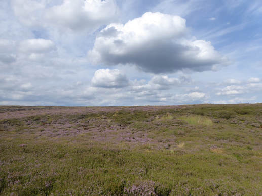
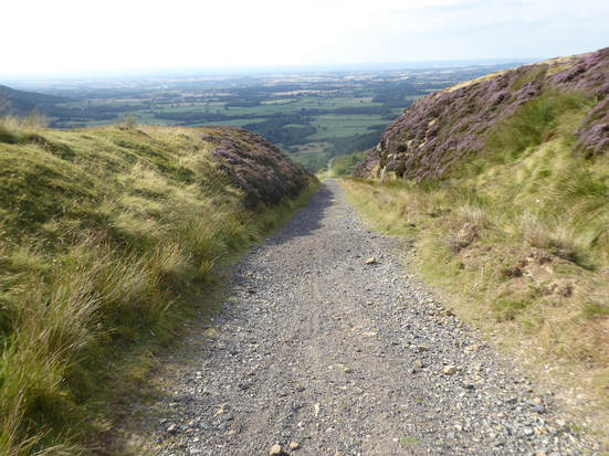
 With Martin, Tommy and Joe. Walk 31 of Paddy Dillon’s nice Cicerone guide to the North York Moors is a ribbon walk from Blakey Ridge to Battersby Junction. As we had two cars, it seemed we might as well take advantage and do a ribbon. We met up at Battersby Junction. The empty station carpark had a sign saying only for passengers so we parked my car in the main – OK the only - street outside a house with a dog in it who got very agitated by my presence outside his window while I transferred self and key belongings to Martin’s car which he drove over Westerdale to the Lion Inn on Blakey Ridge. It had been dry a long time and the fords which can make this road exciting in certain conditions were all bone dry. It was a beautiful Sunday afternoon and the Inn was busy with early lunch customers. We couldn’t resist joining them ordering some light and rather tasty things to eat. We then moved the car to the car park a little to the south where a road branches off down toward Farndale. Just here at the junction a track goes off northwest through a gate. This walk is fabulously simple to describe. You follow this track, an old railway line, all the way to Battersby. So we did. It is a great walk. First it winds over the moors for a few miles. Over Dale Head and Milled Head to Bloworth Crossing. It was a beautiful day and there were wonderful views down into and over Farndale.  Eventually we reached the incline down Greenhow Bank. Just before we got to this we met someone coming the other way by bike. We were quite impressed when we saw what he had just climbed. It is a fierce, unrelentingly steep – about 1:5 according to Dillon – climb of around 800 ft down (for us, up for him) a long gravelly track. The view changes here and is dominated by Urra Moor, Hasty Bank and the great flat plain that stretches away north of here towards Teesside. At the bottom of the incline the path flattens out again and easily follows the edge of the woods as far as Bank Foot from where a very short road walk returned us all to where we had left my car which I now made use of to return Martin and the boys to theirs and so home. |
|