| Jimmy Lenman |
|
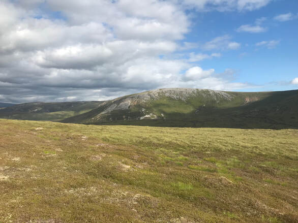
 There is a car park at Inverey just by a memorial to John Lamont (Johann Von Lamont) born here in 1805 who went on to become a distinguished astronomer in Bavaria. From here a sign post points the way down Glen Ey. This took me pretty easily and pleasantly to Auchelie, which is just a sheep haunted ruin. From here another track branches off right climbing up onto Carn nan Seileach and on towards Carn Creagach some way before which it ends abruptly. From here a faint - and I mean faint - path leads, sort of, across rough, grough-infested ground bypassing Carn Creagach toward the bealach below Carn Bhac. This was the bit of the day that was most like hard work. At the bealach a less faint path can be found that leads to the summit of Carn Bhac.  This is one of a small number of annoying Munros that I am not quite sure if I have climbed before or not. If I have, it was about 40 years ago so it all felt new enough. On a lovely day like today it is a wonderful viewpoint for the high Cairngorms off to the north. It is too long since I have been there. From here it was good paths then a track all the way back, over the SW top, on to Geal Carn, then easily and delightfully north along the broad ridge almost to Carn Liath. Just before the track climbs the latter a side path cuts the corner to pick up the track that leads down contouring a short way above the Allt Cristie Beag and so back to Inverey. A long but straightforward really enjoyable walk. It was a long drive back to St Andrews.
0 Comments
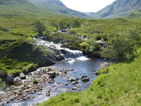 Sgurr Nan Clach Geala at 3586 ft. Is the second highest of the Fannichs while its neighbours, Meall a’Chrasgaidh and Sgurr Nan Each at 3064 and 3028 ft. respectively are much lower barely qualifying as Munros. From the top of Sgurr Nan Clach Geala, the the two look quite insignificant while from the passes on either side the former is a really very substantial climb. So the traverse feels less like a ridge walk than an ascent of a single very big hill with a couple of wee subsidiary peaks on each side. There is a small car park on the A382 a very short distance from where a track heads off near some woodland towards Loch a’Bhraoin about a kilometre away. I headed down this to near the Loch where a gate bars progress straight on (towards a boathouse) and paths branch off right (signposted to Kinlochewe) and left (towards Loch Fannich). I took the left branch and followed the sometimes faint riverside path for about 5k to the top of the pass. At one point I crossed from left to right of the river. It was not a hard crossing but I was careless and got a bit of a soaking - worryingly my camera packed in for about an hour but seemed to dry out and recover. Approaching the top of the pass I stopped to chat with an agreeable man who had completed the circuit of the three Munros going the other way round - clockwise. It was barely lunchtime and he was planning to pop up Am Faogagach in the afternoon! He was only ten Munros away from completion and it was another on his list. From the top of the pass I headed straight up towards the bealach between Sgurr nan Clach Geala and Sgurr nan Each. This was a pathless, steep and somewhat purgatorial slog but from the bealach and easy gentle climb up a part led to the top of Sgurr Nan Each and back again. 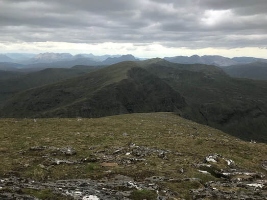 From here the climb up Sgurr Nan Clach Geala was a lot steeper and longer but not too bad with a path still under my feet. The view from the summit is astonishing. An Teallach dominates it but all the hills of Torridon, Fisherfield and Assynt are clearly visible along with countless others. The path now veers right and follows the cliffs above Coire Mor for a bit. Soon the slopes to my left got less infeasibly precipitous and I followed a steep grassy band straight down. Meall a’Chrasgaidh I had climbed before one winter long ago so I decided to skip it. As I made the steep descent a large herd of deer observed me from below only to scatter as I got too close for their comfort. I climbed down into the basin below the Sgurr Nan Clach Geala-Meall a’Chrasgaidh bealach from where more pathless trudging down not too unpleasant ground eventually put me on the stalkers path that took me back to the rover and so home. I never had a walk when I saw so many frogs. They seemed to be everywhere. 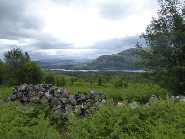 There is a big car park at Aberarder. So I parked there and walked up to the Lodge. It is a short walk from here to the farm house - now a centre for the National Nature Reserve complete with picnic tables and toilets. They are keen for walkers to keep off the main track and use the signposted path to the side. So I did. The path continues past the Lodge to a junction. A sign says go right for the Coire, left is marked with a picture of a pine marten. I went right and followed this path uphill looking out (thanks to directions at Walkhighlands site) for a cairn that marks the path branching off up Carn Liath, Munro number one.This climbs up over Na Capanan and the going eases after that subsidiary bump is behind you. But it’s still a fair slog to the top. 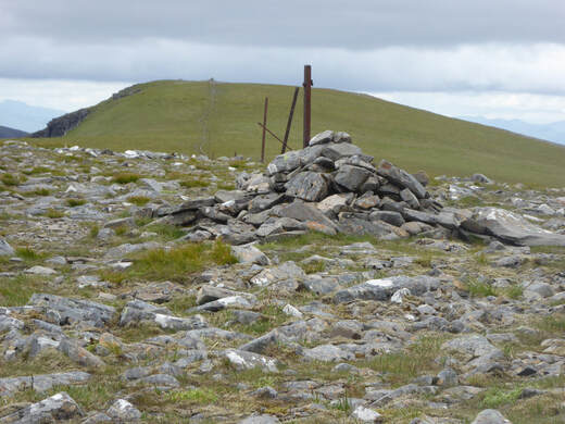 From here a long, easy, delightful broad ridge leads over three tops to Stob Poite Coire Ardair, Munro number two. This leads to The Window, a fair-sized dip in the ridge where you go down and back up onto the big wild plateau of Creag Meagaidh itself. Munro number three. A big impressive cairn, Mad Meg’s Cairn, is soon reached which I bet has been mistaken for the summit in poor visibility once or twice. It isn’t. The summit, Munro number three is a few minutes further up a gentle slope. Then back to the window and down. Down from the window involves some rather disagreeable steep scree but it doesn’t last that long and the path eases off as it approaches the Lochan. From there a trudge of about three miles leads back to the car park. 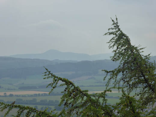 There is a car park well signposted from Bridge of Earn off to the east below Wallacetown Wood. From here I had a lovely wander through these delightful woodlands awash with summer foxgloves. I followed the ‘red’ waymarked route which contours the southern slopes all the way almost to meet the motorway at the other end of the hill where there is a bit of a descent and reascent onto the northern side of the main ridge with lovely views up the Tay past Perth. I left the red waymarks where a sign pointed towards the two hill forts hereabouts, the first marked with a trig point, the second, considerably higher, Moredun Top, with a substantial cairn. It was lovely up here on a very hot day - when news reports have been reporting record-toppling heat all over Europe - even though a very unfriendly off the leash German Shepherd dog nearly ate me. ‘He doesn’t like men’, his (female) human companions explained. A great place for a woodland stroll and collecting an easy Marilyn. 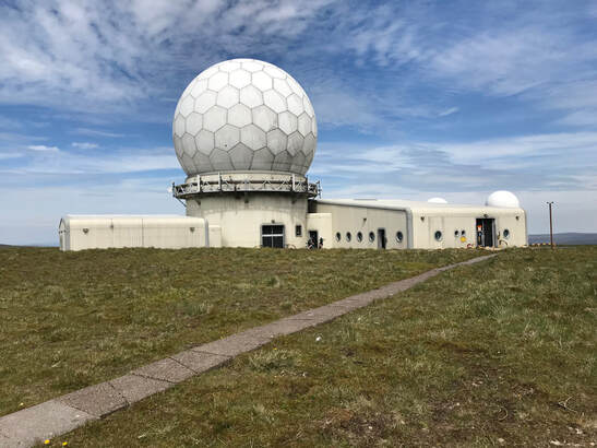 This time I did - nearly - follow the a Nuttall guidance, starting as they recommend where the road running south from Garrigill turns to a track at a cattle grid, or rather two tracks, as it forks here. I took the right fork past the sad ruin of Cocklake Farm and followed the long bridleway south. This has had some money spent on it of late and is in the process of being freshly tarred. A long walk south past the Gilbert Ward sculpture marking the source of the South Tyne leads eventually to the bridge over the River Tees a tributary of which is followed towards a great Dun Fell: Trout Beck - I wonder how many Trout Becks there are in England. The nice freshly tarred route soon veers off south away from the bridleway which now soon degenerated into a pretty rough, sometimes hard to make out, path. Slowly Great Dun Fell gets nearer and eventually the poor path links up with another tarred road which climbs to the radar station from Knock. Some masochistic cyclists passed as I joined this, not far from the end of their day’s challenge. I trudged up the road the the summit and spend a while admiring all the technological paraphernalia as well as the splendid view. 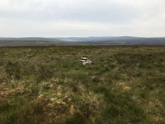 The next few miles follow the Pennine Way over its highest section to the trig point and stone wind shelter on top of Cross Fell then down and past Greg’s Hut and onto Backstone Edge. Here the Nuttall route makes a detour to collect Bullman Hills but I was getting a bit tired and thought I’d skip that and stuck to the Pennine Way to the point where a handy Land Rover track leads up onto the broad ridge of Long Man Hill. Shortly before I took this turn I was passed by a friendly young man with an enormous rucksack who was doing the whole thing. The afternoon was getting on by now but he meant to make it all the way to Alston where he was quite excited at the prospect of one of the Pennnine Way’s rare opportunities to visit a shop. Up the track onto Long Man Hill I went before striking north on pathless ground to find the tiny summit cairn. I then did as the Nuttalls’ book directs and headed off east over more pathless ground looking out for the row of grouse butts they direct their readers to follow. After descending a bit. It turns out the Land Rover track off the Pennine Way onto Long Man Hill which on my map peters out after a few hundred meters actually carries on down into the valley of Cross Gill where I picked it up and to my pleasant surprise followed it all the way to the fence on the north ridge of Round Hill. A quick visit to another microscopic cairn then back down the same ridge until the ruin of Cocklake came into view not too far below me. I headed straight for it and so home to my car and my b&b via another nice bar supper in the Nent Hall Hotel. 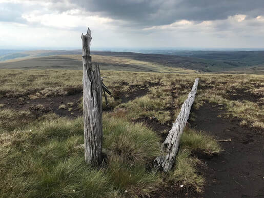 The Nuttalls book suggests doing The Dodd, Killhope Law and Middlehope Moor as a single long walk from Killhopehead Bridge. I have been a wus and done them as three little walks, Middlehope Moor as a short walk from the B6295, The Dodd as a stroll from the road to the south. Today I completed the three. I git to my b&b, Hill Top - which claims to be Britain’s highest - around 5 and reckoned it would be a nice early evening stroll before dinner. The obvious way up from this side is by the Carrier’s Way path which states opposite the Mining Museum. But having gained all this height driving up to Hill Top I thought I would just go straight up from there. It was quite rough going. Especially as first crossing some terrain that was till recently the woodland marked on my OS map just above Hill Top but has now all been felled. After that I headed for the ridge playing join the dots with endless white grit box marker poles and was soon on the summit. This was marked till recently by a great big 30ft wooden pole but I found this lying on the ground having clearly been defeated by the weather. The descent seemed much quicker an easier than the ascent and I was soon in the Nent Hall Hotel eating my dinner. 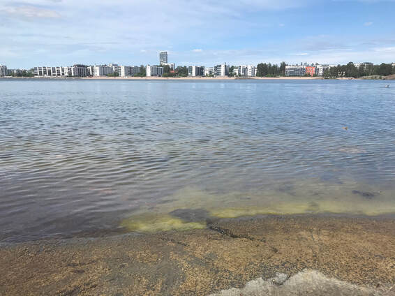 I was in Helsinki - lucky me - and thought a little walk would be nice. Happily I had a lovely Finnish friend to advise me. I won’t try to improve on her directions so here is what she emailed me: « The place I suggested to you for a nature walk is called Uutela. To get there take the metro to Vuosaari, walk pass a high tower building towards the sea, turn left and walk along the beach (great for swimming!) to cafe Kampela, which is the starting point of the nature trails. Here’s a link to a map of the area with some suggested walking routes. The light blue one is a favourite of mine. https://citynature.eu/en/location/uutela/?section=services. » I followed these directions easily enough (but without the swimming) as far as the cafe whose owner made up in friendliness what he lacked in fluency in English. 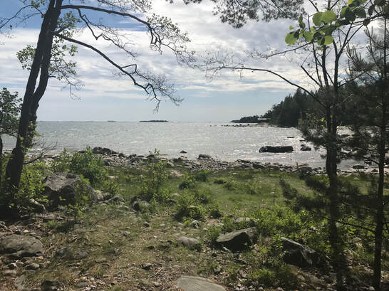 Then I sort of wandered, basically doing a circuit of the beautiful woodland peninsula anticlockwise. I had no map more detailed than the very sketchy one linked to above so I can’t really describe my route the more so as I learned to late that the way marking for the colour coded routes only really works if you go clockwise. There is a maze of paths and I tried to stay close to the shore to enjoy the glorious views over the water. The whole area is not public and there is some private residential ground on which I fear I intruded from time to time. ‘Private ! No tessspassing! Keep out!’ Said various signs in Finnish which I only knew the meanings of later when I shared my pictures with Finnish. But I don’t think I bothered anyone and nobody shot me or set their dogs on me. |
|