
| Jimmy Lenman |
|
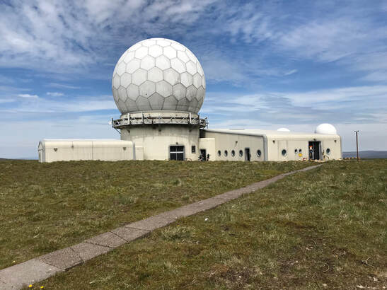
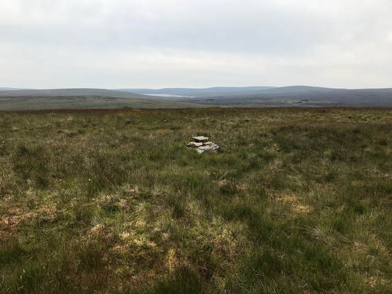
 This time I did - nearly - follow the a Nuttall guidance, starting as they recommend where the road running south from Garrigill turns to a track at a cattle grid, or rather two tracks, as it forks here. I took the right fork past the sad ruin of Cocklake Farm and followed the long bridleway south. This has had some money spent on it of late and is in the process of being freshly tarred. A long walk south past the Gilbert Ward sculpture marking the source of the South Tyne leads eventually to the bridge over the River Tees a tributary of which is followed towards a great Dun Fell: Trout Beck - I wonder how many Trout Becks there are in England. The nice freshly tarred route soon veers off south away from the bridleway which now soon degenerated into a pretty rough, sometimes hard to make out, path. Slowly Great Dun Fell gets nearer and eventually the poor path links up with another tarred road which climbs to the radar station from Knock. Some masochistic cyclists passed as I joined this, not far from the end of their day’s challenge. I trudged up the road the the summit and spend a while admiring all the technological paraphernalia as well as the splendid view.  The next few miles follow the Pennine Way over its highest section to the trig point and stone wind shelter on top of Cross Fell then down and past Greg’s Hut and onto Backstone Edge. Here the Nuttall route makes a detour to collect Bullman Hills but I was getting a bit tired and thought I’d skip that and stuck to the Pennine Way to the point where a handy Land Rover track leads up onto the broad ridge of Long Man Hill. Shortly before I took this turn I was passed by a friendly young man with an enormous rucksack who was doing the whole thing. The afternoon was getting on by now but he meant to make it all the way to Alston where he was quite excited at the prospect of one of the Pennnine Way’s rare opportunities to visit a shop. Up the track onto Long Man Hill I went before striking north on pathless ground to find the tiny summit cairn. I then did as the Nuttalls’ book directs and headed off east over more pathless ground looking out for the row of grouse butts they direct their readers to follow. After descending a bit. It turns out the Land Rover track off the Pennine Way onto Long Man Hill which on my map peters out after a few hundred meters actually carries on down into the valley of Cross Gill where I picked it up and to my pleasant surprise followed it all the way to the fence on the north ridge of Round Hill. A quick visit to another microscopic cairn then back down the same ridge until the ruin of Cocklake came into view not too far below me. I headed straight for it and so home to my car and my b&b via another nice bar supper in the Nent Hall Hotel.
0 Comments
Leave a Reply. |
|