| Jimmy Lenman |
|
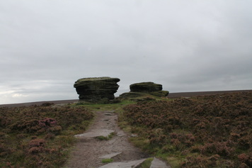
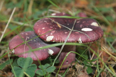
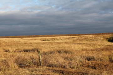
 I felt like a short drive and a long walk so off to the Fox House Pub where I parked parked at the pub and took the track northeast over Burbage Moor towards Lady Canning's Plantation. Then left alongside the Plantation with the obligatory short detour to visit the Ox Stones. I kept straight on across Ringinglow Road, over the moor and through Brown Edge Farm to Fulwood Lane.  On north on tarmac past Fulwood Head and Knoll Top Farm then left on a track past sheepy fields to the edge of the easternmost of the Redmires Reservoirs. Right here then left past Wyming Brook Farm then left again on Redmires Road as far as Yorkshire Water car park. (In fact there are three groups of buildings hereabouts the OS has labelled as Wyming Brook Farm - I don't know if this is an error or if they make up a single, rather scattered farm business.) Here a footpath heads up left on an easily missed flight of steps, then northeast, then north, then northwest at first alongside and then through the woods before dropping to the road in Reddicar Hollow. I follows this north for quite a wiggly half kilometre to where a choice of paths heads west, one to the north and one to the south of a brook. I plumped for north though lovely woods, all moss and mushrooms, till a footbridge pointed the way south over Hallam moors back to the reservoirs again but now to their western extermity.  It got much busier here, with loads of dogwalkers and joggers as I headed southwest to Stanage pole then southeast to Stanage Edge where late afternoon climbers swelled the numbers further. On down to Burbage Bridge and the high path above Burbage Rocks with a beautiful sunset starting to frame Higger Tor and Carl Wark. From the map it looks like one has to brave a stretch of A6187 to regain the Fox House but a short bit of path, not on the map, cuts the corner southeast over the moor to come out just a short way east of the pub where there is a stile and an "access land" sign.
0 Comments
Another walk in the North York Moors, but much more satisfying than last weekend’s. I parked strategically by the public loo in Danby and headed up the Hill to Rosedale Intake then left onto footpath north. I strayed from this to visit Siss Cross and the nearby trig point then had to fight my way north, happily not for long, through deep pathless heather to pick up the track heading east to White Cross. Then down the road to Commondale, taking the chance to get off tarmac where a bit of footpath cuts a corner by Sand Hill. “Bull in field” warns a a sign on a gate about halfway along this, together with a rather menacing graphic of a snorting bovine. Inside the field in question a herd of Highland cattle dozed and reclined lazing some way distant from the path and I didn’t feel very menaced. By the time I got into Commondale, the initially unpromising weather had turned beautiful, the word that best describes the glorious walk back down the dale to Danby on tracks and footpaths always a little north of the railway line. This is a short but, in such conditions, heavenly walk. Sadly my imbecile failure to recharge my camera battery means I have no photographic evidence for that claim. Driving home I took the direct route south following the high narrow roads in blazing sunshine over Westerdale Moor, Farndale Moor and Blakely Ridge, a stunningly beautiful stretch of road. A truly mesmerising radio 4 broadcast of “Kilifi Creek” a new short story by Lionel Shriver, will burn this drive into my memory.
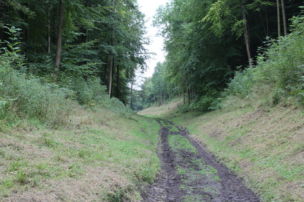 Lots of pay and display parking around but I found a free spot in Church Street. Helmsley is full of bikers and delis. I rather like the chilli-ed up sausage rolls you get at Hunters. So I got one and ate it sitting at the foot of the Gilbert Scott's Faversham memorial while a biker collecting money for a hospital charity got into an argument with an old lady who thought he was being aggressive. Then back down Church Street to pick up the path down Beck Dale heading off to the right just before the edge of the town. Up Beck Dale. Over the fields between High Baxton's Farm and Middle Baxton's Farm. Back to Hemsley by Ash Dale. There's very detailed directions to be had for this in chapter 9 of Paddy Dillon's Cicerone North York Moors guide. But it's a very straightforward walk on well-signposted paths. Various possibilities for getting sidetracked are helpfully labelled "Private. Keep out." This was not a particularly exciting or memorable walk. But there are worse things to do if you find yourself in Helmsley and have finsihed looking at the castle. 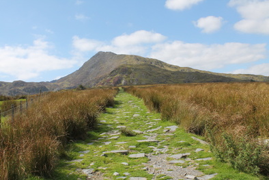 On a third successive beautiful day, I drove to Pont Cyfyng where I parked in a car park by a café that had decided not to open today. From here I followed the path that heads up, past the old slate quarries, to llyn y Foel and on up the Daear Ddu ridge, the steep east ridge of Moel Siabod. This is an utterly heavenly way up a hill. The Daear Ddu especially is delightful, always interesting, never too alarming, topping out right at the summit, like a rather easier version of Hall’s Fell on Blencathra. The steepest bit is right at the top where the path led me out towards the more exposed right hand side and up a short wall splendidly endowed with positive handholds. 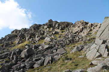 I descended by the northeast ridge that comes down in places quite steeply to rejoin the outward route not far from the start. The first part of this was flat and rocky and rather pleasant but the steep bit not so pleasant. Next time, and please let there be a next time, I will take the same way up and try taking the Capel Curig path back down through the woods. 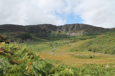 I began by walking up the road behind the chapel in Ganllywd to where a left turn led to a bridge below the Rhaeadr Du Falls. After a detour to look at the falls, the route through the woods goes left here to follow the path back along the south side of the river. After a bit, a signpost says going right will take one to a pair of crossed pick-axes. I did that and kept on to cross a bridge at the edge of the woods. I then turned right through a field to meet a road on which I turned right over another bridge back into the woods, then left almost at once. When I got to the point where another track coming in from the right does a big hairpin I left the woods and headed left up the hill towards the ruined buildings of the Cefn Coch gold mines. From here I found a way south up the hillside avoiding the ocean of ferns covering most of it by following a long string of fenced-off old mineshafts festooned with signs warning of the deadly peril of exploring them. This led to a ridge running east from Y Garn. 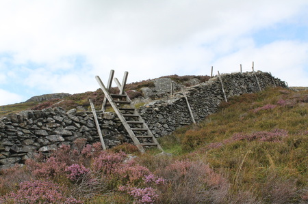 Turning right along this I soon found my way blocked by a wall crossing the ridge with a second on the other side going of northwest. To the left of the junction with second wall, the first is in good repair, reinforced with barbed wire and impenetrable except perhaps to the bold and gymnastically gifted. To the right it is a crumbly ruin. Crossing this I found a faint path going northwest along some very rough ground immediately to the right of the second wall until the latter is crossed by a stile that is the key to accessing the summit this way. From the stile a short struggle.up rather rough pathless terrain led to the top where wonderful views of the rest of Rhinogs opened up. From here the Nuttalls (Mountains of England and Wales, volume 1, p. 157) recommend heading NE to pick up the wall one was just following a bit further up, cross it and follow yes another wall that continues NE from this point. I headed off this way, saying a little prayer that there would be another stile here over the wall I had to cross. The bad news: there is not. The good news. A bit beyond the wall junction, Mr Wall Maker seems to have run out of barbed wire and the wall is not to hard to climb even for the timorous and gymnastically challenged like myself. 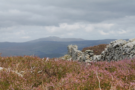 After a long struggle downhill on more very rough ground, I reached the point where the Nuttalls’ guidance reads: “Where a cross-wall is met, go through a narrow gateway and descend rightwards to a field gate in the corner of the forest.” So I turned right straight after the gateway and followed the cross wall back to the edge of the forest. Not a good idea: no field gate, a big crag blocking the way round. Returning to the gateway I found a way if anything a little to the left of straight down almost as far as the big white house at Gwndwn-uchaf. It is here, and no sooner that one turns right to the now obvious field gate and on back through the woods to the start. Having already seen the waterfall I came back through the Plas DolyMelynllyn Hotel. Here a couple of the tiniest horses I ever saw trotted up to the fence as I approached in what I took to be a friendly sort of way. But a bit later a spotted a sign on their gate, the only time I remember ever being advised to “Beware of the Horse”. So perhaps these miniature, seemingly amiable beasts are secretly deadly killers. Or perhaps not. These Rhinogs are rough. I had thought this would be an easy short walk but I found I had averaged about one mile an hour and when I got to the Coed u Brenin they were about to shut, had switched off the coffee machine and were only serving rather unpleasant filter coffee. The coffee and walnut cake was extremely nice though. 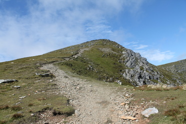 I parked and booted up on the A5 near Glan Dena. This is a bit like getting booted up on the hard shoulder of the M1 as cars accelerate gleefully at the start of the big straight east of Llyn Ogwen. The path up the Afon Lloer is a bit threadbare in places. If in any doubt, once on the left hand side of the river, stay there. The path turns left before the lake and heads up the east ridge of Pen yr Ole Wen. The scrambling section is short and straightforward. It goes up the obvious line of weakness at the back of a recessed area a bit left of centre. It is a gully so I suspect may get a bit wet at times but not today. 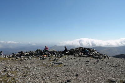 After that a glorious ridge walk took me all the way over Pen yr Ole Wen and Carnedd Dafydd to Carnedd Llewelyn in perfect late summer weather. From there a walk and a short, easy enough scramble took me to the Bwlch Eryl. I had meant to continue to Pen yr Helgi Du but the water of the Ffynnon Llugwy glistening in the sunlight was too much temptation. I headed straight down and jumped in for a late afternoon dip before walking down the long track back to the A5 where the campsite driveway gives access to the old road and so back to the start. |
|