| Jimmy Lenman |
|
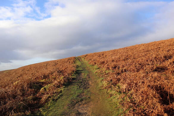
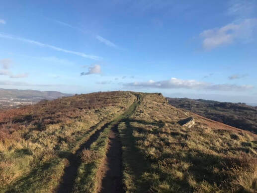
 Garth Hill is Cardiff's local little hill and evidently a popular spot for people to walk their dogs, or their children, or just themselves on a sunny day like today. A narrow litte road skirts it to the south. There is a parking place on this from which a path zigzags up onto the northeast end of the summit ridge. At the foot of the path a sign reads: "The footpath ahead is prone to erosion and may be unsafe. You are advised to find an alternative route. Should you proceed you do so at your own risk." It's an odd sign as the path is lovely and perfectly safe, or as safe as any hill path can be. I wonder if perhaps there was once an accident here - as there can be anywhere - and the authorities put the sign up just for the sake of being seen to be doing something. An easy walk all the way on nice paths in fact. Halfway along the ridge there is a one of those thingummies that tells you what everything is you can see in the view.  Back the same way then drove to Nangarw where I tucked my car into a space on the road that branches off the A68. Right across the road from here is signposted access to the Taff Valley Trail. I followed this southwest past the west end of the long ridge that is Craig yr Allt. Then up. There are loads of paths hereabouts and I string them together in ways that seemed to work, climbuing up to the mast on the shoulder then more or less straight along the ridge to the top where there is neither trig point nor cairn. Which brings me to the end of the Marilyns in section 32C. (368 Marilyns altogether. Only 1189 to go...)
0 Comments
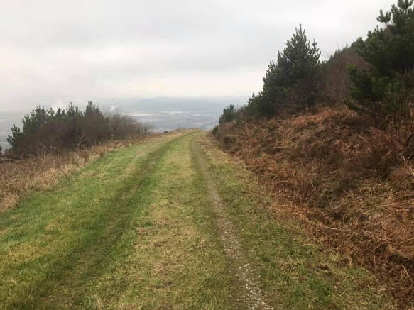 The Port Talbot Marilyns. There is space for a couple of cars to park at Blaen-Baglan Farm. From here up Mynydd Dinas is mostly on the well signposted Welch Coast Path. When this gets as high as it is going to two tracks lead of to the left a short way apart just before a gate into a field (which the WCP bypasses to the right). I mistakenly and carelessly went up the second of these from which the way to the summit is blocked by impenetrable trees to everyone except beetles. The first, as I then discovered, is the right way leading as it does to a path that branches off to the trig point. According to hillbagging.co.uk the summit is not the trig but rather "ground 2m NE of flat rock 65m E of trig point". So I wandered east for what felt like roughly 65m. I didn't spot a flat rock but reckon I was near enough for it to count. Back down the same way. the viewws of Port Talbot and the sea from the WCP near the top are impressive if not exactly beautiful in any convenytional sense. 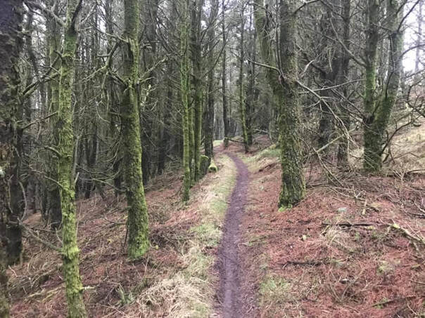 A more virtuous person than me would have done the whole walk over both hills on foot. But instead I drove to the start of the track on the road west of Foel Fynyddau. There is space to park on the edge of the start of the track. It's an easy walk up a good path past some bedraggled looked horses in a field to the top with its big radio masts. There were lots of off road bike people around, ignoring the signs that were everywhere telling off road bikers to go away. The sensible way back is the same way. But just for fun in a spirit of exploration I kept going east on the track for a bit then turned off down a little path running due south into the woods in the spirit of, Let's see where this goes. Down was the answer. Then along, then down a bit more and all quite complicated. At times extremely steep, on the edge of what is safely walkable. . There were surprisingly many little paths crisscrossing down this steep woody slope. Eventually I reached the track at the bottom of the woods above Cwmavon and followed it home. 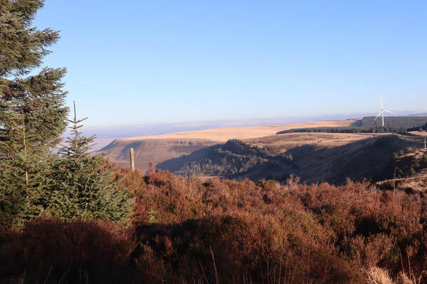 There is a car park on the A4061 as it begins it zigzag descent towards Hirwaun where people stop mostly to take pictures of the view north. Which today was a view across a sea of cloud almost level with the top of the plateau. It is a short walk west from here along the main road - there is a path off to the side so one can avoid walking on it - to where it bends south. Here a path continues west towards the hill. For about half a km. it is quite unpleasant thanks to the action of off road motorbikes: deep grooves separated by narrow ridges, either of which are uncomfortable underfoot. When it reaches the woods and starts to climb it gets much less unpleasant. The bikes come this way too but the ground underfoot is rocky now and harder to damage. A track is followed west along the top ofthe woods until one seems just to have passed its highhest point at which point there is a branch track off left a short way along which is the easy to find trig point. As I walked back the highest of the Brecom Beacons were just sticking their tops out of the cloud base. 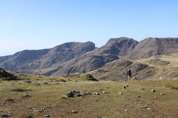 With Anna. We parked up at the Old Dungeon Ghyll with a little help from my National Trust life membership. (Thank you again, Mum, best present I ever had!). Over the fields to Stool End Farm and up the besautiful path that is the Band to Three Tarns and so up onto Bowfell. This was about the only point at which we deviated from the route the Nuttall's describe in their book which instead goes by the Climber's Traverse and Great Slab. The waethr was perfect and the views from Bowfell magnificent in all directions. Then on to the North Top and Esk Pike and down to the busy crossroad that is Esk Hause. Then the long trudge back to Langdale with a tony detour to grab Rossett Pike. I don't know if anyone still goes directly up or down Rossett Gill. Certainly 100% of the army of people making their way back off the hill today were following the now very wellegineered path that zigzags off to the right (looking down). So we did likewise. A really perfect beautiful day. Anna was in about a billion times better shape than me but way too nice to make me feel bad about it. We had a pint in the garden of the ODGH then off to the Drunken Duck where we ate things. |
|