
| Jimmy Lenman |
|
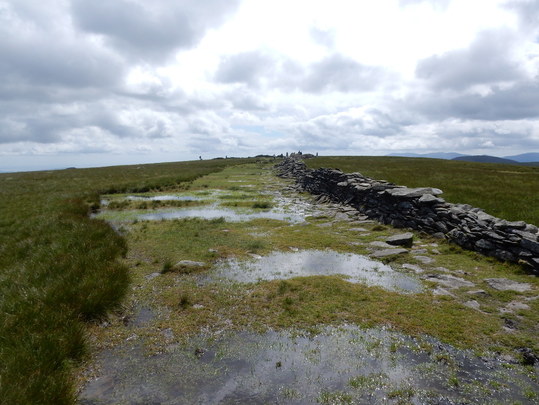
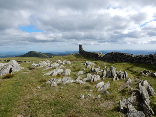
 At Mardale there is a sad sign to say the golden eagle viewpoint has closed owing to there being no more golden eagles. At least in this or any part of England. I followed the path going clockwise round the side of the reservoir (the one going anti-clockwise seemed to be closed) for a short way till a path appeared off to my left heading up the side of Rough Crag. This soon turned left and climbed the hillside in a rising contour until eventually landing me on the ridge which I followed to the summit of Rough Crag, one the more interesting and substantial of the Nutalls that are not Wainwrights. From here the ridge continues, down,, past a tiny lake, then quite steeply up again, over some very pleasant, very easy scrambling, to the great flat expanse that is the top of High Street, so named as it the old Roman road from Brougham to Ambleside crossed its summit. On a beautiful clear day like this it was a very easy stroll across the plateau to the top of Thornthwaite Crag with its huge stone beacon.  From here a detour of a mile and a bit each way took me out to the top of Gray Crag and back again. Beware. The prominent cairn identified by Wainwright as the top isn’t quite. The highest point is a short way south of this, some unmarked high ground on the other side of a delapidated wall. After returning to Thornthwaite Crag the next stop was Mardale ill Bell. This would be a little intricate in mist perhaps but easy enough today. I followed the main path back towards High Street until just before it meets a wall near a bit right-angled corner. Here a faint path head off to the right. Following this I was soon on Mardale Ill Bell, a Nuttall according to my old book but now demoted. From here easily down to the Nan Bield Pass and down the excellent path back to the lakeside.
0 Comments
|
|