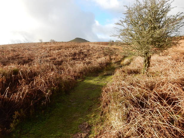
 I drove to the car park at Porth-y-parc. This isn't big and I got the last space - there are skgns around strongly interdicting parking anywhere else hereabouts. I set off up the track north towarsd Parc Lodge Farm. Here the path by-passes the farm buildings on the right before crossing the river and entering a field on its left bank (inhabited today by a solitdary horse) and followingh the river up it then into some woods that lead uphill to join another of the plurality of paths that converge on the top of this pleasant and popular hill. I was soon on the summit which was windy and quite busy. Returning was an easy stroll down the Rholben ridge.
0 Comments
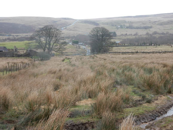 I parked just by the Whistle Inn (the pub near Whistle Hart on the 1:25,000 map). From here you can see a path leading diagonally up the hillside. I followed this, crossing a tarred track at about 470m. Soon enough I came to a small windfarm – just two turbines but no doubt making plenty of power this very windy New Year’s Eve. From here a path leads off left toward the summit which it bypasses to the south. The summit area is very big and flat. Heaven only knew exactly where the precise summit was. There or thereabouts is good enough for me. I came down by descending more or less pathlessly to the north to pick up the tarred track I had passed going up. This would be unpleasant in the summer when the forest of ferns is in its luxuriant. In December when they were all dead it was easy enough. 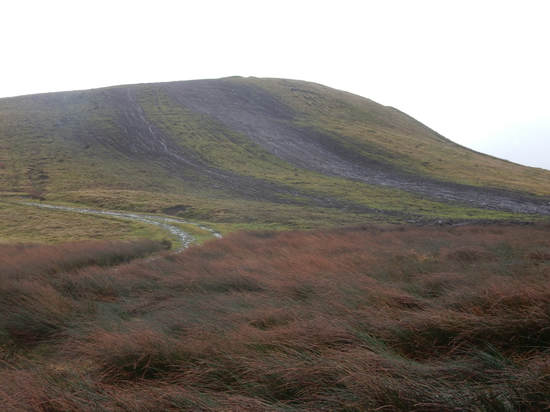 The free multi-story car park in Ebbw Vale seems an unlikely starting place for a country walk but that is where I started. Immediately outside a sign point across a bridge to Newtown. I followed it over the bridge, past the Baptist church then right then followed the yellow road south. (To the right down here was once the biggest steel works in Europe. It closed in 2002.) Soon the road starts to rise steeply up onto the hill. Just after it passes a couple of houses the map shows a path doubling back diagonally uphill. This path was not signposted but was easy enough to spot. I followed it up to the quarry. Here the way is very clear between some fenced off pasture on the right (home to some horses) and on the left what purports to be Britain’s highest golf course. It is an easy trudge from here to the summit trig point. I came back the same way. It is a rather bleak depressing place. With the potential, given a little tlc, to be a rather attractive hill, Mynydd Carn-y-Defn is, in its upper reaches utterly ruined by the scarring effect of wildly excessive activity by people on dirt bikes. It’s a real shame. 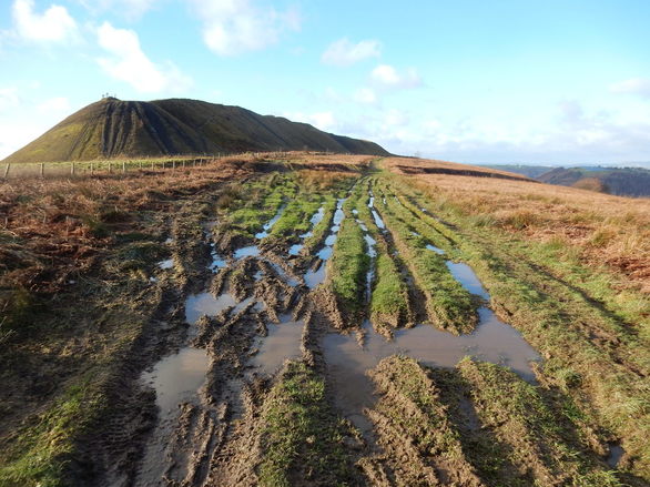 The previous day (qv) I had failed to climb Mynydd Machen from the south because of paths being closed for forestry working. Sop today I thought I would have a go at climbing it from the north. I drove to Cwmfelinfach and followed the little yellow (well, on the map) road that goes south then east. It gets very narrow and there are very few passing places but there wasn’t much traffic. After a couple of miles I came to a cattle grid just after which there was a car park and a sign saying, Road Ahead Closed. So I parked. A track went uphill from here which soon branched. One branch, going SE, had a sign: Forestry working. Path closed. Authorised personnel only. The other, which went east a bit lower down, did not. Someone was coming down it and I checked with him that there was access all the way. Yes, he said. There was. So up I went and indeed there was. It is a pretty easy, pleasant walk. One of those rare walks so straightforward I never once took the map out of my pocket between leaving the car and returning to it. Near the top there is an enormous spoil heap. It is fun to walk along the ridge made by the top of this but getting on and off it is briefly unpleasantly steep. There was a lovely view from the summit trig point down onto the Bristol Channel. 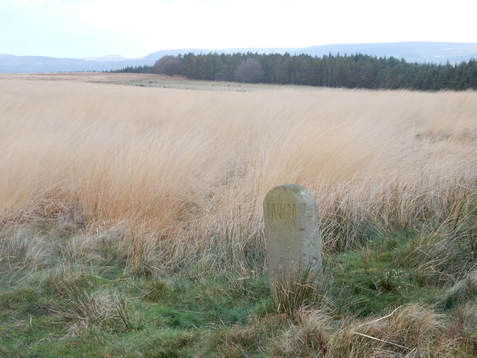 There was plenty of the day left so I drove round to Wattsville and parked in Troed-y-Rhiw Road at the bottom of the hill. I followed a track down hill and then parallel to the road signposted to Hafol Tudor Cottage. The map shows this leading to a right of way footpath up the side of the hill but I never went that way. Instead I soon turned off right down a forestry track. This zigzagged up through the woods encouragingly. After a few zigzags it started to head downhill but just where it did so there was a path, clear if a little overgrown, going off to my right up the hill. This led up through what was left of the forest, got briefly very steep and rather unpleasant going up alongside the highest trees and eventually parked me on the large summit plateau, a rather beautiful sea of long, yellow grass. (Unlike yesterday on Mynydd Twyn-glas, there was no snow here at all.) The top is marked by a boundary stone and is some way south of the 381 spot height shown on the 1:25,000 OS map. It was a little tricky to found with the grass so long but find it I did. 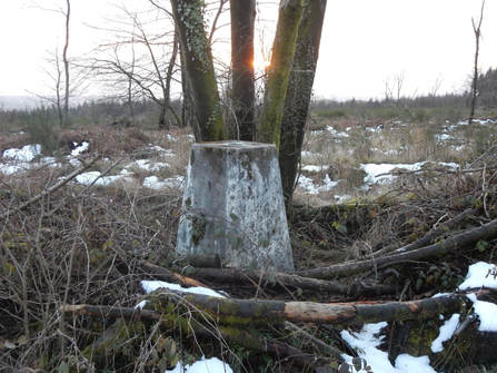 I decided to come down using the right of way path I had spurned on the way up. The top of this is tricky to get to from here as it involves climbing down into a rather steep and pathless gully. I did this, found the path at the edge of the forest and followed it into the trees. I went down it pleasantly enough for about ten minutes until I came to a sign. Forestry working. Path closed. Authorised personnel only. This was not good. Climbing up a hill is a mission one can abort. Climbing down one not so much. It would have been a long a tedious way back up and round from here to find another way down – perhaps where I had come up. I couldn’t see or hear and forestry activity so I carried on swiftly and warily. After a bit I came to a place where there had indeed been some forestry work quite recently and it had obliterated the path. But I found some more zigzagging forestry tracks that soon took me back to the road. No sign of any tree felling in progress. And no corresponding sign at the bottom of the path. There was still a bit of daylight left when I got to my car so I drove east to Wentwood where I made a quick visit to the top of South Wales’ easiest Marilyn. Five minutes out and back from a car park at the top of what was toady a rather snowy bit of road. 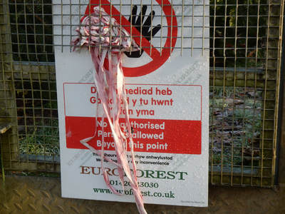 Today began badly. I set out to clilmb Mynydd Machen from Machen. I parked by the church. A footpath goes up behind it which I followed uphill for a bit till it crosses a track. Here I met a sign. Forestry working. Footpath closed. Authorised Personnel Only. Oh well. I looked at the map. There looked to be another way, Instead of heading straight up I could follow the track round to the right past a place called Bovil and climb the hill a bit further east. So I set off. After about five minutes I came to another sign. Forestry working. Footpath closed. Authorised Personnel Only. I gave up and went to find another hill to climb. 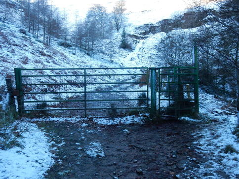 I drove to Upper Cwmbran and parked near a church in a car park where a path heads off up to Blaen Bran Reservoir. In fact there are lots of paths. It was pretty busy – this is evidently where Cwmbran comes to walk its dog. And it was beautifully sunny with snow on the ground up here if not at sea level. I wended my way up past the ruin of Mineslope Mine and past the reservoir where a track led up the steep slopes onto the plateau, a big sunny snowy wilderness with a big line of electricity pylons, leaving the dog walkers behind. Turning right and following these led me eventually to a couple of transmission masts and a track leading right from here led to the summit trig point of Mynydd Twyn-glas. I climbed back down to the reservoir a bit further north on a rather steep rather vague path but was soon down among the dog walkers again. 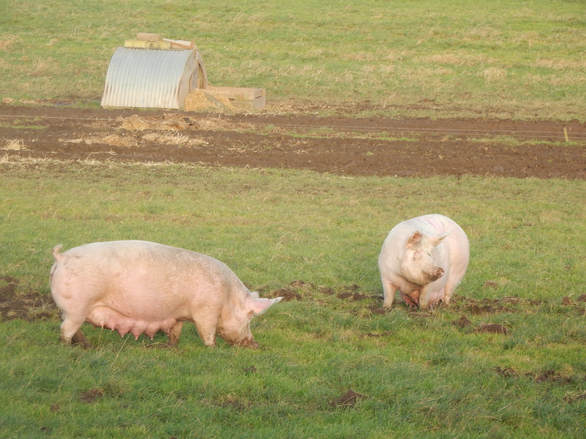 If, as I was today, you are driving a long road between England and Scotland but fancy breaking the journey for a short walk this can be recommended. Turn off the A1 a little north of Berwick-Upon –Tweed where a signpost signs the way to the gloriously named Conundrum – which is just the farm immediately on your right as you come off the main road. Drive up a hill and round a corner to find a car park with a wonderful view back down over Berwick. There are two tracks going off west one from a bit above the car park, one a bit below. I set off walking on the one below which leads to a trig point just after which there is a track of sorts running roughly north to pick up the higher pf the two tracks which I followed back to the car park. About 3km. It doesn’t take long. The hill is the site of The Battle of Halidon Hill where in 1333 the English inflicted a crushing defeat on the Scots. One you pass the trig point the track borders a huge pig farm so you will see a lot of pigs. |
|
 RSS Feed
