

| Jimmy Lenman |
|
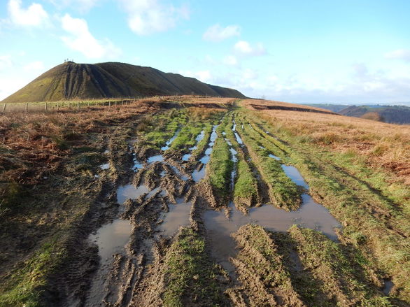
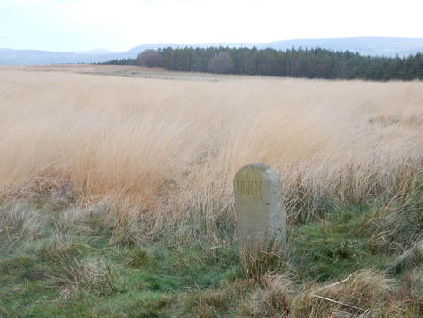
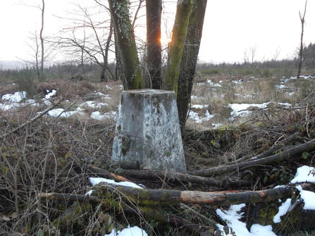
 The previous day (qv) I had failed to climb Mynydd Machen from the south because of paths being closed for forestry working. Sop today I thought I would have a go at climbing it from the north. I drove to Cwmfelinfach and followed the little yellow (well, on the map) road that goes south then east. It gets very narrow and there are very few passing places but there wasn’t much traffic. After a couple of miles I came to a cattle grid just after which there was a car park and a sign saying, Road Ahead Closed. So I parked. A track went uphill from here which soon branched. One branch, going SE, had a sign: Forestry working. Path closed. Authorised personnel only. The other, which went east a bit lower down, did not. Someone was coming down it and I checked with him that there was access all the way. Yes, he said. There was. So up I went and indeed there was. It is a pretty easy, pleasant walk. One of those rare walks so straightforward I never once took the map out of my pocket between leaving the car and returning to it. Near the top there is an enormous spoil heap. It is fun to walk along the ridge made by the top of this but getting on and off it is briefly unpleasantly steep. There was a lovely view from the summit trig point down onto the Bristol Channel.  There was plenty of the day left so I drove round to Wattsville and parked in Troed-y-Rhiw Road at the bottom of the hill. I followed a track down hill and then parallel to the road signposted to Hafol Tudor Cottage. The map shows this leading to a right of way footpath up the side of the hill but I never went that way. Instead I soon turned off right down a forestry track. This zigzagged up through the woods encouragingly. After a few zigzags it started to head downhill but just where it did so there was a path, clear if a little overgrown, going off to my right up the hill. This led up through what was left of the forest, got briefly very steep and rather unpleasant going up alongside the highest trees and eventually parked me on the large summit plateau, a rather beautiful sea of long, yellow grass. (Unlike yesterday on Mynydd Twyn-glas, there was no snow here at all.) The top is marked by a boundary stone and is some way south of the 381 spot height shown on the 1:25,000 OS map. It was a little tricky to found with the grass so long but find it I did.  I decided to come down using the right of way path I had spurned on the way up. The top of this is tricky to get to from here as it involves climbing down into a rather steep and pathless gully. I did this, found the path at the edge of the forest and followed it into the trees. I went down it pleasantly enough for about ten minutes until I came to a sign. Forestry working. Path closed. Authorised personnel only. This was not good. Climbing up a hill is a mission one can abort. Climbing down one not so much. It would have been a long a tedious way back up and round from here to find another way down – perhaps where I had come up. I couldn’t see or hear and forestry activity so I carried on swiftly and warily. After a bit I came to a place where there had indeed been some forestry work quite recently and it had obliterated the path. But I found some more zigzagging forestry tracks that soon took me back to the road. No sign of any tree felling in progress. And no corresponding sign at the bottom of the path. There was still a bit of daylight left when I got to my car so I drove east to Wentwood where I made a quick visit to the top of South Wales’ easiest Marilyn. Five minutes out and back from a car park at the top of what was toady a rather snowy bit of road.
0 Comments
Leave a Reply. |
|