| Jimmy Lenman |
|
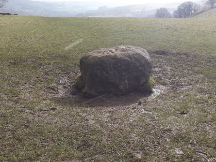
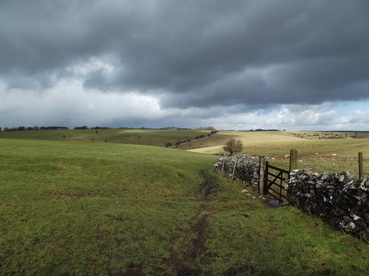
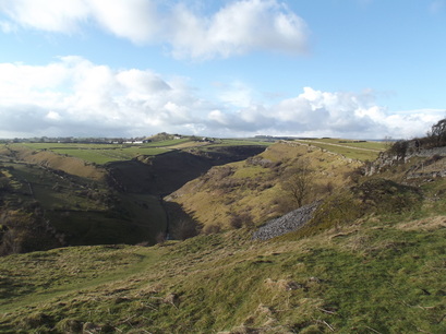
 WIth Anca. When I moved to Sheffield in 2003, one of my first purchases was a more or less randomly chosen walking guide to the Peak District. My random choice was Iain Grant’s 100 Walks in the Peak District. I soon discovered that this is in many ways not the most inspiring of walking guides. The black and white photographs are among the most lacklustre and unmemorable you are ever likely to find in a book of this kind. Or any other kind. The sketch maps that accompany each chapter are downright perverse in their complete disregard for the helpful convention of printing maps with N-S aligned to the top and bottom of the page. Instead the N-S line assumes all manner of random diagonals and in some cases is actually upside-down aligned with the page. And yet I remain fond of Mr Grant and have now walked almost half way through his book. 100 is a lot of walks and Grant knows his way around. All are interesting. Some are a little daunting, taking one down unfrequented, almost forgotten, overgrown footpaths where you may encounter dodgy cattle (I think we’re OK just letting Daisy have the field where the footpath goes for now. He’s only crazy some of the time and hardly anyone comes this way....), among other hazards, though not so much in February. And Grant is pretty dependably accurate, allowing for the almost 20 years since publication. This very satisfying walk is on pp. 114-116.  We began in leisurely style with an unfeasibly large portion of breakfast in the friendly Grindleford Station Café. The weather was beautiful when we arrived in Eyam where we had some more tea - why ever not - in the lovely Village Green Café where the lavishly iced cakes on display had me wishing it was later in the day and we hadn’t just had breakfast. Then we set of through the snow which had meanwhile replaced the beautiful sunshine, past the sombre boundary stone, down to Stoney Middleton and from there down some more into Coombs Dale, a lovely place I’d never been before or thought to go. The sun was back now and the snow had stopped. After 40 minutes or so we reached the junction called Black Harry Gate after some highwayman apparently where, in my capacity as navigator, I meant us to turn left up the hill to Longstone Edge but was so distracted by the argument we were having that we wandered a half kilometre or so further before I realised my mistake and we doubled back. Up we went to Longstone Edge only for me to have to double back again to retrieve Grant’s book which I had left on behind on a wall. It started snowing again.  From the Edge we took the road the heads WSW. Where it turned south toward Great Longstone, we took the path NNW, past some placid highland cows, and steeply up to Longstone Moor. Round about this time it started to snow again but the sun returned as we headed back downhill to Wardlow. From here we took the long way to Wardlow Mires west into Ravensdale and up this to its head. Here we paid a price for all my timewasting of earlier. Anca was quite exhausted and needed to stop at the Three Stags’ Heads. I worried that there was too little daylight left to us for that to be wise. So we agreed she would call it a day and wait in the pub while I legged it over the fields back to Eyam to fetch the car. The pub looked closed at first but the door opened and another beyond it to reveal a small dimly lit room with a huge fire full of hairy-looking people and dogs. It all looked a bit Wild West and I hoped Anca would be OK there for the time it would take me to cover another three miles on foot and four by car. I legged it through more snow to Wardlow barely stopping to savour my first visit to the magnificently named Silly Dale. And from there to Eyam, now pretty worn out myself, and the short drive back to the Three Stags to recover my abandoned companion. I needed have worried. She had loved the place to bits and not wanted to leave. We drove back to Sheffield for a well-earned curry. After I dropped her back at her digs I headed home and tucked myself up in front of a dvd of 1956 comedy thriller, The Green Man, watching Alastair Sim, George Cole, Terry Thomas and Jill Adams dance their way through its preposterous plot, a great end to a great day.
0 Comments
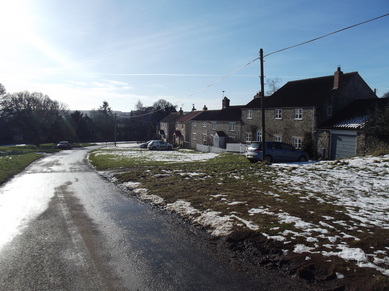 Paddy Dillon in his Cicerone Guide suggests a circular walk from Rievaulx Abbey to Old Byland and back. He notes correctly that parking at Rievaulx is pretty tight. So I thought I’d do it as a circular walk from Old Byland. This meant starting at the highest point, going down and then up, which feels all wrong to some, but I’m not so bothered. I parked in Old Byland. It’s high up here and there was still snow lingering about. I took the the minor road north. After a bit it turns sharply left and gets steep. Lot of ice on the road surface made this awkward. I was glad not to be driving down here. 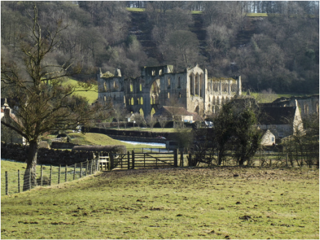 Near the bottom of the hill, near Caydale Farm, a footpath off left took me off through the woods to Tylas Farm. From there I followed the River Rye to Bow Bridge and then crossed a horsy field to the ruins of the once mighty Cistercian Rievaulx Abbey where I gave some money to English Heritage and had a look round. It is beautiful here. The English Heritage tea room isn’t very nice though. From here I walked south to Rievaulx Bridge, right across this, on past Hagg Hall to pick up the Cleveland Way through Nettledale with its little lakes, over some stepping stone and up through Nettledale Wood and old some muddy fields in beautiful winter sunshine back to Old Byland 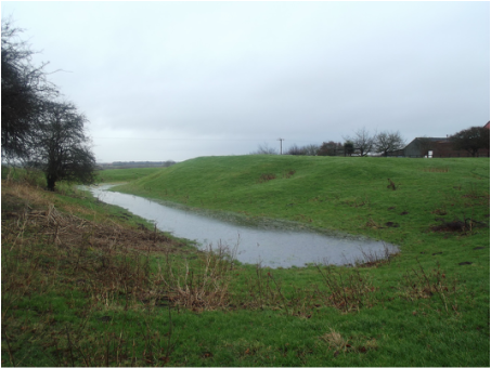 Chapter 3 of Williamson’s Castle Walks has an unpromising start where he advises us to equip ourselves with OS Explorer sheets 284 and 292. I think you will get on rather better with 292 and 293. So equipped, I set off from Ryehill over a field to Hariff Lane, up this then left on the old railway to pick up Station Road into Burstwick. Then north as far as Old Hall Farm just after which there is a footpath sign to the left. From here as far as Burstwick drain all felt a bit iffy: one of those footpaths where you get a strong sense that (a) no one ever uses it and (b) that is a state of affairs the landowner is pretty keen should continue. I climbed a very wobbly and dilapidated stile and walked down a field to climb another on which was a small sign reading simply “DANGER”. What the Dangerous Thing was was left to me to conjecture. A little warily I now proceeded to inspect what is left of Burstwick Castle. This did not take long. Here it gets confusing. The map suggests the footpath goes straight up the drive past the front of the South Park farmhouse but that looks rather private and uninviting. Williamson’s book says follow a local diversion through a gate off to the left and then through a field to the left of that. Without Williamson’s book I would hardly have guessed as much but did eventually spot a tiny “Permissive path” sign stuck to the fence of the field. So I crossed it. Rather warily as I was clearly making that big, mean-looking cow uncomfortable and I didn’t care for her body language. I gave her a wide berth and hopped over the wall early rather than keep on to the stile she had stationed herself by. Perhaps she was the Dangerous Thing and I would have been wiser to use the drive. But perhaps that is where the Dangerous Thing lives. I any case I made it round South Park and picked up the track which I followed to where a footpath is shown on the map veering off towards Raceground Bridge. There was no such path on the ground, a crop having entirely obliterated any trace of it, and, since South Park, there was no signage anywhere. So I just marched across the crop field where the path was supposed to be. This took me to Burstwick Drain, where I picked up a less ontologically insecure path which I followed right into Hedon idly wondering just how thirsty one would have to be to conremplate drinking the filthy water in the Drain. 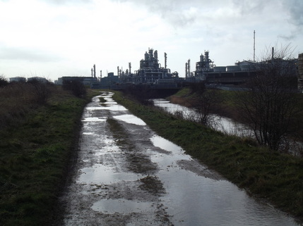 On I went round the south side of Hedon, past the Haven Arms. From here it is a long, easy walk towards the Humber dominated by the massive Salt End Chemical Works and Power Station. Reaching the estuary I turned left and walked into Paull. The coast path from here has loads of signs saying it is closed because of erosion. I followed it a short way, optimistically ignoring them (hoards of local fishermen were doing the same) as far as the point where Williamson recommends a short detour to have a look at Fort Paull Battery. I walked round to the driveway to this where I met a man who told me it was private property and would I please go away. Which I did. Then round past St Andrew’s Church to pick up Thorngumbald Road. After this it’s just tarmac all the way to Thorngumbald where a footpath offers a shortcut through a garden centre and some fields back to Ryehill. This was very much a a walk in two halves though I may have been biased by the weather which improved a lot about halfway through. As far as Hedon I thought it had very little to recommend it. After Hedon it is much pleasanter, though the last couple of miles from Paull Holme to Thorngumnbald is a bit dull and tarmacky. A shorter circular walk could perhaps be devised incorporating all the good bits and none of the not so good by linking up Paull Holme with Hedon using the footpath along Thorngumbald Drain and the B1240. It would mean missing out on the castle but that is not the most excitingancient monuments I ever visited, less a castle than a rain-swept field where a castle once was. |
|