From 1st October through to 1st February there is a game shoot which is active 2 or 3 times per week, but not on a Sunday”
| Jimmy Lenman |
|
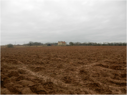
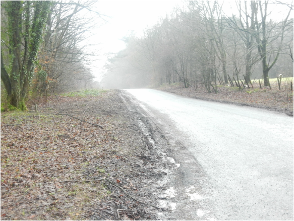
 It’s been a while since I investigated any walks from Williamson’s Castle Walks in Yorkshire so I thought I’d have a go at Chapter 8 – Pickering Castle and Cropton Motte. This incorporates a footpath north of New Bridge Quarry that crosses a rifle range and is, for that reason, Williamson informs us, closed on Sundays from April to October. But it’s January, so no need to worry. I thought. Things do change. The starting point for one thing. All Williamson’s walks start and end at a pub, in this case the Middleton Arms in Middleton. Sadly this pub closed in 2010 so I parked by the church round the corner from where it used to be. Daylight was a bit tight so I skipped the footpath round the back of the church PW suggests and started down the main road. Left at the petrol station down Middleton Road, into Pickering and left again at Swainsea Lane, then right after a bit at a footpath sign took me past houses to pass the old motte of Beacon Hill, the first castle of the day. Not much to see. A big grassy mound behind a barbed wire fence. Then the path head down a steep hill where you turn left over a bridge on the edge of the town centre. Now north again up Park Street. When the pavement becomes elevated there’s a road right that leads to Pickering Castle. This looked worth a proper look around but today I only had time to glance at it before heading back down to Park Street and following it out of town to the railway crossing at New Bridge. Just after this is the entrance to New Bridge Quarry. PEDSTRIANS PLEASE STAY ON THE SIGNPOSTED ROUTE FOLLOW YELLOW MARKERS. So I did. And I messed up. Not far in, there is a branching footpath off to the right. I should have gone this way. I didn’t and carried on right through the quarry. It’s quite creepy here, dead silent on a Sunday. Higher up some crows broke the silence a little. A owl flew elegantly out from a crag in the rocks. Finally coming up to the edge of some woods I found New Hambleton Farm right in front of me and realised I had gone wrong. I should have been off to my right where the rifle range was. But I didn’t try to correct the error because now it wasn’t silent at all. There was the sound of gunfire. A lot of gunfire not far off over to the right. So much for April to October.  Plan B. I followed the path north to pick up the farm’s access track and followed that back to rejoin my old friend Swainsea Lane, now a peaceful minor country road which I followed north for a couple of miles to reconnect with Williamson#s route at the T-junction by Saintoft Grange. Round the coner from here is another site of antiquarian interest in the shape of Cawthorne Roman camp so I went for a quick look round. It’s not Housteads though: there’s not very much to see, just grassy ground misshapen enough to make it evident that there were built structures here once. Then I headed back to the road and on towards Cropton. After about a mile the road can be abandoned to follow a field path then a lane leading into the village past Sycamore Farm. There are a lot of signs on front gates around here advertising the ferocity of the householders’ dogs but of dogs today at least not much sign. I turned left here towards the village then right soon afterwards to follow a path towards St Gregory’s Church. Just behind this is T’hall Garth Motte, the third and final castle of the day. From here it was a short distance southwest then south to the New Inn (looked inviting, should really investigate some time perhaps combined with a proper look at Pickering Castle) just past which is the footpath sign pointing right into Bull Ing Lane. This was a bit unpleasant, very, very muddy. After that it was mostly tarmac apart from a short section of footpath round the back of the houses at Wrelton all the way back to Pickering. It wasn’t a bad walk but a bit tarmacy for my taste. It might be better, with only slight modifications as an easy afternoon’s sightseeing bike trip. At one point in his description, Williamson breaks off to offer a few sentences of reassuring words for the cow timorous which might encourage readers to be wary that bovine encounters are a big feature of this walk. Not today it wasn’t and even in high summer so much of it is tarmac with very little in the way of field paths, it’s hard to see that could be much of an issue. But try not to get shot. Postscript. Turns out I didn't need to worry. After doing this walk I emailed the Pickering Rifle and Pistol Club. Their treasurer replied as follows. “There is no problem re access to the public footpaths through the range at any time. On a shooting day the Club operates a system of radio equipped sentries linked to the firing point ensuring safe passage whilst walkers are passing through. Commencing 3/4/2016 we will be shooting every Sunday until 30/10/2016. If you are planning for a very large group, I would appreciate you letting me know in advance in order that we may manage the disruption.
From 1st October through to 1st February there is a game shoot which is active 2 or 3 times per week, but not on a Sunday”
0 Comments
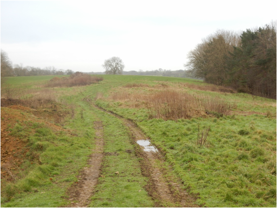 There’s a bit of space to park by Hackness Village Hall. So I did. Have my boots shrunk? Have my feet grown? It was an epic battle getting the damn things on. I won it eventually. North up the road then I doubled back up a track leading up Hackness Head. Here a footpath follows the long high ridge that is Broxa Rigg. Like Suffield Heights across the valley this is a lovely, lonely high place, little known and little frequented. After a mile or so this led me into the hamlet of Broxa where I headed right up the minor road towards Broxa Forest but then right again a bit before I got there. This path crosses a field into a rather smaller wood and then muddily downhill towards Hard Dale. Here another footpath heads north towards Newgate Gills. Once opposite Newgate a very steep muddy path beads down to cross the river and then, still steep and muddy, back up the other side to the house. The path up to Springwood Heights is a bit to the right of the house and is very steep and muddy indeed. After crossing Spirngwood Heights it was just a matter of descending into Whisper Dale and following it down to Lowdale Farm. Just before the farm I encountered large numbers of posh people with guns who had been busying themselves shooting small animals and were clearing up and heading home. Just after the farm the road is permanently flooded for a hundred yards or so where it coincides with the river. Pedestrians can avoid this bit by using a field path off to the left. Which I did. 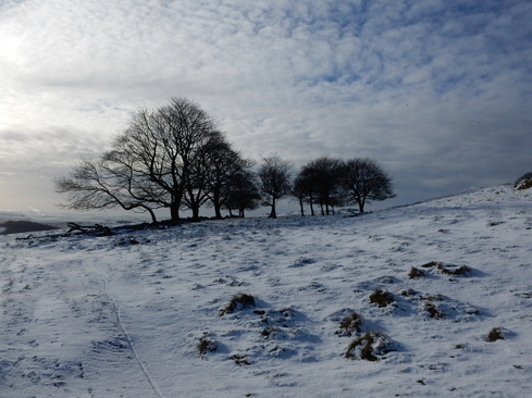 This is a Peak District elementary classic. It is open to endless minor variation. On the way out, you can veer of west to visit Eldon Hill and Eldon Hole. On this beautiful day with the hills white with recent snow, I kept it simple heading straight up the path past Conies Farm. The track gives up at the farm after which you’re joining the dots with field stiles above Conies Dale. Then it opens out heading over access land past the left hand edge of Jewelknoll Plantation. The path was hard to see in the snow here and I was grateful to others who had blazed me a trail. So on over the hill to pass close by Oxlow House, where I turned rightv onto the road. Again you have choices here. Some will want to make the walk longer by including an ascent of Mam Tor. Or you can follow the road down Winnats Pass – a spectacular walk with a footpath keeping you away from the road and the cars. I turned left at Winnats Head Farm and headed across the moor to Blue John Cavern. From here a nice path leads down the hill past Treak Cliff Cavern to Speedwell Cavern. There is some steep ground here and the path was a little icy but it was less treacherous than it looked. From Speedwell Cavern a field path to the south gets you to Castleton avoiding the busy road. 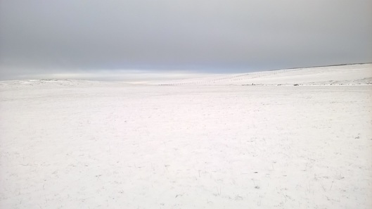 I was hungry now and Castleton was full of signposts alerting me to the presence of pizza, Whitby scampi and other tempting things. But daylight was running low and there wasn’t time to be stopping to eat. Back I went following the Limestone Way up the beautiful Cavedale below Peverill Castle. In the wintery weather the moors beyond this felt agreeably wild. About halfway back to Old Dam you cross a track where there is again a choice to make. (1) You can stick with the Pennine Way where a little detour will grab you the trig point at the edge of Bradwell Moor; (2) you can start that way then turn right down Oxlow rake; or (3) take a dog leg variation further east past old mine workings. (Grant’s book is confusing here: the topo mark clearly shows (2) but the text describes (3) though no very accurately – “wall to the left” should read “fence to the left” but a lot may have changed since 1993.) In any event I opted for (2) and descended easily back to Old Dam. 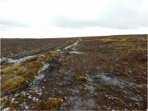 This was in the aftermath of a lot of very bad flooding all over northern England and it showed. Approaching Westeredale there was floodwater on the road just past Kildale and there’s two fords to drive through after that both of them a bit more exciting than I’d have liked. But my engine didn’t blow up and I made it to Westerdale where I parked by the church and set off for Broad Gate Farm. Just out of the village a right of way cuts a small corner across a couple of fields. One of these was full of not very timorous sheep that decided to all rush at me together. I couldn’t tell if they were being friendly or aggressive but they were, mercifully, just sheep and permitted themselves to be gently shooed away. After the farm, where the cowsheds were heaving with cooped up beasts, the track becomes a path heading up past Dale Head and onto Castleton Rigg. A lady and her dog passed me toward the top, the only other walkers I met anywhere on this rather overcast and drizzly, if by recent standards relatively dry Sunday. Coming up to the road a sign warns drivers that the road downhill to Danby Bottom is an alarming 33%. But that wasn’t my way which lay south towards Fat Betty (the OS prefers the much duller name of White Cross). It’s a lovely high moorland road but there’s a fair bit of traffic taking full advantage of how straight it is to go rather fast so I was glad to leave it and head onto good, if thoroughly waterlogged, paths leading past the aforementioned Betty, over another road, and round Rosedale Head to meet an third road by Flat Howe a mile or so north of the Lion Inn. There was a dead sheep on the ground here, the first of four I spotted; I guess the prolonged and sometimes extreme wet weather had done the poor creatures no good. 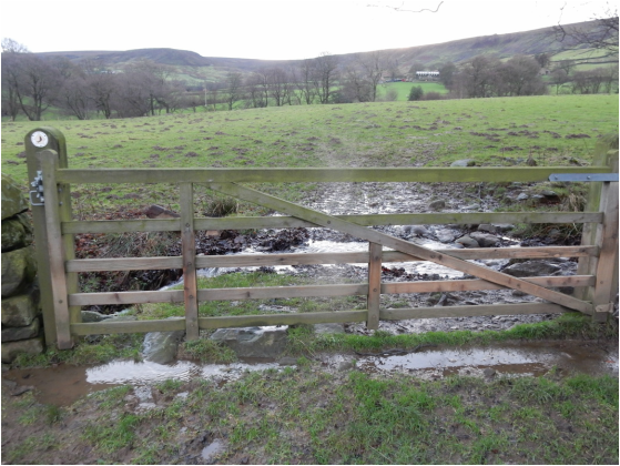 Across the road a track marked by a big stone heads off west. It branched almost at once. I went right. From here I headed downhill past grouse butts. The track soon becomes a path – it’s marked on the map though not a right of way, but it’s access land now so it hardly matters. After the grouse butts the path more or less disappears for a while. Here Dillon in his Cicerone guide recommends looking out for, in order, a yellow-painted post, a stile over a fence, a gate in a drystone wall and for some “paint blobs and arrows leading off to the right”. I missed the post and the blobs and arrows but found the stile and the gate. After the stile the path starts to reappear and its gets easy. At the bottom you cross the stream and there’s a track leading a short way uphill to where a right branch is the Esk Valley Walk northwards which I followed most of the way home. It’s easy, well signposted, heading towards a clump of tress and, just before reaching them, branching off from the track as a path that leads straightforwardly to the access track to High House. Everything is pretty well signposted round here as the EVW heads up and round to the left of Wood End Farm to reach the access track to High House. It’s not so obvious here but you cross the track and bear left following the river bank till a footbridge crosses a tributary. Then it is plain sailing as far as the access track to New House Farm. Half a kilometre down this both the EVW and the walk described in Dillon’s book carry on north toward Hawthorn House but I took the lazy alternative following the road from here straight down past Hall Farm (more cowshedsheaving with beasts) and back to the village. 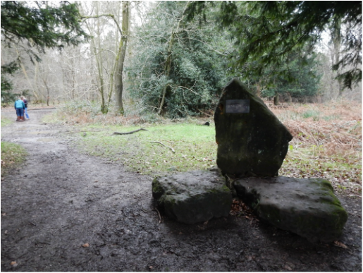 With Olga. Another short one. We drove to the car park by Wellonhead Bridge on the canel near Aston Clinton. Down to cross the Upper Icknield Way, then up through the golf course to the trig point on Aston Hill. Over the field and easily through woods to the top of Haddington Hill where a sign on a big stone advertises that this ois the summit of the Chilterns (as it is also of Buckinghamshire). There’s a great labyrinth of paths and tracks here and we wandered down these in what seemed the rough direction of Wendover. More care would have been good as we ended up coming down by Halton Camp, an unwelcoming neighbourhood, all barbed wire and warning signs with pictures of German Shepherd dogs. We walked round this, which was a bit tedious, to pick up the Upper Icknield Way, heading left through the woods after about a km to do the last wee bit along the canel. 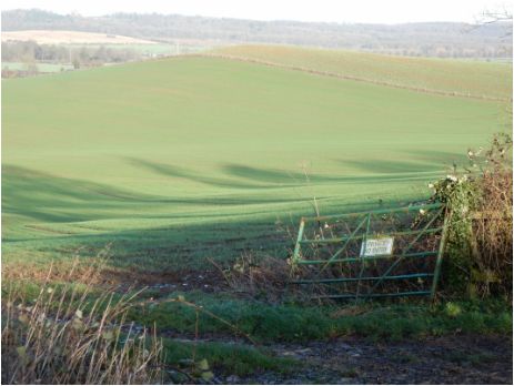 This was a tiny walk. Done to break a long drive. I parked by the Bird Watching Centre in Egleton. I had hoped to do a circular walk taking in the Rutland County Top at Cold Overton Park. But it quickly got clear there wasn’t nearly enough time. So I settled for a tiny walk, fallowing the Hambleton Road west, then the path that continues it, east then south east to Bridge Farm, round the corner by Brooke Priory and then up past Priory Farm. Then right on a track that soon rejoined the outward route. Pleasant easy walking on one ofthe very few fine-ish days of this horribly wet month. Then I drove to Glebe Farm on the Cold Overton Road to grab the county top the easy way. |
|