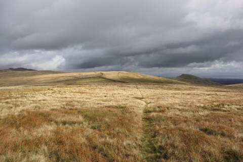
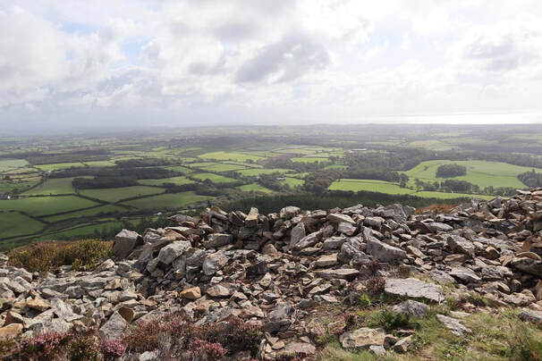
 It didn’t take very long to walk up and down this so then I drove north for Gyrn Ddu. Here is a little yellow road to the east of the latter hill, very narrow, very quiet. From here the map shows a footpath heading onto the plateau halfway between a place called Hengwm and a mast a bit to the north. The road widens briefly just where the path joins it making it possible to park without creating an obstruction. So I did. It’s not a very pleasant path up onto the plateau but it improves when it gets there giving lovely walking in this beautiful, deserted place. The path leads to a short walled lane between fields after which I left the path marked on the map but a faint path not on the map took me up to the right and most of the way to the summit. The summit itself is a massive pile of boulders clambering up which was not very pleasant but did not take long.
0 Comments
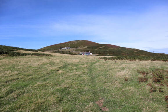 I parked by a chapel to the south where there is a public footpath signpost. A horribly overgrown path goes from here to Pwlldefaid where a couple of kissing gates lead into a field. A couple of doggies barked at me as I passed Pwlldefaid but they didn’t look like maneaters. The path soon turns uphill passing a couple of little farmhouses. A sign on the gate of the first says simply ‘Danger’ without going into any detail what the danger consists in. I carried boldly on without coming to any harm. A pleasant climb brought me to the top. I went down the same way, again unassailed by the dangerous thing, as far as Pwlldefaid. Here another path goes off left returning to the road more quickly so I gratefully used it and avoided the jungle. This was the walk described on pp. 40-42 of Steve Ashton,s Walking in Snowdonia. It starts up the footpath signposted off the A5 about 1k north of Capel Curig. Parking here is not abundant but there is a small lay-by thing a sort distance north. I followed the path uphill past a house to a gate in a wall (not the ladder stile Ashton reports). Then the path carries on north over a rather boggy moor eventually crossing two bridges a short distance apart, the first concrete, the second wood. From here it’s straight up the ridge of Pen Llithrig y Wrach. Ashton says ‘pathless and breathless’ and he’s right about the latter but I was on a narrow but fairly clear path all the way, thank heaven, as fighting up the pervasive steep heather would not have been fun. On a path it wasn’t so bad. 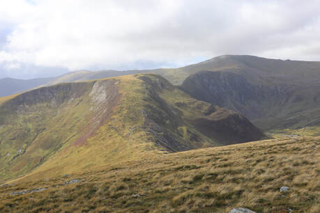 The weather was turning from summer to autumn. Showers came and went but they blew past fast enough and didn’t stop it being delightful high up as I carried on down and up straightforwardly enough to Pen yr Helga Du. The rocks of Craig Eigiau gleamed in the sunlight across the Cwm. Tryfan, the other way, mainly stayed gloomy. The descent of of Pen yr Helga Du by Y Braich is delightful, easy angled on a pleasant grassy path. Towards the bottom a stone wall crosses the ridge and Ashton writes, “trend left, descending steep grass to reach the leat. Cross it by the second of twin footbridges, turn left,...” Turns out these days the landowner is not keen for us to do this and both footbridges are blocked by a sturdy and taut barbed wire fence. I am a highly experienced barbed wire fence gymnast and crossed it regardless but I am not in my first youth and it was tricky and a pest. I had some wild horses for company here, grazing placidly a few feet away. From here I did as Ashton recommends and followed the grassy towpath back to the wooden bridge crossed on the way up and so home. 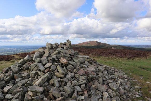 I broke the drive from Sheffield to Snowdonia by gathering up another little Marilyn in the Clwydian Hills. I parked at the top of the Bwlch Pembarras (pay and display, cash only, £1.50, be sure you have change). There are paths everywhere on this little hill and you can choose whether to take it direct, which is short but unrelentingly very steep, or relieve the steepness by going in zigzags. I did the former going up, the latter going down.. |
|
 RSS Feed
