| Jimmy Lenman |
|
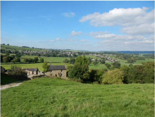
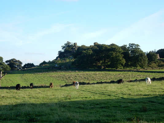
 From the main road in Youlgreave there is a road off to the south signposted to some toilets. Following this you come, unsurprisingly and perhaps conveniently, to some toilets and the black corrugated iron village hall and on past these to the riverside. Here you cross the river and follow a waymarked path steeply uphill and over a field, soon coming out at a lane. Straight over this and up to Mawstone Farm which you bypass on the left and keep heading up to the corner of Bleakley Plantation where you head straight on at a crossroads of foottaths. Just after this a big herd of cows blocked my way, including a bull. I strode boldly past unmolested. The bull lounged around and ignored me. The good path carries on south, skirting to the right of Anthony Hill to come out on Cliff Lane near Elton. You can follow the road round the corner or take a footpath cutting the corner over the fields. I did the latter which brought me ought in the village near the church.  Behind the church is a lane from where a path heads off ENE easily over fields to Dudwood Lane where you turn left. From the top of this a path leads off N then NW with Robin Hood’s Stride on your right and an old stone circle on your left. Here there were some more agreeably placid cows to negotiate before I reached the road. At this point there is a choice. The Limestone Way takes a bit of a meander through some woods while a more direct right of way cuts straight through Harthill Moor Farm. I took the latter route which leads straight up to the farm where it is not very clear which is the right way through. I decided against the gate which a notice saying “Beware of the Dogs” and in favour of heading left as the map seemed to suggest. This worked and once round the corner a waymark sign led me quickly away from the buildings round a hillside and back onto the Limestone Way which I followed pleasantly and easily back to Youlgreave.
0 Comments
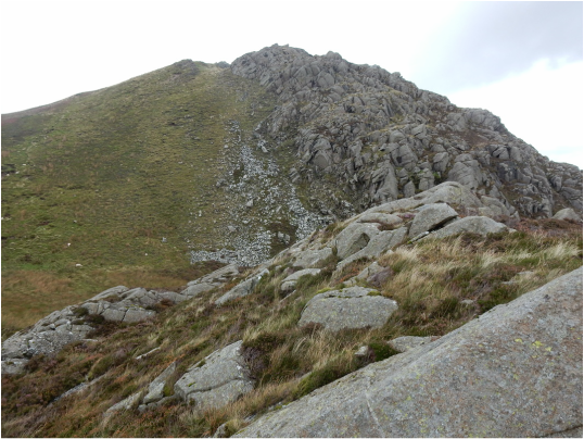 There’s a little clump of buildings at the Capel Curig where the A4086 meets the A5: Pinnacle Stores facing the road with the Joe Brown gear shop hidden away behind and behind that and some toilets a free car park. From here I crossed the road and climbed a stile by the churchyard to follow a path up a field, round the back of Y Pincin and through woods eventually leading to a bridge where the path leading to Crafnant swings left. I trudged from here to the top of the pass before the reservoir where I turned off towards Crympiau. According to Steve Ashton’s Cicerone guidebook there is no path up here but there is now and I followed it easily enough to the top. From here you have a nice view over the Creigiau Gleision ridge, a little miniature mountain range. I bypassed Craig Wen and then had, as a Nuttall collector, to figure out which lump was Craiglwyn. (In case it helps it's the one pictured on the left.) 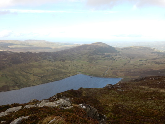 That solved I traversed it and on over the rocky upper reaches of Creigiau Gleision and on again to its north top. From here you need to head for the fence which the 1:25,000 map shows a path following west to where another fence branches right and another path follows that into the woods. The right branching fence now barely exists except as occasional rusty posts but the path if clear enough and leads into the always challenging confusing tangle of a forestry plantation. The way through this to Hendre is occasionally waymarked and I managed to stick to it without much difficulty then followed the road round to a corner where track is signposted Blaen-y-Nant another on its left not signposted at all. I took the one on the left which avoids the farmhouse and heads up the hill to rejoin my outward route. 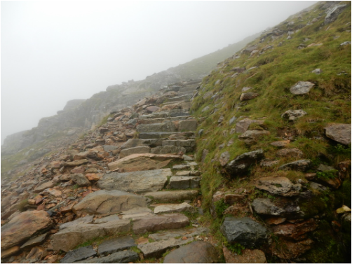 The plan was to climb Snowdon and then head down to Llanberis by the Meol Elio ridge. But I didn’t want to climb up by the rather tedious Llanberis path. So I parked in Llanberis and jumped on a bus to the car park at Pen y Pas. Facing the hill here the Miners’ Track is the one on the left, the Pyg Track the one on the right. The Pyg was for me today. It’s really a delightful way up, straightfoward enough but with just enough clambering around – it can hardly be called scrambling – to keep it fun. Some guidebooks characterise the zigzags at the top as some kind of purgatorial horror but I couldn’t for the life of me see why. I got to the top in thick cloud for the third time in a row. I don’t object to having a café on top of a mountain but it would be nice if it was a nicer café. I was hungry enough to eat one of their not very delicious pies. 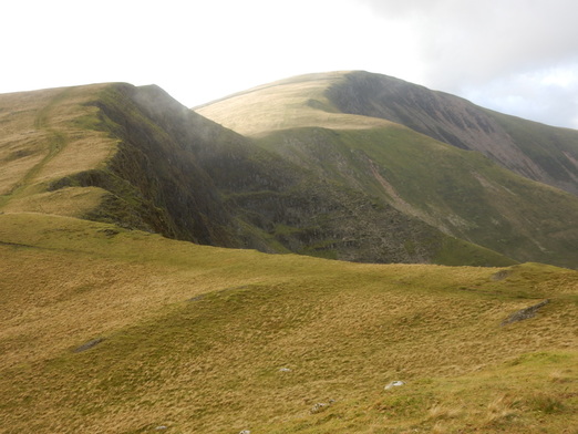 I wanted the Snowdon Ranger path down which was easy enough to find, everything here being rather well signposted. You just turn left and cross the railway just after the trun off back to Minerts’/Pyg at the top of the zigzags. You go down Snowdon Ranger until Llyn Ffynnon -y– gwas appears on your left and the ridge of Moel Cynghorion looms up on your right. To get to this point you seem to descend an alarming long way but of course you are going from a 1085m summit to a 674m summit which is a long way down and the climb back up to Moel Cynghorion is not so very long. From here it’s just a matter of following a path along a lovely up and down easy ridge all the way to the top of Moel Elio with its huge wind shelter. From here I followed the NE ridge down. There’s a bit of a path and stiles where they’re needed. Eventually, after a short section where my path rather gave up on me, I got to a road which I followed, for still a fair old distance, back to Llanberis. The burgers in Pete’s Eats are nice. 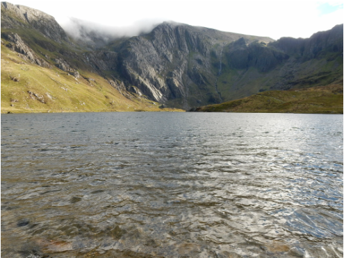 Richard Sale’s Collins Ramblers’ Guide to North Wales describes a wide range of walks ranging from such challenging classics as the Snowdon Horseshoe and the Bristley Ridge with Tryfan to effortless little strolls like this. I'm afraid I seem to have done more of the strolls than the challenges. This one really is just an easy afternoon jaunt filling about an hour. You follow the path out of the car park at Idwal cottage ignoring a path branching off to the right down a rocky defile and you are soon enough arriving at the lakeside where you have to make momentous decision whether to follow the lovely path round clockwise or anticlockwise. I went anticlockwise. 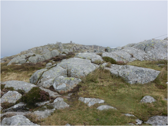 Another not very nice day, another suitably unambitious walk. Might as well pick off another of the easy eastern outliers of the Carneddau. OK. So Tal-y-Fan it is. Having just yesterday driven up the narrow hill road from Tal-y-Bont through Llanbedr-y-Cennin and found it rather hairy I thought I would try the other way up, from Ty’n-y-groes through Rowen to see if it was maybe better. It’s worse. Much of the way it is one of those single track roads with a grassy central reservation where drivers of little ordinary cars like mine will be constantly nervous of bottoming out. There is space for about one car to squeeze onto the verge where the footpath heads off up Tal-y-Fan but someone had beaten me to it so I carries on to the road end and used the car park. It’s an extremely straightforward ascent. When you get to the ridge there’s a choice of either scrambling easily along the bumpy crest or following a flatter path a little to its north. I did the former in approach, the latter in descent. Not much to report. The weather was a bit less horrible than yesterday. 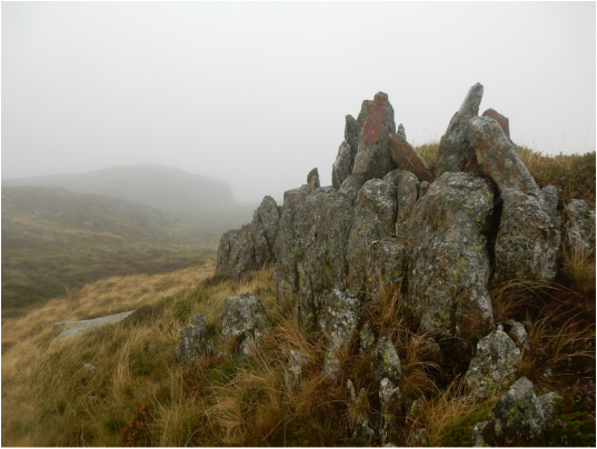 Today was a utterly filthy day so I decided to settle for a tiny, easy hill just for the sake of doing some kind of hill and picked Pen-y-Castell, a rather insignificant satellite of Drum that somehow makes it into the ranks of the Nuttalls. The trickiest bit is probably the drive, up a very steep, narrow road from Tal-y-Bont, not very generously endowed with places to pass. Happily not much came the other way. The road runs out below Penygadair where there is a car park and a nice wee bench dedicated to one Rosemary Roche 1923-1998. RIP Rosemary whoever you are. I followed the path west until just north of Tal-y-Bwlch where I followed a wall up the slope on my right. When it turned left I had to climb over it but this was easy enough and then on through the mist and rain to the top. Someone has constructed a queer little artwork here piling up some stones on a little rocky bit. I visited various spots hereabouts any of which might have been the top before heading back more or less the way I came though I managed to avoid having to clamber over any walls and so back to my and spent the rest of the afternoon drinking coffee and reading a book in the pleasantly awrm and dry Moel Siabod Café in Capel Curig. . 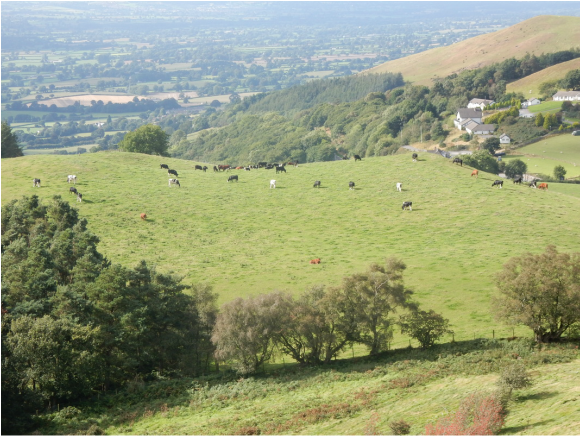 It can be a nice idea to break the long drive to North Wales by walking up one of the Clwydian Hills in the east. Todays target was Moel Gyw, easily reached from the top of the pass on the A494 between Mold and Ruthin. The huge car park to the Cwyd Gate restaurant was empty but signs prohibited parked by non-patrons so I found somewhere round the back where there seemed to be no objection and off I went, following the Offa’s Dyke Path which starts up a track to Pen-yr-Allt farm then heads of left over some fields. The largest of these was full of young bullocks but they were nice enough to pay me no heed as I passed. You then swing right and start to contour the hill. At this point a fence goes off left leading part way to the top. I spotted a vestigial path alongside and decided to try following it. This wasn’t a great idea. The path gives up where the fence turns left leaving me to fight my way very strenuously up 100m of extremely steep pathless knee deep heather. On the top a sign advises visitors to return the way they came, presumably based on the presupposition that most folk would have more sense than I had. And indeed I found an excellent path leading south from the summit to meet the Offa’s Dyke Path at the col between Moel Gyw and Moel Llanfair. Be advised, go up that way. Then back down the Offa’s Dyke Path, braving the still indifferent bullocks a second time. 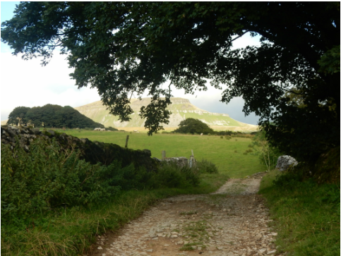 With Martin, Tommy and Joe. Two not so fit not so young men and two extremely young men, we met up, rather late, at the Pen-y-ghent café and climbed said hill. You head for the bridge by the church and up the road to Brackenbottom farm where a footpath leads off left and climb ds steadily towards the steep sky-line ridge. This is the business end of the walk but is pretty short – you’ve done most of the climbing before it starts, which is does just after you join the Pennine Way and turn left. It’s steep from here with a couple of short “scrambly bits” that are easy enough but add a little interest for the extremely young. Then we stuck with the Pennine Way all the way back north then west then southwest past the gaping hole of Hull Pot so back to Horton. It was late – eightish - when we got there but the care park was still full with a number of people trying the epic Three Peaks Challenge. Some of them staggered back as I was changing out of my boots, almost comically knackered. Our day had been much shorter but a delightful stroll up a hill that makes a fine introduction to the strolling up of hills for the extremely young. |
|