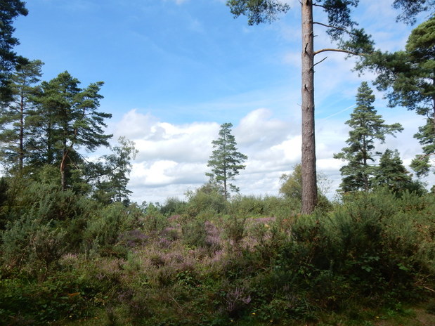
 The last of three short walks up easy Southern Marilyns. This one was an easy stroll from the car park in Tennyson's Lane. (Alworth House, where the poet lived is very cllose by.) A couple of hundred yards up the track here you pass what looks like a n oddly situated OS trig point but actually turns out to be a National Trust honesty box to pay for the car park, just far eough away to be a real pain in the neck if you realise at this point your money is back in the car. There is a complicated labyrinth of paths and tracks in the woods so I thought I'll just make sure I stay near the crest of the right and keep heading south-ish. Sooner or later that way I'll come to the Temple of the Winds. Which I did. A small group of Belted Galloway cows were stood around, including a bull, all extrenely placid and chilled. From here I headed back north looking out for a track off to the left which crosses the crest of the riedge not far south of the trig point. I took this and followed it west. After a short way it reaches the crest of the hill and here a little path heads of north that took me to the trig point. After that I more or less retraced my steps back to the car park. Lunch with a friend in Haslemere then the grim motorway north.
0 Comments
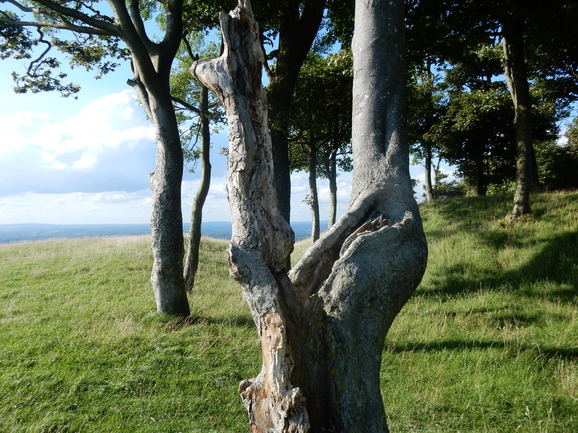 Another walk with a late start. The wedding celebrations at Arundel were petering out by about 3 so I drove up the A280 and A24 towards the South Downs. There is a carpark off the A24 where the South Downs Way crosses it. The easiest way to find it is to drive all the way to the roundabout and right on the A283 into Washington then right down the yellow road to the unsignposted turn for it. After that a very pleasant stroll leads up to the trig point. Aft6er coming this far it would have been a come not to carry on to the beautiful copse of beech trees on Chanctonbury Ring. The beech trees are a modern feature, planted in the 18th century but there was a temple here in Roman times. More recently tall tales abound of ghosts and witches. Be that as it may, it is beautiful round here and it would have been great to have a had a full day for a longer walk and a proper explore. 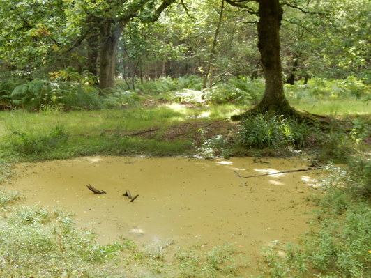 Driving south for an old friend’s wedding gave me a chance to grab myself a few little Marilyns. This was the first. After a long and very tedious drive from Sheffield I got parked up in Coldharbour mid-afternoon. The place is awash with posters. “Don’t Drill Leith Hill” – it seems there are folk wanting to do some exploratory drilling to look for oil or gas deposits and a lot of locals and others very keen to stop them. I planned short walk heading first to the trig point in the Abinger Forest, then to the trig point in Wolvens Lane and then on to the top of the hill. The first of these targets was easily reached. Then I had a navigational screw-up. I took a wrong turn in the woods near Collickmoor farm and ended up properly lost. I made the usual dubious decision in forestry, Well, I’ll just keep going this way till I come to a road, or a helpful signpost, or a building I can identify and on I went. (THis strategy is almost never a great idea.) Eventually I found myself somewhere I recognised. Er. Coldharbour. So start again. Off I went up through the woods pasty Upper Meriden Cottage to Wolvens Lane where I easily found the trig point. Then back a bit and right down a hill leading to Home Farm. Then down through the woods past Warren Farm to a crossroads where a path leads steeply off right to the toip of the hill. I met about 20 people around here which is about 19 more than I had met on the whole walk up to the point, mostly cyclists struggling up and racing down. 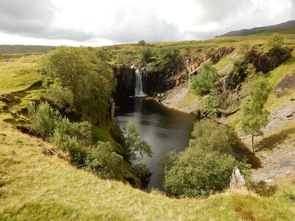 With David. These two hills have the rare distinction of being the only hills big and important enough to make it into the ranks of Lake District Nuttalls while at the same time seeming small and marginal enough for Wainwright to have overlooked them until he got around to his Outlying Fells volume. They do certaily seem like tiny insignificant little pimples set beside the bulk of Dow Grag but they make a nice easy walk on the edge of the Coniston Fells. The obvious way is just to follow the Walna Scar Road from Coniston. But I was staying at the WIlson Arms in Torver and the temptation was too great to just lkeave the car where it was an follow the footpath sign pointing north out of the car park. This took us tob the entrance to High Torver Park then right and on along a very pleasant track past an old quarry and the Tranearth climbing hut (property of the Lancashire Climbing and Caving Club) to a bridge over the beck. we crosed this and carried on past another old quarry this one graced with a rather impressive waterfall to meet up with the Walna Scar Road which we followed to the top of the pass. From here it seems a ridiculously short and easy stroll up to the top of Walna Scar and from there again a very easy walk took us to White Maiden. Down the same way. 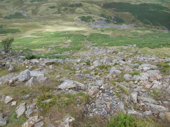 Confusingly there is more than one Lake District walking circuit known as the "Greenburn Horseshoe" but this is the only one to involve Weatherlam. I started at Fell Foot in Little Langdale just where the road to Langdale branches off from the Wrynose PAss road and a sign warned motorists of the impending terrors of the latter. There was enough space by the verge that I guessed I could tuck in my car into a bit of it without compromising the ability of other vehicles to get past one another. I followed a path which goes off right over Fell Foot Bridge and up to a house by another bridge. Here to go my way the path compelled me to do a slightly annoying zigzag detour along the track eastward and then doubling back on the patgh towards the old Greenburn Mine. The OS map shows a right of way just after a gate in a wall a bit before the mine heading off uphill towards Birk Fell Hawse. Right of way perhaps but I could see no path here just an inviting ocean of ferns. Wainwrights diagram suggests a path heading left a bit further on, near the old mine, then zigzagging up to the hause. THis wasn't very evident either and I ended up following not so myuch a path as a bit of a gap in the ferns. It got steeper and stonier and generally very unpleasant as I nearer the first of the piles of rubble marking where the old levels were. Soon after this the route bacame cairned and levelled off and before too long I was heading up Weatherlam Edge. This is a long scrambly ascent. For much of it a cairned path is followed round to the right of the crest of the ridge. Finally I reached the top. Weatherlam from Little Langdale is definitely a tough customer and I had come nup what Wainwright asserts to be the easier of the two routes he offered. 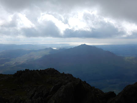 From here to my second Nuttall of the day was, by contrast, a very easy matter, a short stroll bringing me to BLack Sails. Then there is a rather longer descent down to Swirl Hawse and the foot of the Prison Band. This has a reultation for being the scrambiest bit of the standard Conistonh Fells circuit from Coniston but coming after Weatherlam Edge it seemed pretty tame if very pleasant. On top of Swirl How the weather was getting a bit grey and frelty like it might be turning. It was though I would be spared till I was safely back in my hotel. My way home lay over Great Carrs but Grey Friar looked so close it seemed a crime not to go off and bag in. BAg it I did and was rewarded with wonderful views over Harter Fell towards Morecambe Bay. AFter that it was an east enough stroll home, over Great Carrs and down the long gently descending ridge towards Fell Foot. 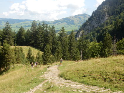 With Stefan. A work trip to a workshop in Konstanz gave a welcome opportunity for a little walk in the Swiss Alps. Stefan who knows the area planned the walk and led the way so I had the very rare for me experience of cheerfully following him with only a minimal sense of the local geography. We drove - well Stafan drove while I mostly slept - to Wasserauen - where there were lots of parked cars. Langdale on a summer bank holiday is quiet by comparison. From the car park a path led off to the left and climbed up through woods for about (I'm guesstimating not having inspected a map) 600m. THis brought us to a beautiful region of high pasture. The views from here were wonderful, looking over to the high peaks of the Alpstein, dominated by the impresive Sentis. (Climbing any of them would have called for a rather longer day than was consistent with our 9am start from Konstanz.) There was a little famhouse and a small shop here that sold only what the livestock - cows and goats - produced, cheese, butter, milk. We bought a couple of mugs of cold, very fresh milk. It was utterly delicious. 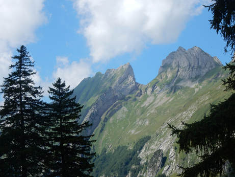 We walked for a bit through this nice pasture land before another bit of a climb. Then our path followed a sort of grassy sloping ledge that runs along halfway up a very large cliff. It was broad and easy going but a trifle airy in places. But soon enough we were at the tiny hamlet, complete with Berggasthaus, of Meglisalp, our destination. Not a summit but at 1517m. above sea level, higher than anywhere in the UK. I had some rather warm coke in my rucksack but we couldn't resist the ice-cold bottles of pop they had on sale here. Possibly a mistake. I had a big bottle of pop. Stefan had a small bottle of pop. After we had drunk them they gave us the bill. The equivalent of about £18. "Seriously?", I asked. The waitress just shrugged: "Transportation". 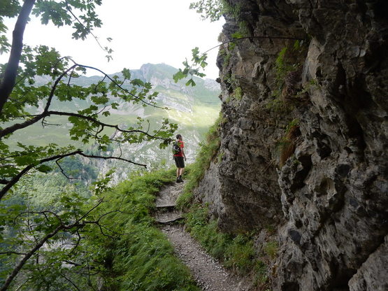 From here a path leads down a big cliff to the Seealpsee. When I say "down a cliff" I realy mean just that and much of the way is alarmingly exposed. But it was very straightforward on an extremely well made path with even a bit of metal wire for the faiont-hearted to grab hold of down the airiest sections. Once we got to the Lake the adventurous part of the walk was over and the way home lay down a tarred road very crowded both with humans and the fabulously docile cattle that are everywhere in these parts. The constant sounding of their bells furnished the main soundtrack for this lovely Alpine walk. |
|
 RSS Feed
