| Jimmy Lenman |
|
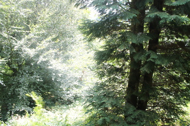
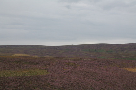
 I drove to Buxton and parked in Macclesfield Old Road, where I spent a few minute thinking how very old and tired I felt and wondering if I should just drive back to Sheffield. But I got in touch with my inner drill sergeant who yelled at me to boot up and set off up Bishop’s Lane, past Edgmoor Farm and up the steps through Beet Wood to pick up the path over the moors towards Errwood Reservoir. A little detour took in the trig point on Burbage Edge then back (gets momentarily a bit steep here) to meet the main path again by the old railway tunnel. There are signposts everywhere hereabout so rounte-finding is mainly very easy. On to reservoir and along its eastern shoreline to pick up the road by Bunsal Cob. I realized by now I had packed nothing to drink so was very pleased to find the ice cream van at the car park selling cans of pop. Just to be on the safe side, I bought an ice cream as well.  Then on over tarmac as far as Shooter’s Clough Bridge. Paths around here get a bit labyrinthine. I took the stepped woodland path that goes right from the road just before the bridge, then branched off left on a well-engineered path above Errwood Hall, through a clearing and over a bridge to meet a track where you turn left and almost at once right on a path signposted to Stakeside. Lovely views across towards Foxlow Edge opened up as I climbed to the plateau where it was a right turn and very straightforwardly on to the top of Shining Tor. Again the ubiquitous signs make everything very easy. I then took the footpath that goes from by Stake Farm over Goyt’s Moss back to Burbage, utterly glorious today with the heather in full August colours all around. On the final descent by the plantation towards Burbage a herd of cows were grazing around the path but they were placid beasts and munched away ignoring me. By now I was grateful to my inner drill sergeant.
0 Comments
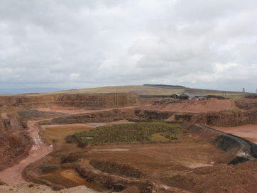 Parked in the car park at top of pass on B6478 – 719481. Quick out and back to trig point on Waddington Fell: a path goes straight up from car park and follows quarry perimeter. Countless signs warn you away from edge. Back at car park, I followed a faint, boggy path that led east to a big ladder stile in the wall near the edge of the wood. For Easington Fell you don’t cross this but again follow a faint path on left (NW) of wall leading to small cairn marking the summit. Then I followed the same wall along north side of woods towards Beacon Hill. At first this was pleasant enough. Then I met a series of transverse walls coming in from northwest. A gate in the first was accessible by descending a bit, another in the second needed no descent. The field between these gate was basically a swamp and horrible to walk/wade across. Things improved after the second gate till I reached the third wall which had a ladder stile. Beyond that it turned into jungle, where the “path” just consisted in some of the luxuriant – and often spiky – vegetation having been flattened a bit. The last wall had a gate propped against it rather than breaching it. 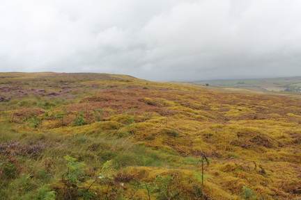 After this, the terrain greatly improved for the short trudge up to the top of Beacon Hill. Loads of walls around here but plenty gates through them. The trig point was in a field evidently recently full of cattle but none about today. Path SW from here (Shivering Ginnel on map) along forest edge easy to spot between two broken walls. Turned right onto woods at corner (749479) and followed good path, going left at 3 way cross roads. When you meet a track soon after this go right and very soon right again at another. This is the path NW through the woods and took me pleasantly back to the ladder stile I passed on way up. From here a much more substantial path a little north of the one I followed up took me back to the road five minutes walk north of the car park. I recommend my outward route from Easington Fell to Beacon Hill to nobody. The walk back through the woods is the way to do it. Flowering heather was lovely. Weather less so, more or less constant, sometimes heavy, rain. 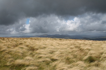 With Ulrike. Parked at Bwlch Oeddyrws in heart of bandit country. Crossed stile and short walk to fence corner. Then a fair path head up diagonally right zigzagging to ridge of Cribin Fach where there is a fence. Basic brief for this walk: follow it to Waun-oer. Follow it back. Summit of Cribin Fawr is after about a mile just before a stil over fence. 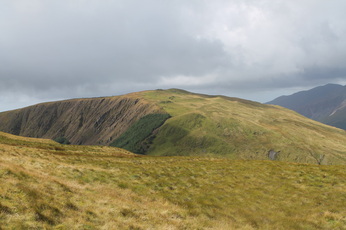 As we tried all permutations out and back, I can confidently testify that it is much better to stay on the right (NW) side of the fence for the descent (and reascent) for CF and cross to the left (SE) for ascent (and descent) of Waun-oer. The latter is not what you might suppose looking across at the slope but there is a handy path hidden among those trees that is much easier than slithering about on unacceptably steep grass. There is no stile over the fence at the bottom of the dip but, unbarbed and with a loose top wire, it is an easy steep-over. Back same route through sunshine and showers in plenty time for lunch at Red Lion in Dinas Mawddwy |
|