| Jimmy Lenman |
|
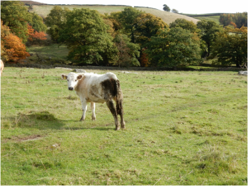
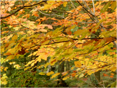
 The autumn colours were looking lovely so I picked this walk as it took me through some lovely woodland. I parked in the pay and display car park at Curbar bar. Not easy as it was full to busting today. I paid for a ticket before I realised it was free to National Trust members and I didn’t need to. Never mind. It is a good cause. It is an easy walk south from here along Baslow Edge past the Eagle Stone and Wellington’s Monument (worth the tiny detour) and down the hill to Baslow. In Baslow I turned right down Gorsebank Lane and followed it to the farm. There was a dog loose in the farmyard that barked at me but that was all it did. Another dog lying by the path didn’t even bother to do that. After the farm the track becomes a path. A sign advised me “For your own safety avoid cattle”, the one’s in the very same field, clustered round my exit point, were unavoidable but placid and untroubling. The path carries on through fields full of sheep and a couple of horses, one of whom was very curious about me and came up to inspect me. Coming into Curbar I kept straight on along the Green then took the path up the hill to where a left turn leads towards Bee Wood.  I thought the wood would be lovely and it was, awash with the reds and golds of autumn. Taking the right branch where it forks delays the unwelcome point where one has to exit onto the A625 and follow the horrid thing for a kilometre or so. The speed limit here is 30 while the road goes through Froggatt but it feels like a country road and loads of people ignore it. There is no verge, never mind footpath. With great relief I turned left just as the national speed limit came back into force and headed down into the lovely Froggatt Wood. The paths here are confusing as they branch in ways not shown on the map and I ended up emerging at the bridge over the Derwent at Grindleford half a kilometre further west than planned. From here up through Hay Wood to the Grouse Inn is the main climb of the day. After the Inn there’s more up, on the footpath straight across the road leading to White Edge where I turned south towards my starting point. It was noisy up here. There were a good few red deer about, including two stags in rut bellowing their heads off nonstop as I made my way up to the trig point. Then it was just a matter of following the path easily back down to the car park and heading for home.
0 Comments
 With Sylvia. This is a simple ascent. You park at Blaen-y-glyn upper car park and follow the Beacons Way to the top. After an initial steep pull up Craig y Fan Ddu it is delightful gentle walking on the high Beacons plateau. Today was very windy up here. When you get to the top of Blaen Caerfanell the path leaves the edge and does a little zigzag across the plateau. When this turns right there’s a circular cairn where a little shelter can be had and we stopped her for a wee rest.  Then easily on to the top of Fan Y Big. From the top we climbed steeply down to the busy crossroads at Bwlch ar y Fan. Then a long but pleasant walk back along the track. Slightly tediously the last kilometre is on tarmac and uphill but a small price to pay for a satisfying short day. Then back to the warm and cosy Usk Inn at Talybont where the lamb shank was extremely nice but the atmosphere was a little dampened by South Africa beating the Welsh at the rugby. 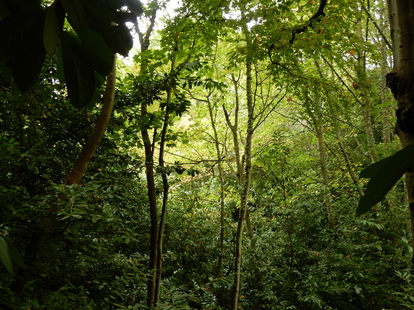 With Katie. This was a short (about 4 mile) walk from Mount Melville outside St Andrews where my mother lives with Katie, my mother’s very cute but not very well-behaved Cavalier King Charles Spaniel. The countryside round St Andrews in this direction in pretty thoroughly despoiled by golf courses and a big caravan park but this attractive path along a branch of the Kinness Burn threads a pleasant line through it sheltered by woods from all the golf to make a nice stroll. It starts from the back end of Craigtoun park which can be reached by walking straight up the Mount Melville road ignoring any turnoffs to either side. Here there is a sign to St Andrews via Craigtoun Den and Lumbo Den. You follow this through extremely pleasant woodland crossing over a minor road by Lumbo Bridge. 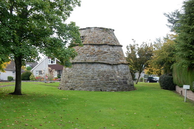 Eventually this leads to the outskirts of St Andrews where a path continues through houses past the old Bogward Doocot and an old millstone, past Lawmill Pond, skirting the edge of Cockshaugh Park, past a drinking well (“In Remembrance of John McIntosh Pioneer Planter of the Trees on the North Side of this Walk”) to emerge eventually on Bridge Street near the West Port. Coming back again I varied the route a little by turning left down Viaduct Walk and heading up the Canongate. Just after passing John Knox Road on the left, I took a path of right that led down to rejoin the outward route. 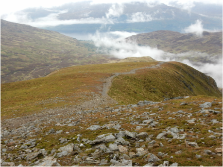 The people at Ardvorlich want walkers to use the east gate and make this very clear on their signposting. Just over the bridge from the east gate there’s space by the roadside for ten or so cars. Even on an overcast October weekday this was almost full so if it’s a sunny weekend in the summer holidays maybe arrive early to avoid disappointment. The path by the east gate avoid some cottages to the right and Ardvorlich to the left – all clearly signposted. Then you just follow it all the way to the top. It could not be more straightforward. I cannot remember a walk where I had the map out of my pocket less. It’s a lovely walk up the glen for a bit then up the north ridge (named on the 1:25,000 map as Sgiath nam Tarmachan). It gets steep towards the end but is all very straightforward. The top was just about clear of cloud when I reached it but most of the view was hidden. I was convalescent after a spot of ‘flu so I didn’t continue to Stuc a’ Chroin but came down the same way. I first climbed this hill with my father as a little boy on a scorching hot day during the famous summer heatwave of 1976. This was less memorable but an excellent use of a Friday. 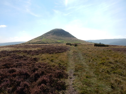 Just north of Hawnby rise a couple of small but perfectly formed twin peaks, Hawnby and Easterside Hills. Paddy Dillon’s Cicerone North York Moors describes a short walk that goes over the former and round the latter. Being a peak fetishist I had to go over both. Unless you are a customer at the Inn, parking in Hawnby is not very abundant but I found a place to squeeze in. The path signposteded northwards from the junction at the centre of Hawnby leads quite quickly to a gate leading into a field. Signposts here point you diagonally northwest towards a step stile but this is not the way up the hill. This is by a gate a little further up the field. From here a lovely path leads easily straight to the summit. From here I headed down the north ridge, which is briefly very steep, to Moor Gate. Here parking is very abundant so anyone wanting to do this walk and unable to find a space in the village could easily enough start here. 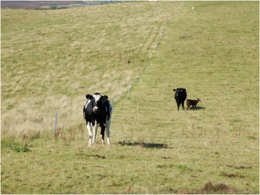 It was a lovely day but not very transquil. Somewhere hereabouts - Nova Scotia Farm perhaps – there was a dog that was pretty determined never to stop barking and it’s noise accompanied me a long way around this part of the walk. From Moor Gate I to0ok the track towards Sprtsman’s Hall. A well signposted pathbypasses the grounds here and leads down to a bridge over Ladhill Beck. From here a path, not always very clear, leads up towards Easterside Hill. I think I was a bit off to the right of the public right of way on the map and may even have unwittingly strayed off access land over Pepper Hill though there was a path that left invitingly through this way, albeit past a couple of cows that were manifestly and worryingly unhappy about how close I passed to their small calves. After I left their field, a bit relieved, the ground of Easterside Hill rises up very steeply and pathlessly and for about ten minutes it was an un pleasant struggle up through a near vertical seeming forest of ferns. Unlike heather ferns do not make good handholds. From here a clear path took me easily down to the road at Easterside Farm and then along the occasionally very steep (33%!) road back to the village. The shortness of the walk meant there was time enough left to drive up the beautiful road to Ostmotherly and take a look round the beautiful ruins of Mount Grace Priory. |
|