| Jimmy Lenman |
|
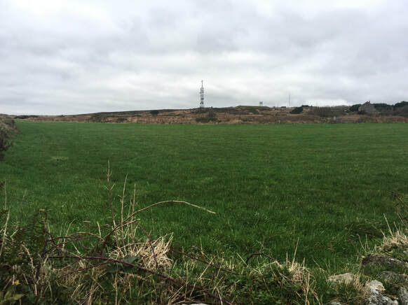
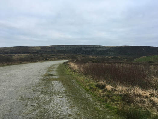
 I found - just - a small place to park by Calvadnack Farm off to the West. From here I nipped across an empty field to get myself onto access land. It isn't far to the top but it isn't much fun what with the gorse and the brambles. But nothing campared to yesterday's horrors on Watch Croft. Came down the same way, more or less, but by now was beginning to discover little sections where there was almost a path.  Then I drove east to collect my final Cornish Marilyn, Hensbarrow Downs. I thought of approaching from the north but places to park are not abundant on the B3274 between Trezaise and Stanalees. So I took the minor road out of Trezaise signposted to Greensplat and parked at its highest point about a km south. From here a path leads very easily to the trig point. I gather this was once the top of the hill. It no longer is as the landscape has been throoughly reshaped by the China clay mining that is going on all around here and there is a landscaped erstwhile slag heap to be climbed to reach the highest point. This was easily done. There is a small buildikng just beyind the trig point, a bit to the right of which a path leads eaily up a gully that reaches a short steep section after which roads tracks and easy grassy slopes lead the rest of the way.
0 Comments
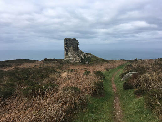 I parked in the car park by the ruined mine buildings at Carn Galver and took the path up the stream that comes in from the SW to the north of Watch Croft. I had read somewhere that there is a path branches off this that takes one to the top. And I thought I had found it, I certainly found what seemed to be the start of the path. But not really. It quickly petered out and from then on the ascent was utter hell, fighting my way through a foiest of brambles and gorse and general horribe deep, spikey vegetation. Eventially I made it to the top whichm according to hill-bagging.co.uk is a wee rocky tor about 25m SW of the trig point. At the trig point I found a path heading west towards a ruined building from where an excellent path led easily back to the road about a km west of where I was parked. If you want to climb this hill be sure you go the way I came down and at al costs avoid the way I went up. 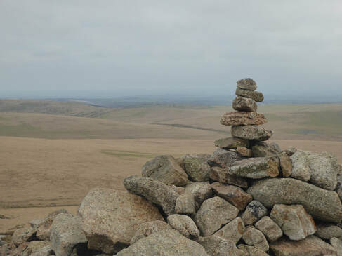 From Plyouth where I was staying I drove to the Roughtor car park via the top of Kit Hill near Callington so brown Willy would be my second Marilyn of the day. It was a nice day. It was New Year's Day. The car park was pretty full. There is a memorial here to Charlotte Dymond who was murdered here in 1844 most likkely by her boyfriend Matthew Weeks who was convicted and hung for the crime. Brown WIlly is not very far from the car park but inconveniently there us another hill, Rough Tor, in the way that must either be circumambulated or transabulated. I like the look of the latter more. A good path led me to the top with its surreal furniture of shapely tors Another took me easily down the other side and easily up to the top of Brown WIlly. There was talk oce of changing the name to something less provocative of schoolboy humour but the locals weren't having it and it stuck. Apparently it is a corruption of Bronn Wennili which means Hill of Swallows. I returned eassily over the top of Showery Tor, the lowest of the lumps comprising the Rough Tor ridge. 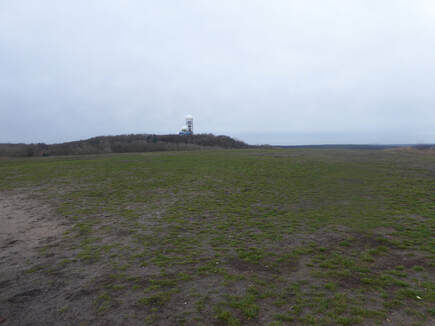 With Fumiko. I met up with Fumi at Backstube & Café vonLuck which is a pleasant little coffee shop round the corner from Grunewald station. Coffee drunk, we headed back under the station underpasss to where a track called the Neuer Scholdhornweg beads off from a car park at the edge of the woods. After a mile or two this led to another track called the Teufelseechaussee where we took a right to come to another car park. From here a track wound up to a view point on the side of the Teafelberg. The top of the Teufelsberg itself, with its old American listening station left behind from the Cold War, is not publicly accessible. It is Berlin’s highest hill, man made from the rubble of ruined West Berlin after World War II. From here we walked down to the Teufelsee. We met a very naked man off for a dip. 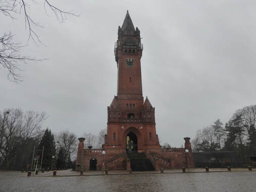 Then we headed through the woods aiming to emerge at the side of the Havel just to the north of the little peninsula of Schildhorn. There are loads of paths and tracks around here few if any of them signposted but keeping an eye on our direction we ended up in the right place. Here we turned south and followed the water’s edge until we were just below the Grunewald Tower where we climbed up the hill to have a look at it. The 55m tower was built in the last years of the nineteenth century to commemorate the 100th anniversary of the birth of Kaiser Wilhelm I. In 1916 the frail and elderly Queen Consort of Romania, Elizabeth of Wied, took two and a half hours climbing to the top, dying the following day. From the adjacent car park a track is signposted as leading back to the Teufelsee via the Pechsee. We followed it there and soon picked up the Neuer Schildhornweg back to the Café vonLuck for a quick drink before the train home. 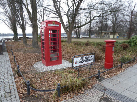 I was in Berlin and fancied a bit of a walk so I did this. Friedrichstrasse to Alt-Tegel is an easy journey by U-Bahn up the U6 line. Alt-Tegel is also the name of a street which I followed east past coffee shops and restaurants and then the pretty Village Church to reach the lakeshore and the Greenwich Promenade where a dislocated red British phone box and letter box are set up to make the visitor feel like he really is in Greenwich. Walking north along the shore a bit one comes to a bridge and, keeping on the same way, Gabrielenstrasse. Here too I kept straight on but got a bit confused over the way I would recommend instead turning right briefly at Gabrielenstrasse to pick up the path that follows the shoreline more closely. Then you will find you way easily, as I did more hesitantly, to the Waldhütte restaurant.. 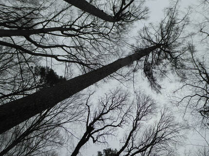 A road goes off to the right from here. And a very short way down it a track goes off to the right marked with a sign saying “Landschaftsschutzgebiet” with a picture of an owl. This is the way. It leads through the woods, passing what a sign proclaims to be the highest tree in Berlin. A bit before that some more signs tell the visitor about the extreme storm that hit hereabouts in 10th July 2002. Eventually the path emerges on the Havel See. If in doubt there are signs saying ‘Wanderweg 7’ stuck on trees here and there. On reaching the Havel See finding the way gets very easy indeed. Turn left and follow the path along the shore all the way back to the Waldhütte. At one point a little after the headland the path was closed but a quite detour – left up Scharfenbergerstrasse then right down Tegelorter Ufer brought me back onto it. At the very end the path by-passes a little peninsula with some expensive looking real estate on it |
|