| Jimmy Lenman |
|
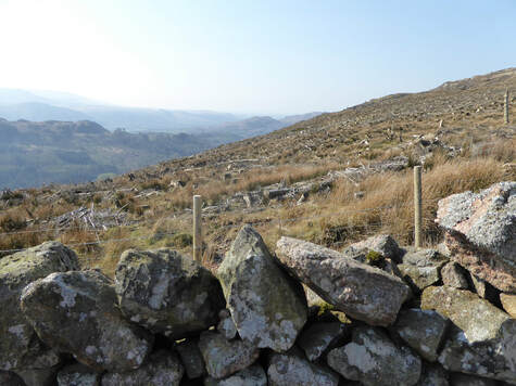
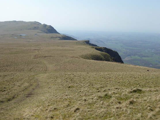
 There is a very narrow little road that climbs out of Eskdale Green past a school to end at a car park in Miterdale. This is where I began. Plan: to cross a bridge and turn left on forestry tracks that would lead me through the Miterdale Forest and onto Irton Fell. But once over the bridge and about to enter the forest I met signs. Forestry workings. No access to affected areas. See area covered red on this map. Bollocks. This was not going to work. The route I planned would quickly take me into the area coloured red on this map. If I went straight up through a field I saw I could pick up a higher track but using this would still take me through the area coloured red on this map. But I saw that if I climbed straight up even further through another field I would access a yet higher track that would open up a possible route that would avoid the area coloured red. So , Plan B, I went for this, eventually reached the higher track in question and turned right to follow it. Almost at once I met a sign. Forestry workings. No entry. Go away. I guess it is a mistake too firmly to believe the forestry people and their maps. So I had a think and I thought, OK, Plan C, if instead of turning right I turn left I will soon come to the edge of the forest and I can climb what looks to be pathless ground alongside it to read the col between Irton Fell and Whin Rigg. So that is what I did. Actually Plan C turned out pretty good. Turned out the way up alongside the forest’s edge to the NE is not pathless, a friendly wee path took me nicely up towards the col. Indeed I would recommend Plan C even for days when there is no tree felling to make problems for plans A and B.  So up I went to the top of Whin Rigg where various little nodules might be the top so I visited the couple most likely seeming to be sure. Then on, on to Illgill Head which looks on the map like it must be a delightful ridge walk and , as it turned out, is a delightful ridge walk, not least in in this glorious April sunshine. From here a path goes steeply but straightforwardly down to the spacious area of ground that is the col between Illgill Head and Scafell. It is Scafell that dominates the scene as I followed a clear path south to pass the beautiful and lovely Burnmoor Tarn on the east. Burnmoor Lodge, I thought as I approached, looked derelict but as I got closer I saw a man at work there. Someone is doing the place up. I lost the path around here and it was a bit of trudge over rough moorland to get myself ensconsed in the upper reached of Miterdale. This is turns out is a place of great solitude and beauty and it was a joy walking down it back to the car.
0 Comments
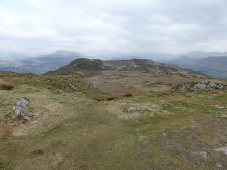 The presence of a trig point and thes testimony of Wainwright mean that everyone uposes the tgoip of Mujncaster Fell to be Hooker Crag at SD112984. Rather it is the slightly higher bummp on the ridge a bit along to the northeast at 116987. On an earlier visit in June 2017 I made just this mistake so today I strolled back up from the big car park by Muncaster Castle and corrected it. 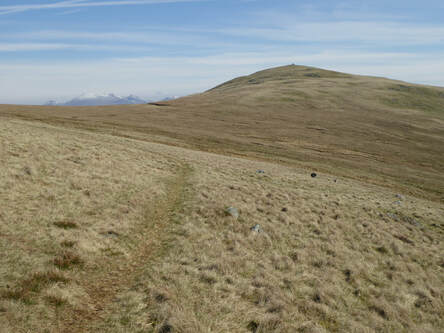 First off I climbed Whitfell. I did it from the car park at the top of the Fell Road more or less as Wainwright recommends. Up Buck Barrow. On to Whitfell bypassing Burn Moor. Then over Burn Moor and on to Kinmont Buck Barrow and so back to the start. There was a path underfoot except when crossing Kinmont Buck Barrow. All very straightforward except the moment coming down off Kinmont Buck Barrow when I went up to my thigh in walked didn’t look too bag a small patch of boggy ground.. 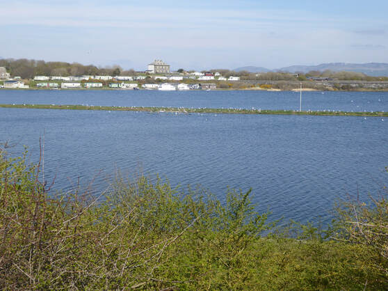 There was quite a lot of day left so I decided I would go and walk round the lagoon at Millom. I parked in Heverigg where the OS map shows a car park and a toilet. From there alonmg the shore a bit and then along the outer barrier, past the lighthouse. The was built in 1905 to protect the lead mines within it from the sea but since the mines closed the inside has flooded to make the present day lagoon. T the end of the barrier I went to visit the trig which is at the foot of an old windmill. Then a path leads round past the old lighthouse eventually coming to the big caravan park on the north of the lagoon where the way goes past the front of the Herdwick pub and then the grounds of the caravan park. Another very easy very peasant walk 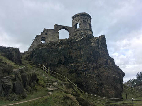 WIth Helen. Mow Cop is the name of both a small town in Cheshire and a hill on which said town is located. I gather the first word sounds like the Chinese dictator, not like what you do to your lawn. It is distinguished for its ‘castle’ which is not a castle but a folly erected in 1754 by a local bigwig and by a sticky out bit of rock called the Old Man o’Mow. There is a car park just below the castle in High Street which would appear to be named for its altitude, not its importance. We parked there then went to have look at the trig point. Well, I went to look at trig point while Helen, who has yet to understand why trig points are exciting, followed in some bafflement. The Old Man is just below this on the Gritstone Trail. After being on this very briefly we took a left to headownhill on the South Cheshire Way to the Macclesfield Canal. This took us took Scholar Green where we reached the Rising Sun pub just in time for lunch. Lunch done and back on our way, we crossed the bridge and headed back up the hill up Spring Bank. At Meadowsde Lane we turned right meaning to follow the footpath continuation of that but found it closed. So left instead down Birch Tree Lane then footpath running parallel to Station Road, then Top Station Road, then High Street again and so home. Not a very demanding walk but a very pleasant one. |
|