| Jimmy Lenman |
|
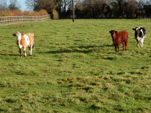
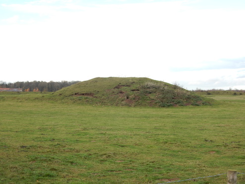
 With Carl and Jess. We started from the Black Horse in Kirklington and headed a very short distance down Winwath Lane before taking the path north passing to the right of the farm buildings of The Hall. This footpath we followed more or less north towards Carthorpe. It’s not much used. There is little signposting – it gets a little confusing for a bit north of Camp Hill but isn’t too bad – and the stiles are often in a state of some disrepair. North of Clarke’s Holdings the right of way branches and we took the right branch which leads diagonally over a field to meet a lane by some houses. Just as we neared the end of the field a couple of loose sheep digs raced out of one of the houses and ran towards us growling and barking aggressively. “Relax,” said I, “They’re just sheep dogs, they’ll not hurt us.” Then the big German shepherd appeared also loose and aggressively snarling running towards us. So we stopped relaxing and very carefully, gingerly backed off till he decided we were far enough from his territory to be left alone. We didn’t really want to advance again and reignite his wrath as we would have to continue as planned so we were not sure what to do. I was thinking maybe best to head west and pick up the other branch of the path… But then the dog’s owner appeared from inside his house and we thought his restraining influence might make it safe to proceed. We walked up the tarred public road from Carthorpe to Burneston. At Burneston there is a right of way off to the left between the pub and the school. It’s one of these slightly discomfiting ROWS that goes right through someone’s garden so we looked to see if there was a way round by following a path alongside the school leading to some playing fields. There wasn’t quite but we were able to regain the footpath in a field between two red gates by climbing over a fence. This leads to the farm at Old Hall where you want to go to the left of the pond after the buildings, then alongside a stream and over some fields to Mires Lane which leads into Snape. Again it all feels very little frequented with little signage and decaying stiles. I’d hesitate to recommend this footpath from Burneston to Snape to the cow-timorous as it is quite cow-populous. Two big fields in a row before reaching Mires Lane have signs upon entry advising one to beware of the bull. Today in the first the cattle were reassuringly far away and in the second Mr Bull was not at home but I guess it is not always thus and we already had some closer encounters with a few beasts earlier on.  We walked through Snape, past the castle and followed the tarred road south to Well. The castle was once the seat of the Latimer family one of who, John Neville, 2rd Baron Latimer was the second husband of Catherine Parr who would go on become the last of Henry VIII’s six wives. Coming into Well, tere there was a well (surprise, surprise!) so we stopped for our lunch. From here we went right up a hill to a pond and then a quick left then right had us on Phlashetts Lane heading south over the B6267 and on to West Tanfield where we took a little detour to check out Marmion Tower. The afternoon was now well underway so with the limited budget of winter light we couldn’t hang about. Northeast we went up Moor Lane past the Nosterfield Nature Reserve, then left down Green Lane and left at the end down towards Thornborough passing the big mounds that are the Thornborough henges. In Thornborough we tod the right fork in the road and then, as we approached the T junction took a field path that cuts a corner to meet the right branch. About 300 m down this road there is a footpath heading off to the right. Or at least there is a right of way which today was completely obliterated by crops. We went this way anyway, following the line of the obliterated right of way turning right at a track that leads off towards the B6267. There were a few men out hereabout with guns and dogs heading across the fields in the now starting to falter light. Left on the B6267, past the entrance to Upsland Farm then right where a well-marked paths leads over a big field, past woods and on back into Kirklington nicely timed as dusk took hold. This was another of WIlliamson's Castle Walks in Yorkshire and not unlike others combined ill-frequented country footpaths with mayby just a bit too much tarmac bashing on roads.
0 Comments
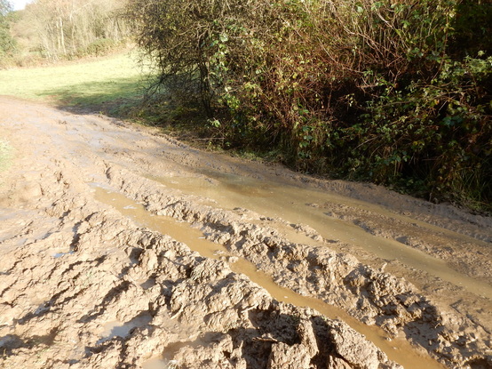 It’s a delightful short drive from Levisham to Levisham station, diagonally down a steep escarpment grazed by a big herd of Highland cows. Unfenced they often block the road and are so chilled out it is hard to get them to move . At the bottom of the hill is the station, where there is an honesty box for those who wish to park. A poster on the notice board warns of the danger of snakes. But it’s November - they’ll all be asleep by now. A path to the left of the station climbs up through woods and across a field to a track. Turning right here I was soon at a branch where I forked left to climb the rest of the hill as a glorious view opened out over Newton Dale. Then it was easy walk across a couple of fields and I was back in Levisham. The road from here to Lockton is two steep hills, down then up. (See 92 below.)I walked through the village and went half way down the down to just after the first steep hairpin. If you want to get from here to the church at the valley bottom you can do one of two things. You can turn right off the road down a track a couple of hundred metres after the bend. Or you can cut a corner by taking a footpath that leaves the road a little sooner. I did the second and as a result strongly recommend the first. The footpath is treacherous and horrible, really steep and really slippery. Towards the bottom I bowed to the inevitable and finished the descent as a sitting glissade down mud. Once safely down I kept going south past the ruined church and down Sleights Road to Farwath. This may well be the muddiest mile of walking I have ever experienced, alarmingly close to a swim. 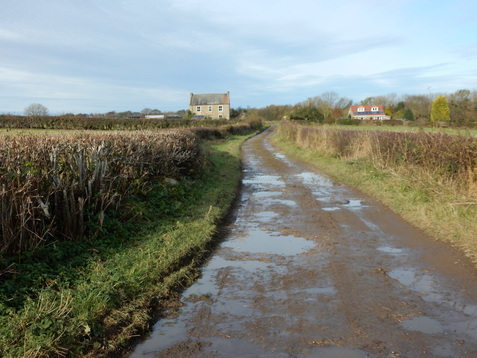 From Farwath I trudged up Farwath Road then north again up East Brow Road past Howlgate Farm and East Brow House til eventually a path on the left leads across the fields to Newton-on-Rawcliffe with its Anglican and Methodist churches facing each other on opposite sides of the road as you enter the village. I went north right through the vllage and took a track that keeps north just before the main Rawcliff Road turns left. After about half a kilometer there is a footpath signposted off right over a stile. This wasn’t terrible easy to follow underfoot. Over the stile you find yourself in a wide strip of grassy pasture along the side of the hill with woodland above and below it. The thing to do is just follow the strip of pasture round to the right till you reach a fence with a gate in it. After the gate start a diagonal descent towards the woods. It was at this point I finally spotted the authors of all the fresh cow poo I had been avoiding stepping in since crossing the stile, a big old bull with a couple of cows, happily a fair way off. He glared at me for a minute before returning to his munching. As the woods got near the path became very clear and soon I was emerging back at the station. As I left the field a sign warning folk going the other way of a bull in the field but coming the way I did you get to enjoy meeting him as a surprise. 119. Eyam-Stoney Middleton-Froggatt-Grindleford-Upper Padley-Leadmill-Eyam, 30th October, 201611/5/2016 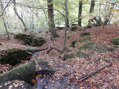 I parked in Eyam in Church Street opposite the school and set off down Lydgate. This leads to a pth that goes very pleasantly over fields, past the old boundary stone where the people of Stoney Middleton once left food and medical supplies for the plague-stricken village in exchange for vinegar-soaked money and on down into Stoney Middleton. Left here and left again up past St Martin’s Church and the old “Roman” baths – they’re not Roman at all of course but early 19th century as a nearby notice explains. After the baths a footpath heads off right across fields. I was heading for Knouchley Farm so looked out for where it branches – this was clear enough on the ground – and went left. After the farm, I crossed the road and headed down to pick up the riverside path along the Derwent north towards Froggatt. I had picked this walk because I thought the autumn colours would be showing themselves off in the woodland down here and I was right about that. I stuck on the Derwent Valley Heritage Way, enjoying them to the full, all the way to the bridge at Grindleford. From here I followed the lane that heads uphill to the right of the churchyard and so on up and into the further autumnal glories of Hay Wood. Eventually you come here to a crossing of paths To keep going would take you to the Grouse Inn. I went left signposted Station and was soon walking past the rather expensive looking homes that line Tedgness Road in Nether Padley. Just before this joins the B6521 there is are a couple of long abandoned rusting old cars, a 2CV and a beetle, sitting by the roadside.  Over the road and over a bridge and there I was at Grindleford Station. It was lunchtime so I went into the busy café for a cup of tea and some sausages and beans. From here I followed the road round to the right of the station then left. Just after the National Park Volunteers’ Centre at Brunt’s Barn, there is a path off left that takes you back over the railway and then gently down over fields to the riverside where a path eventually brings you out on the B6001 south of Hathersage by Leadmill Bridge. At this point, if you still live in the Stone Age and use mays like me, you will find that, rather inconveniently, you have strayed a few millimetres off OS Explorer 24 and onto the very edge of OS Explorer 1. So I’d memorized the direction: left over the bridge and take the second road on the right. Which I did and was soon back on OL24 climbing steeply uphill towards Hazelford Hall. Here the road does a huge hairpin but a right of way leading steeply up a field cut the corner and I gratefully took advantage despite the presence of a small gang of cows who stared unfreindlily as I passed. At Leam I took the long path over Eyam Moor. Up to around here I was walking in rather beautiful weather but here as I gained height it close in and I was surrounded by mist as I crossed the Moor then headed down Edge Road, past Mompesson’s Well and down the muddy path through the woods back to the village. Here all the tea shops seem to close at four which was a little heart-rending as I would have loved a brew and it was just a little too late. |
|