
| Jimmy Lenman |
|
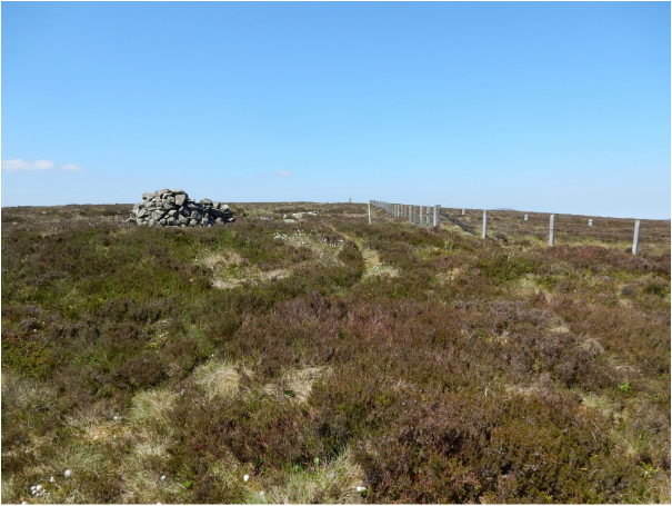
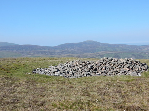
 These pleasant grassy hills are guarded to the south by the big plantation of Kidland Forest. According to my old Nuttalls’ guide to the 2000 footers you can drive two mile north up the unsurfaced forestry track from Clennel Hall right to the forest’s edge. You could once. But now you quickly meet a sign: Private Road: No unauthorised vehicle access. Adding four miles to the walk means, the Nuttalls’ suggestion to incorporate Windy Gyle into a circuit of Cushat Law and Bloodybush Edge becomes a daunting prospect. Having climbed Windy Gyle on its own quite recently (see 89) I thought I’d settled for just Cushat Law and Bloodybush Edge but take in the easily included trig pint on Wether Cairn. After trudging up the track to the weeds there is soon a clear trackbranches off right that leads up along the edge of the woods below Ravens Crag. The track marked on the map turns off into the woods about half way up but there is a path on the ground keeps following the edge of the wood and carries on past it to the top of Wether Hill. It was hard work getting here on a really hot sultry June day. I had a long lie down by the trig point. I may even have had a little sleep.  From here it’s a straightforward walk on a decent little path over Cushat Law to Bloodybush Edge but hard work in this heat, without the faintest breeze to cool me down a little. From the top of Bloodybush Edge I headed south, tough going on no path, to the edge of the fiorest where the map show a right of way working its way through the woods, roughly east then south. Things got confusing here. The right of way is in places obliterated by trees and tree-feeling activity but I went more or less where it was supposed to go with a view to picking up one of the forestry tracks marked on the map. I did found a forestry track but suspect it was not one marked on the map as none of them seemed consistent with the course it took me. Eventually however it did take me back to the original point where I had enter the forest and so back down the track to where I was parked near the Hall. All these forestry tracks are a bore. If I do these hills again I’ll try them from Linhope to the north.
0 Comments
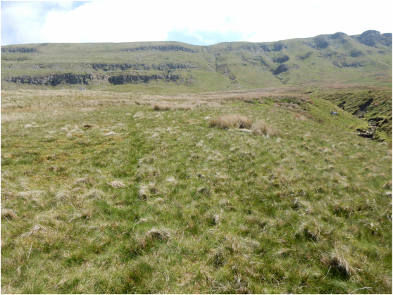
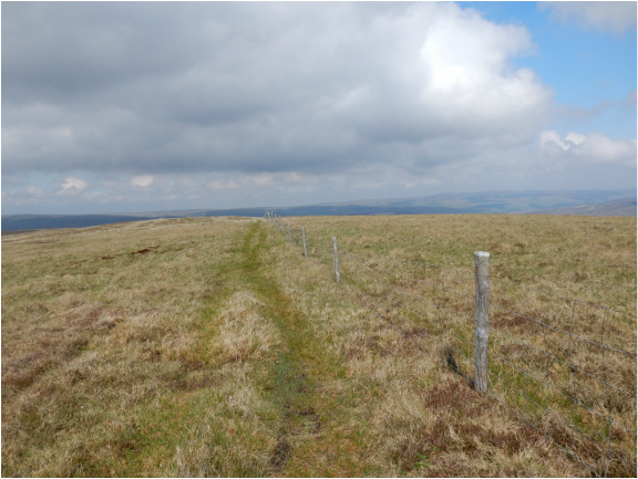
 Looking at a map, High Seat looks easily enough climbed from Birkdale to the east but the Nuttalls’ book recommends coming at them from Outhgill to their west where they are guarded by the long, steep escarpment of Mallerstang Edge. I parked in the village centre on a triangle of grass close to the strange object known as the Jew Stone. This is a replica of a post, long since destroyed, set by local eccentric William Henry Mounsey (1808 - 1877) (nicknamed the Jew of Carlisle although not in fact Jewish) on nearby Black Fell Moss, covered in Latin and Greek inscriptions. If you keep going up the road there is a faint path from the top of it towards the hills. You can tell you’re on course soon after you leave the village if you pass by an odd step stile standing all along, to help you over a fence which may once have been here but no longer is. In good visibility look out for a large cairn visible on the skyline at the top of Mallerstang Edge. Leading up to this is a weakness is the escarpment where it can be breached by a short fight up extremely steep grass. From the cairn it’s another half kilometer or so to the summit of high seat but at a far more forgiving gradient. I say top, but there are lots of tops and anyone’s guess which is the highest. I dutifully visited all of them.  Now it’s an easy walk south to Archy Styrigg which also has more than one candidate for possible tophood. From here a path continues past a prominent stone tower to a cairn on the ridge of Hugh Seat from where a fence leads to the top. Nearby is Lady’s Pillar, a pile of stones erected in 1664 by the formidable Lady Anne Clifford to commemorate Sir Hugh de Morville of Mallerstang, one of the knights who murdered Thomas Beckett, after whom the hill is also named. From here the descent to Hell Gill Beck is pathless and a bit tedious. The Nuttalls recommend steering by a conspicuous stone man. On reaching the beck they recommend crossing it and following its right back downstream to Hell Gill Bridge. This I did though the pathless right bank is now covered in newly planted saplings and may not be so easy to follow when they are full grown. A bit before the bridge I met a little wood and followed its edge round to the right to pick up the Old Road that leads easily back to the B6259 which I followed back to where I had started. |
|