| Jimmy Lenman |
|
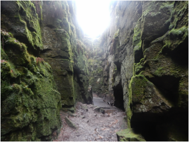
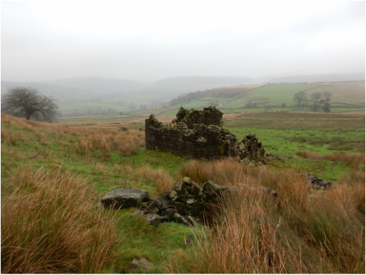
 This was a dry-ish day after a sopping wet Christmas where news bulletins had been taken over by horror stories about floods all over Lancashire and North and West Yorkshire. At least it wasn't raining, though the ground underfoot was far from dry. Starting from the car park at Gradback, I walked west up the road to where a turn off right is bloked by a big barrier with a "no entry" sign. Despite its unwelcoming appearance, this is the approach to the youth hostel where the right of way down the Dean Valley goes. From the youth hostel you keep to the south bank of the river to a point where the main track swings sharply round left and heads back east uphill. Here you leave it to continue west, crossing a footbridge and following signs to Lud's Church and Swythamley. I climbed up through the woods here to where a big rock formation onj the right marks the left turn-off to Lud's Church, a small detour in this walk. I paid a quick visit to Lud who was especially wet and slimy today. Reputedly, before the Reformation, this was once a meeting place for religious dissenters and to that extent a church for real. Lud duly visited, I regained the Swythamley path and followed it west to where it meets the path along the Back Forest ridge. That ridge was the next stage of my walk so up and along it I went with wonderful views over eastern Cheshire taking in Shutlingsloe, Cloud, Gun and of course the Roaches. At Roach End I left the ridge and headed down the track leading to Lower Roach End Farm which is now a school. I must have met 50 or so people since leaving the car park up to this, roughly halfway, point.  For the rest of my walk I met nobody. It is easy in the Peak District to get away from the crowds most of whom stick religiously to the same few paths.The path from the farm/school leads delightlfully downhill and crosses the Black Brook at a bridge where those who may be mounted are politely advised to dismount. Soon afterwards there is a three way forking. A track goes off left towards Moss End Farm, another carries on following the river towards Goldsitch House. I wanted the path one between these heading up onto Godlsitch Moss. I say "path" but it is all pretty vestigial and I just followed the borken wall then fence over boggy ground where it was supposed to be. I wanted the left turn that heads off north from halfway to the next road but missed it, arriving at the road soooner than I expected and had to double back a short way. There's no signage for the path north but I just swung left just before the river that splits the moor hereabouts. Still no sign of any path on the ground but I followed where it was supposed to be and ended up where it was supposed to end up, at a 356m. spot height where the road turns sharply northwards. Here I followed the road north for half a kilometer and then turned down the access road for Sniddles Head Farm. For the right of way here you cross a stile about halfway down the access track and then look optimistically for a path heading roughly NW. Again everything is very vestigial, I'm guessing not many people come this way. but following on the map where the path at least should go, I ended up joining the dots supplied by a series of three ruined buildings. A small herd of Belted Galloway cows grazed close by the last of these, ignoring me. From this last ruin, there is an access track still apparent which I followed down to Greensitch Farm. Here access gets tricky. The signage suggests they are keen to keep walkers away from the farm grounds by dovertinging them downhill a bit over a small footbridge and on down to the car park. But I wasn't going to cross this bridge today. The waterlogged wooden slats that constituted its walking surface were fabulously slipperly, the handrails on each side uselessly decayed. So I boldly strayed through the farm as quickly and discretely as I could. Someone waved and shouted at me but by then I was on my way off the premises so waved hopefully back and pressed on. No one shot me and released a huge dog to eat me. A short steep path from here leads straight back to the car park coimpleting a saitisfying short walk.
0 Comments
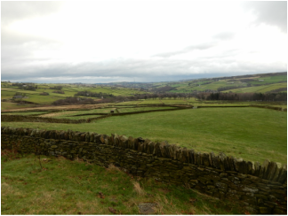 With Carl and Jess. It seemed not a bad morning driving up the M1 but by the time I got to Holmfirth it was looking pretty miserable. From Holme to the Digley Reservoir was a pleasant walk across pasture with good views down the Holme valley. It can be cow-populous hereabouts but not on this midwinter's day. We carried on still very pleasantly along he Kirklees Way past Goodbent Lodge. 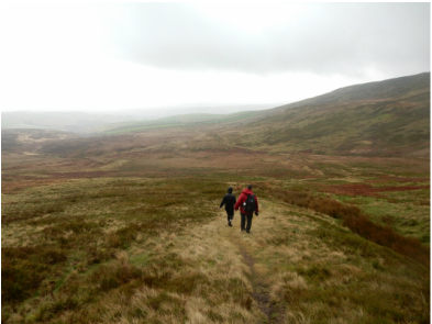 You can take a long way round here to connect with the Pennine Way by Wessenden Head but it made more sense to dead left down the path hat branches off soon after Goodbent Lodge, contouring round the hillside to join the west end of Issues Road. Just as the latter starts to line up in front of you coming round the last corner a post marks a good path heading west then northwest to join the Pennine Way a rather bleak mile short of the top of Black Hill. At one point I had nursed thoughts of following the watershed round and coming down Ramsden Clough but the rain and very string wind made it pretty unpleasant up here so we simply retraced out steps down to Issues Road which we followed easily back down to Holme where the Fleece cooked us up a nice bar lunch. 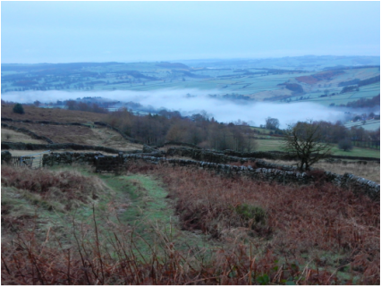 This was my first walk in ages and much needed. I had spent the previous weekend on what was meant to be a walking trip to the east Cumbrian fells but it was a washout thanks to Hurricane Desmond and I was keen to put my legs back in proper use. I started myself off with a coffee and half English breakfast in Palmer’s café in Calver which, I am sorry to say, was quite simply horrible. Then I drove up the hill to park in the car park at the top of Curbar Gap before heading off on the busy path that rus along Curbar Edge in a lightish drizzle that would basically last all day. It was an easy pleasant walk along the tops of Curbar and Froggatt Edges with the valleys below full of mist and the neighbouring hills, most conspicuously Sir William Hill and Higger Tor, shrouded in but not hidden by the stuff. After two or three miles the path hits the A625 but there is another across the road down through trees to cross a stream then gently up across fields that got me to the Grouse Inn without having to use the road. A couple of hundred yards up this and a national trust sign signals the start of a good path over more fields then moorland to White Lodge. (There is a path cuts diagonally across this about 2/3 of the way to the Lodge shown on the map but I could see not sign of it and just carried on to the Lodge.) 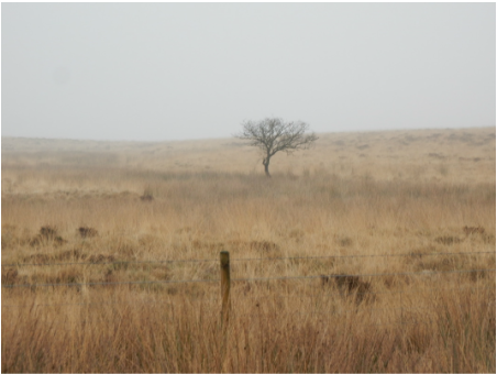 From here another nice path goes up to a gate visible on the hillslope to the right and on across the agreeably bleak Big Moor past the little stone pillar that is Lady’s Cross to Barbrook Bridge. According to Ian Grant there is a path a bit short of the B6054 running SE parallel to it allowing it to be avoided. Well it felt like it might almost once have been a path of sorts on the line I followed but a little half-heartedly so and in places it was decidedly boggy but it wasn’t far to pick up the good track that heads south from the road to the of reservoir. I followed this down past the almost empty disused reservoir and its slightly creepy old work building. Thence it is very pleasant walking down the Bar Brook valley and over moor to meet the A621. Compared to the busy paths along Curbar Edge and White Edge this track down past the reservoir is always pretty ill frequented partly perhaps because of the difficulty of including it in a circular walk from Curbar Gap without a tedious road walk at the end. Grant’s book recommends a detour by Ramsley Reservoir then back right down the nearby minor road to avoid this unappealing prospect and no doubt really only for that reason as it’s not the loveliest of places. There is still a bit of A621 to be walked even after that but it’s fine, there’s a decent verge that keeps you safely away from the traffic. At the crossroads one could head straight back up the road to the Gap but again I took Grant’s advice and detoured round by the track that goes off left past the Wellingon Monument. A big gang of Highland cows hangs out on these moors and today they were assembled right by the path where you turn right back to the Gap by the Eaglestone but these lovely beasts are placid enough and took no interest in my passing. |
|