| Jimmy Lenman |
|
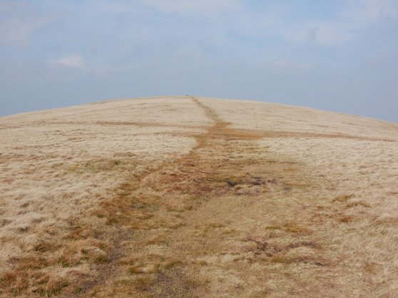
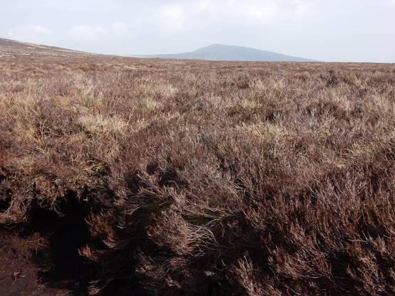
 Walk 131 had left me with some unfinished business back o’ Skiddaw so it was time to see to Knott. On a nice Sunday like today without a very early start I didn’t fancy my chances with the limited parking at Orthwaite so I drove to Fell Side instead. From here I headed up Brae Fell. Fording Dale Beck was a little tricky in very dry conditions and I’m guessing might be very tricky after a bit of rain. It was a longish trudge to the top of Brae Fell but then very easy going over Little Sca Fell, Great Sca (like Brae Fell, Wainwrights but not Nuttalls) Fell, Knott.  Around this time the weather started to turn though it never set in to rain. From Knott Skiddaw was shrouded in cloud and, by the time I got to High Pike, so was Knott itself. From Knott to High Pike is something of a trudge over rough, mostly pathless terrain. I didn’t bother about Great Lingy Hill or Hare Stones, very undistinguished Nuttalls (but not Wainwrights) I had grabbed on an earlier visit (86). Instead I trudged vaguely west until I caught sight of Lingy Hut where I knew I would find a good track taking me up High Pike. Which I did and easily and pleasantly down the other side to where I had begun.
0 Comments
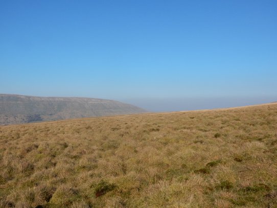 I hadn’t thought to get away this weekend but the weather just looked too glorious to miss out on. So at the last minute I found a cheap B&B in Kirkby Stephen and set off north. By the time I got there, checked in, it was well into the afternoon so I wanted something that wouldn’t take too long. This little Marilyn looked just the thing. There is a big car park high up on the A684 above Sedbergh, with a horrifically potholed surface and a big noticeboard celebrating the geologist Adam Sedgwick, where there is usually a camper van or two parked up and one or two people with cameras stopping to photograph the striking view of the Howgill Fells on display. I took it from here and trudged up and down in the same glorious weather that had tempted me out. It was a dry day and there had been a dry spell but still it was decidedly boggy in places and is likely unpleasantly so in wetter conditions. 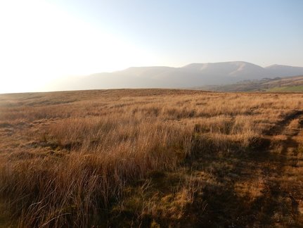 Aye Gill Pike is crosscrossed by many sturdy walls and fences – most typically walls supplemented with fences – that would be awkward to climb. So it is a matter of finding a way up through them that makes any necessary crossings at points where there are stiles. If coming from the A684 car park as I did, here are instructions to do so. Turn left out of the car park and follow the A684 a short distance east till you reach a cattle grid. Just before the grid a path heads off to the right signposted “Lunds 1¾” (Lunds is a place in Dent Dale. You’re not going there. Though the sighnpost suggests you could just as well start there.) On your left there is a wall. Keep it that way. Don’t cross it, just follow it steadily, with a sometimes rather faint, often boggy path underfoot. It leads up onto the ridge and past the top of a conspicuous strip of woodland. Soon after passing the woods you come to a point where two walls converge blocking your way. But there is a stile. Cross it. Now there is a wall on your right. Keep it that way and follow the ridge. You will twice find your way blocked as the wall on your right radiates branch lines but both times a stile solves the problem. Finally you find yourself on the top but with the wall between you and the trig point but again a stile just where you need it. I came down exactly by the ascent route described based on observations on the way up. Without benefit of those observations, I ascended almost by it but not quite and tore my trousers on some barbed wire. I got down early evening and went off to feast on lasagne and chips at Tebay Services. 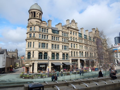 A walk in a town for a change, I thought. So I jumped on a train to Piccadilly. Down Piccadilly I went. Then left down Portland Street. Then right along Oxford Street, past the Albert Memorial where there was a demo going on about green belt protection, past what was once Free Trade Hall in what was once St Peter’s Fields, now a swanky hotel in heavily built up central Manchester. Right up Deansgate, past the Rylands Library to the Corn Exchange – now lots of restaurants and stuff – and the Cathedral. Then Chapel Street and Blackfrairs Road took me to Broughton Bridge. Left along Lower Broughton Road. Right down Frederick Road and across the river again. Down its banks on Salford Way then right on Great Cheetham Street and back over river on Cromwell Bridge to resume march down Lower Broughton Road. When this met the A56, or Bury New Road,. I turned left and followed it to Park Lane where I turned right, then left down Singleton Road. I had a wee look at Kersal Moor, then carried on down Kersal Road till I swung right down Hilton Lane. After crossing the A56 this turns into Scholes Lane which took me to Heaton Park where I make my way to the temple behind the house, that being the highest point in the city of Manchester. From the Bury Old Road a 135 bus took me back to Piccadilly and my train ride home which was shared with drunken football fans but mercifully short. 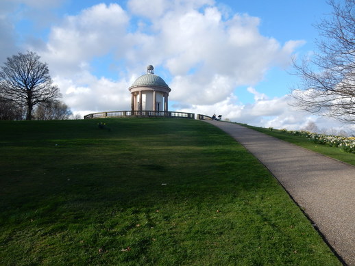 It all went more or less to plan. But it was a mistake, with hidsight trying to do an urban walk with the OS Explorer map that doesn't show street names. I really needed an A-Z. I hadn't really planned to detour so far off to the west down Kersal Road but got a little confused in Higher Broughton. Here the Ordnance Survey helpfully identify one building as a synagogue so I kept my eyes open for it plannikng to use it as a landmark to find my way. What they didn't tell me and I didn't know at the time was that there are in fact several synagogues round here. I passed loads of Jewish folk in their Saturday best that should have made it really clear to me that this was a very Jewish part of town. In any case, I went and navigated by the wrong synagogue. As one does. 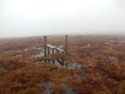 The track starts halfway between Orthwaite and Horsemore Hills. Halfway between Orthwaite and the start of the track is a space where there is room to park. It is not a very big space. On a nice day you would have to get here early as three cars would pretty well fill it. It was not a nice day. It was raining. It was windy. Everything was in cloud. It was, to be fair, nicer than the last time I was here (see 90 below) but that is damning with extremely faint praise. I set off down the track, planning to visit the two Calvas and carry on to Knott. I didn’t. The summit of Great Calva was very miserable indeed. Getting back to the col between here and Knott, I thought, maybe not Knott. So back down Hause Gill I went. |
|