| Jimmy Lenman |
|
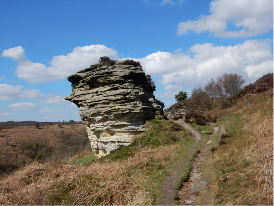
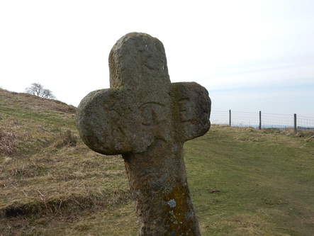
 From Lockton I followed the road east to the A69. Here right of way crosses a field and goes into some woods where it becomes a proper path down through the woods into Staindale. The woods were lovely, with lesser celandine ubiquitously in flower. At Staindale Lodge there’s no right of way straight past the house so things get a bit fiddly and roundabout. It’s all very clearly signposted: you have to climb to the right up a grassy hillside to the access road, turn right on this then left onto a minor road over a stile at the gates. Just as this road is about to emerge from some woods you turn left again back down another slope to end up in the front yard of the Lodge about 20ft from where you commenced this little detour. It’s quite a lot of exercise for a very short distance. Next comes a lovely walk up Stain Dale, through more woodlands then pastures, some of them unoccupied today, others occupied by sheep and their new lambs. Just path Low Staindale there is a ford and a footpath heads left up Dovedale toward the Bride Stones. This is a popular spot of a sunny spring Sunday. Of the people I met today I guess I must have encountered about 99% in the next mile. It’s a pleasant climb up Needle Point to the stones. These are less spectacular than Brimham Rocks, say, but still great fun. (There are more Bride Stones in the hills near Hebden Bridge. I’m not sure why the people of Yorkshire decided weirdly shaped pieces of rock should be associated with matrimony.) Most of the rocks today were serving as playgrounds for children taking what I’d guess were their first tentative steps into the grand art of climbing on rock. On the most spectacular of them, the famous Pepperpot, a couple of rather more expert and experienced young climbers were bouldering out the daunting overhang.  Leaving all this activity behind I headed off across the moor to pick up the track that skirts the forest edge towards Newgate Foot. The path that branches off to Newgate Foot is, according to Paddy Dillon’s guidebook, easily missed, He’s not lying. But the path branches off left across the fields at the same spot with a stile over the fence so the best plan is to look out for that stile and when you reach it ferret in the undergrowth for the path towards the farm. This is steep and rather muddy but not very long. Past the farm a couple of stiles and a gate lead into what Dillon, with some precision, describes as a “squelchy field”. More, somewhat less squelchy fields follow as you walk easily north alongside the forest to Malo Cross. From here I turned westwards and followed a good path up onto the top of Saltergate Brow, a high green place with wide views over Lockton High Moor. After about a mile the path leads through a narrow band of trees after which you take a right and walk steeply down through woodlands to get to the A69 at the bottom of the steep hill south of the derelict Saltergate Inn. I walked up this on the road which wasn’t fun but wasn’t far. Towards the top there is only any kind of verge on the left side (facing up) but going that way means you have to cross the road just on the corner where it is most dangerous to get, with considerable relief, onto the Levisham Moor track. Last time I came this way (see walk 15) I took the slightly longer way to Levisham along Levisham Bottoms by Skelton Tower, Today I took the more direct higher path across the moor past Seavy Pond and Dundale Pond. Having tried them both the former way has more to recommend it, the moor being relatively monotonous. But on a good path I was soon in Levisham. Good news: Lockton from here is just about a mile down the road. Bad news: it’s a mile that involves a very big, steep windy descent to Levisham Mill Farm on the valley floor and another big steep, windy descent back up to Lockton: a path on the right offers a shortcut that irons out a big bend but is even steeper; a somewhat punishing way to end the walk, maybe be better to start it in Levisham and get this bit over at the start.
0 Comments
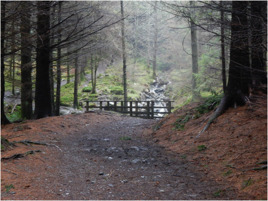 I was staying at the Middle Ruddles in Braithwaite and thought it would be nice to rest the car and do a walk that started from the doorstep. That would be Grisedale Pike then. To start with Hobcarton End I wanted to be up nearer the top of the Whinlatter Pass. Trudging up the road would have been very tedious. Instead I took the lower, quieter, shorter road to the pretty little village of Thornthwaite. A woman who lives here in the Middle Ruddings bar the following evening would tell me it’s mostly holiday homes now, leaving her in midwinter with the place almost to herself. From here a really lovely footpath runs through woods a little north of Comb Beck to the Forestry Visitor Centre. Here they do coffee and rather nice cake. So of course I stopped and had some. 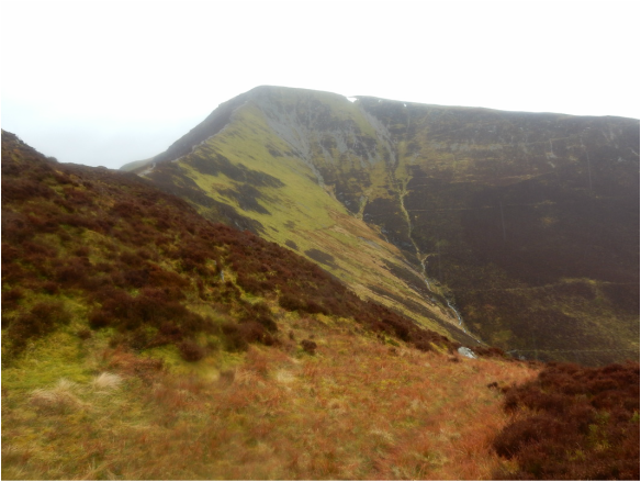 Then I walked a short way downhill to Comb Bridge, where a track leads into the forest. The idea is to head down this to a junction labelled number 41, go right here for a short distance then left up a very muddy track then left at the top of this. This didn’t lead right to the crest of the ridge but brought me out of the woods close enough to gain it easily. From here there’s a good path on the ground the whole way. And a very lovely way it is over Hobcarton End and on to the top of Grisedale Pike, then out and back to Hobcarton Crags before heading straight back down to Braithwaite on the splendid northeast ridge. It was pretty overcast and drizzled persistently all day but that counts as lovely weather compared to what yesterday had to offer. 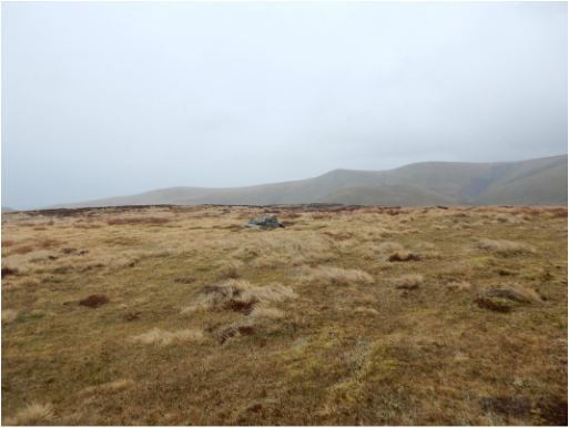 Between Orthwaite and Horsemoor Hills there is a track branches off the minor road. There are not many options for parking round here but there was no competition today so I found one and set off. I went up more or less as Wainwright suggests, branching off left onto the higher path then turning left near its highest point and heading north for the ridge of Great Cockup which can be followed to the top. Though not apparent either from Wainwright on the map this can be done with a path on the ground the whole way. I had planned a longer walk, on to Meal Fell, Knott, perhaps the Calvas. But the weather was simply vile, horizontal sleet blown along by violent storm force winds. Under the circumstances this tiny hill was enough for me. I came back the same way. (There is a distinctive bit of rock just where the path up the side comes up to the ridge which is worth noting, being very handy for relocating it in descent.) 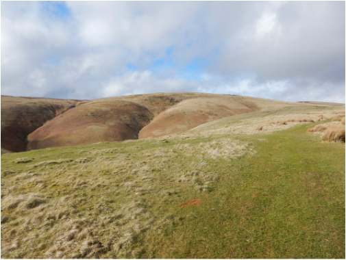 When a track leads off from Coquetdale following the Rowhope Burn towards Rowhope Farm there is parking space for a few cars. A forbidding sign at the foot of the track says: Ministry of Defence Private Road No unauthorised Access. Relax, it’s a right of way. That sign is only for cars; the rest of us are authorized. It’s a very pleasant walk from here onto Windy Gyle, past Rowhope Farm and Trows (the latter looks pretty derelict) and up over Trows law to the summit where I met the Pennine Way. 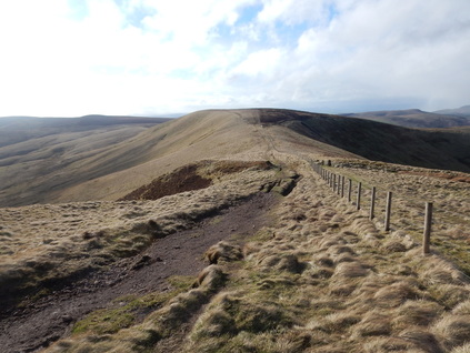 It was beautiful and sunny up here, but very windy and I had a sense the weather might suddenly get worse at any time. I got lucky. It didn’t. I followed the Pennine Way west along the border ridge in very strong winds. At one point a strange object like a big silver fairy was stuck in the ground alongside the fence. According to the Nuttalls these things have some significance to the MOD people. After about a mile I turned left onto The Street a beautiful path leading easily along the flanks of Swineside Law and Hindside Lowe back to my starting point. 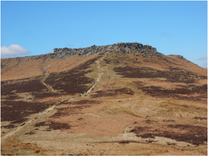 With Martin and Tommy. This was Tommy’s (age 7) first hillwalk, an easy classic circuit very near Sheffield. The weather gods were kind and gave us glorious spring sunshine. We parked at the bog National Trust carpark at Longshaw Lodge. From here a path lead over the B6521 and avoids the busy A6187 by leading through woods alongside it as far as Burbage Bridge leaving only a very short section on the road to reach the start of the path up Carl Wark that starts at the Toad’s Mouth, named for a prominent bit of rock suggestive of precisely that. From here the way is very easy to find, straight up on a good path to the old fort on Carl Wark where we idled for a little in theb sunshine then on, steeply but straightforwardly to Higger Tor where we idled a little more. There is a big tor on top which makes a natural arch and you can see daylight through it from a long way off. From then it’s a very easy descent to Upper Burbage Bridge which today was very busy indeed. This is never really a walk for lovers of solitude. Homewards from here along Burbage Rocks can be done two ways as one path follows the top, another the base of the crags. We went the top way and were soon enough back at the car park ready for a spot of late lunch at the Fox House. |
|