| Jimmy Lenman |
|
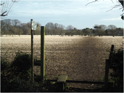
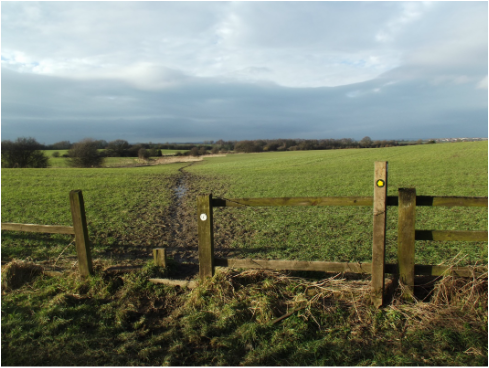
 Chapter 2 of Williamson's Castle Walks in Yorkshire is a nicer walk than chapter 1 and at 18 miles is a pretty significant piece of exercise. I started from the Three Tuns in Stainton, went a short way down Limekiln Lane then took the footpath left that heads, pleasantly enough (though someone not far away was shooting things which always makes me a little nervous) over fields, across Denaby Wife Bridge, and into Tickhill. The reason Tickhill is in Williamson is so we can visit Tickhill Castle. But we can't really, only peer at it from a famyard, as the whole things is sealed up and locked and plastered with signage saying Private and Keep Out and Danger, which is all very sad indeed. From here I headed up past the church onto Wilsic Road and north on this till it becomes Wilsic Lane which I followed a good distance till it met the B6094. Wilsic Lane is tarmac but made for rather pleasant walking, The countryside is pretty and the road very quiet with bicycles making up most of the traffic. (It would be a good cycling road.) I bypassed Wadworth by Green Lane but took the path right over the fields, then left on the road by the Hall and avoided a chunk of it by using the path through Gospel Well Wood. Now Wood House Lane skirts the edge of the woods quite pleasantly till a forestry track heads right into them towards the M18. This track was not pleasant at all, basically a sea of oozing slippery mud, and I was ot at all sorry to reach the bridge under the motorway (not a beautiful spot.) A track through more woods - not quite so horrible now - leads to Wood Lane which is followed, again rather pleasantly, to Old Edlington. Here a shortcut past the church and across a big field connects the B6376 to the B6094. There is, according to a sign on the gate, a bull in this field. On this January day there were no cattle to be seen but perhaps when there are the cow-timorous might prefer to pass on the shortcut. From here I headed up the B6094 to Conisbrough. Just right of the main crossroad with the A630 I found some welcome lunch in a fish and chip shop called Kenny's. The chips were quite good. The fish was really good.  Fortified I headed up the hill to visit the castle. Not very thoroughly as the mileage left to cover ruled out staying long enough to justify paying English Heritage's entrance fee. From here I made my way back to the A630 and then left down Kearsley Lane. From this point to Micklebring was the best part of the walk, covering some lovely unfrequented countryside. I soon left Kearsley Lane to take a footpath on the right leading to Parks Farm Cottages. Here the path crosses a road but emphatic signage inform walkers this road is private and the only permissible way to continue is straight on across the field. Which is the way I went. This took me through a field containing a couple of rather jittery horses that followed me very closely most of the way through. Fortunately I am not very horse-timorous. After a stile at the end of this I found myself in a huge field of crops where nothing at all marked the line taken by the public footpath. It was easy enough to tell from the map where it should be, on a dead straight line between Parks Farm Cottages and Conisbrough Lodge, both of which were clearly visible. So I went where the path should have been and followed it to Park Lane which took me south through Conisbrigh Lodge, a sad, dilapidated ruin. Soon after this another path, this one visible, heads left over fields towards the motorway with nice views of Beacon Hill. The bridge under the motorway took me into Micklebring. The mile from here down Micklebrig Lane to Braithwell is the nastiest bit of the walk. The road is busy, the traffic is fast and there is nowhere to walk except ion the carriageway. From Braithwell the main road is avoided by a fiddly dogleg down Austwood Lane and Top Track to Lambecote Grange. From here a weary trudge down Stainton Lane brought me back to the three Tuns. An interesting day's exploring of the wilds of South Yorkshire between Doncaster and Maltby. Bewaring of the dog seems to be an activity the local inhabitants are particularly keen to encourage in their fellows, especially the more opulently housed among them. I think I have never seen so much signage threatening all those who venture beyond it with canine ferocity.
0 Comments
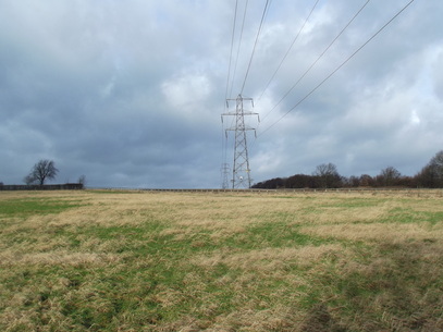 A Christmas present to myself was Castle Walks in Yorkshire by Peter Williamson picked up at Brierlow Bar bookshop for almost nothing. So I thought I'd give chapter one a shot. There's a detailed description in the book. A brief one is as follows. Park at Newmillerdam car park. Walk down dam and through woods then across fields passing Chevet Grange, over Chevet Lane and past Briery Court. (There was a man wioth a gun and two gigantic dogs over the other side of my field around here but he didn't shoot me and they didn't eat me.) Over railway bridge then pick up Trans-Pennine Trail into Walton where path emeregs on School Lane. Down this, out onto Oakenshaw Lane, right then a signposted shortcut between houses and across fields puts you on Walton Lane heading into Sandal. (Collectors of trig points will want to skip the shortcut.) Straight on down Castle Road then right down Manygates Lane passing the site of the Battle of Wakefield. Left on main road and follow it as far as the Hepworth Gallery. Here go left down Thornes Lane. (At this point, if you are me, you may be thinking, Rather more of this walk involves pounding urban pavement than is quite to my taste.) 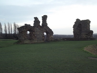 When you get to Thornes Park make a wee detour to visit Wakefield Motte. Then head down the A636 till you get to the bridge over the Calder. Here take a path on the right and follow it to the big Lake in the middle of Pugney's Country Park. Walk almost all the way round this anti-clockwise then take a path on the right and head over fields to the castle. (Here I thkink I left the lakeside path too early. I headed right by a letterbox where there is a sign saying, promisingly enough, 'Path to Sandal Castle'. At which point any relation between where I was finding myself going and what Williamson's book said vanished. Looking on Google Earth later I think Williamson's way is to take another right path a bit further on which looks like it avoids a bit of a detour to find a bridge over Pugney's Drain.) From the castle take a path downhill to Castle Farm. Left here then right and down the A61 to Newmillerdam. The walk had lots of historical curiosities to interest me but rather too much tarmac for my liking.
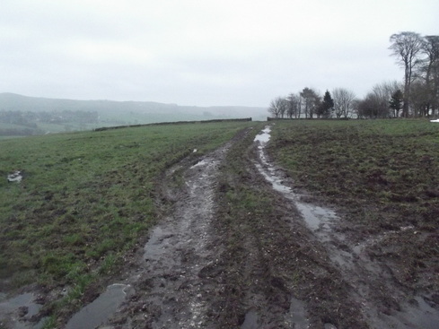 From Ludburn we crossed cowy fields to Bridge End then NW past The Ferns to School Clough. A brief spell on tarmac round the corner at Fawfieldhead then we headed very muddily northeast to Heath House over big fields that armies of cows, presently evacuated for the cold weather, had mightily churned up. From there a short road walk took us back to Longnor and so home. |
|