|
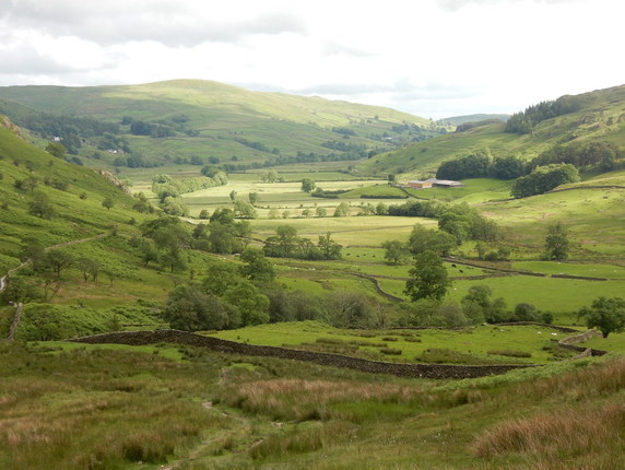
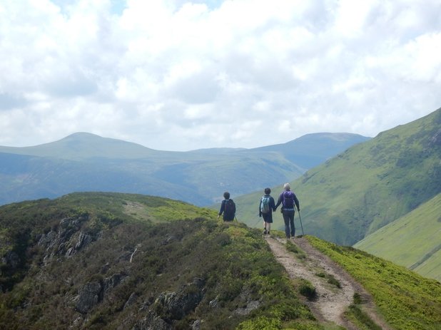
In Kentmere a field had been made into a carpark with an honesty box in which to insert £3. So I did. From here it is a steady climb up to and along High Lane. There is space for a few cars to park just before the track off right to Stile End which might have shortened my walk but it was all taken. At Hallow Bank the higher right of way towards Overend leaves the track, takes a gate to the right of the house and crosses a short grassy slope before reaching another track. To continue to Overend you go left here. But for Kentmere Pike you go right, up past a sign making clear that cyclists are very much not welcome, and up to a path leading up the fellside. Which it very pleasantly continues to in a gentle diagonal sort of way until it crosses an old dilapidated wall at a gap. From here the path continues in the same diagonal up to a stile and on to the top of Kentmere Pike. But I didn’t follow that way wanting as I did to visit Shipman Knotts. So I followed the ruined wall straight up till it ceased to exist and then followed it’s line towards the ridge. Very soon I could see the summit not very far away on my right and heading that way was very soon there. From here it’s pretty easy going on over Kentmere Pike to Harter Fell. The weather wasn’t the nicest. Strong wind, intermittent rain. Coming down towards the Nan Bield Pass it started to improve and the long walk down the dale turned out very pleasant. On a couple of times I found my way blocked by a heard of cattle but on my walking boldly but lightly past them they proved placid enough.
2 Comments
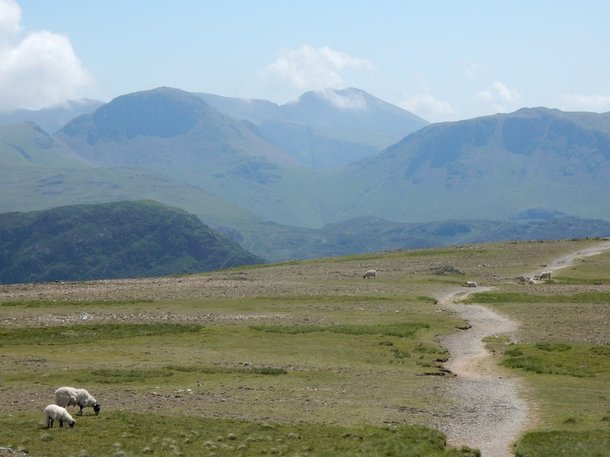 The walk up Dale Head from Honister Slate Mine is quite short with only 400m of ascent. Wainwright has this to say. "No other summit of like altitude is reached so quickly and easily from a motor road. Indeed, if a car is used to the top of the pass, a man of conscience must feel he is cheating the mountain." I But one this day of extreme heat it felt like quite hard work. From here a very pleasant walk leads to Robinson along Littledale Edge. There are wonderful views south to the hills round Great Gable and northwest to the hills around Grasmoor. I detoured out on the way back to collect Hindscarth with which I completed the Nuttalls in the NW Fells. I got back to the Slate Mine just in time before the café stopped serving ice cream. 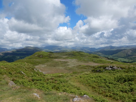 I parked at The Green Station and jumped on the next train to Ravenglass. From the station at Ravenglass I followed the track signposted to the Roman Bath House. This is well worth a visit but I had done so on an earlier occasion so I skipped it and turned off left to cross sheepy fields gently uphill and land on the A595. I followed this past the castle entrance to where it bends sharply right. Here I keep on straight up Fell Lane. This leads easily to the trig point. Somewhere around here a text from O2 Roaming welcomed me to the Isle of Man. There are a lot more paths here than are shown on the map. But I ended up on the main one that skirts round the right hand flank of Silver Knott. When I came to the end of access land a gate confronted me complete with signs: “Caution: Farm Animals with their Young”, “Beware of Bull”. And there they all were, bull, cows, calves, all around the line of the right of way. If you want to avoid them maybe better start at Irton in which case you would go left here and not through this gate. But through it I went and was soon back at my starting point again. This is a lovely walk. And one I will have to repeat if I want to claim the Marilyn, having discovered as I did from a peek at the Hill Bagging website that the trig point is not the summit. 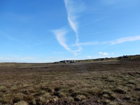 With Stefan. We parked at Fairholmes and set off up the track along the east bank of the reservoir. Just before the Howden dam a track heads off to the right climbing Hey Bank onto the reservoir, All the way over the high polateau to the tiny cairn on top of High Stones, the highest spot in South Yorfkshire. From here theplan was to head south to Back Tor. This is quite a treck. A lot of walks go the the nothern part of these moors round Howden Edge and Margery Hill. A lot go to the south around Back Tor and the abstract sculpture gallery that is Derwent Edge beyond it. Few join both. It's a bit of a detour out east to avoid the deep ravine made by the Abbey Brook biting into the plateau. For a long time there was little beneath our feet ressembling a path. Happily it was and had been dry otherwise it might have been much nastier underfoot. Finally we picked up the Duke's Road and followed it along Cartldge Stones Ridge to Back Tor. THen easily down and home. 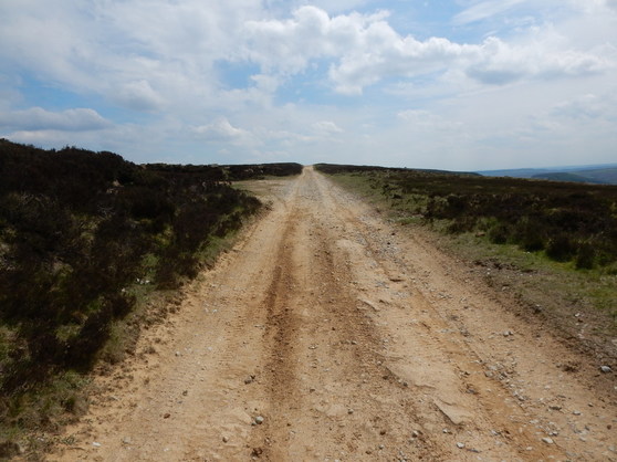 Another walk on easy tracks that olmce were railways. I left the car in Church Houses where there were men out mending the roads and headed off west, past Monket House and up the hill behind it. An easy track took me to Bloworth Crossing. Then another long track down the other side of the dale to readch the car park just south of the Lion Inn. Then down the steep road back to the village. Easy. Not very exciting. . |
|
| Jimmy Lenman |
|
 RSS Feed
