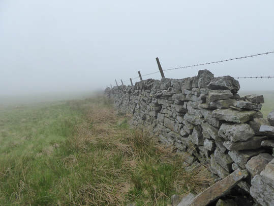
 Started between Allenheads and Cowshill at the top of the B6295 where there is a big potholed car park. An easy bag from here. Follow fence to tiny summit cairn. To make it a bit more of a thing, I followed the fence a biot further to the trig point. Then retraced my steps. Thick weather. Not much to see. If done by itself one of the easiest Nuttalls.
0 Comments
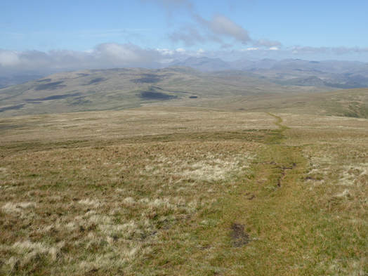
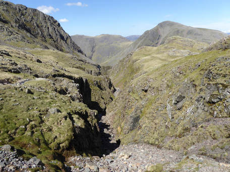
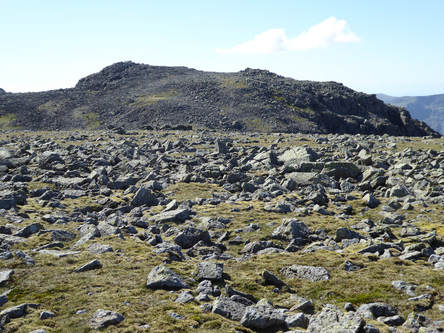
 There is a place to park at the top of the Fell Road. So I parked there. A path leads easily up onto0 the top of Stoneside Hill. Next target: Stoupdale Head. In the first instance this entailed crossing the low ground around Black Dub which was very boggy and unpleasant. But eventually it was just a case of following a fence nearly to the top where a short walk to the south leads to the tiny cairn. There followed a heavenly stroll in what was perfect spring weather to the top of Black Combe where I sat about and took in the oh my goodness what a view. More or less retraced my steps back but didn't bother to reascend Stoneside Hill.  I parked in the National Trust car park at the top of the Lake and headed straight up Lingmell. It’s a bit of a slog. It would be nice to be fitter. Eventually I got there and had a pleasant collapse for a bit. I set off again at first down the path towards Scafell Pike but veering left after a while with a view to picking up the Corridor Route near the top of Piers Ghyll. This bothered someone a bit. “OI! YOU’RE GOING THE WRONG WAY!” I heard someone shout. After a minute or so, once again, “YOU’RE GOING THE WRONG WAY!” from some chap who had passed me about halfway down to the col. The third time I was in no more doubt that this what directed at me and the fellow was convinced it was a LAW that everyone going this way was on the way up Scafell Pike and all the other paths scattered around the place going off in other directions were just for decoration. I am sure he meant well but really… Anyway I shouted back something hopefuly reassuring and he desisted. Just below the Corridor Route I met a large party of very friendly folk who were also going the wrong way. And so on across the top of Piers Ghyll were the rock scenery looking down it is really very impressive indeed. Middleboot Knotts was the next target, one of the few Nuttalls that is not a Wainwright and so spectacularly dwarfed by its neighbours that is seems a bit surprising it is anything. But the view from the top, especially of the eastern crags of Lingmell is pretty special.  From here I went back to the Corridor Route and followed it as far as the foot of Greta Gill which I used to get access, easily enough, to Round Howe, another non-Wainwright Nuttall dwarfed by its surroundings. ASfter that another bit of strenuous exercise as I made my way the rest of the way up Greta Gill to the col between Ill Crag and Great End, steep but perfectly easy. The top of Great End is bog and flat so I wandered round it a bit to be sure of visiting the top. Next I took the good path leading to Scafell Pike. Only a few daft peak collectors bother to collect Ill Crag and Broad Crag so the path by-passes both and detours were required, first to massive slag heap that is the top of Ill Crag and then a short but awkward ay across the mass of huge boulders that make the top of Broad Crag. From the col after Broad Crag it is a bit of a steep pull up to the summit plateau of Scafell. At this point the route described in the Nuttall guide carries tirelessly on to Scafell and Symonds Knott. But ‘tireless’ was not an accurate description of me by this time so I just headed straight back down the Brown Tongue path to the lakeside and my car now almost alone in the once crowded carpark. . |
|
 RSS Feed
