| Jimmy Lenman |
|
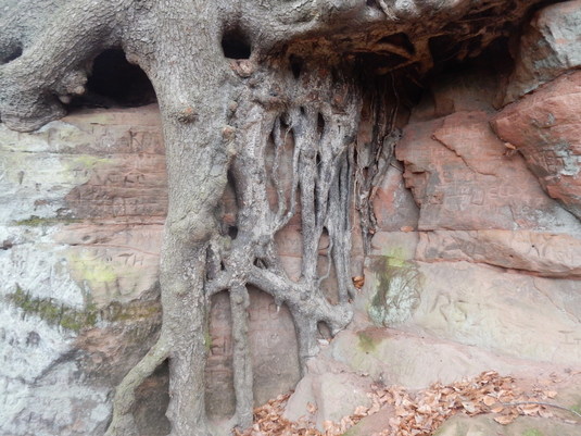
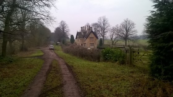
 I drove to the Creswell Crags Visitor Centre Car park (Pay and display, £3, only open at the weekend in Winter.) and started out by taking a nice wander round the crags. The caves are all blocked off with metal grills so there’s not much to see except cliffs and a little lake but its fun to walk around and picture a landscape full of fierce prehistoric beasts and the humans who hunted them. Then it was time for some proper walking. My plan was to start at the Creswell Crags Visitor Centre and walk to the Clumber Park Visitor Centre and back again. So I did. I began by following the Robin Hood Way east over fields to South Lodge where the path enters woodland where it stays for some time. Coming out of the one is soon at Truman’s Lodge, a big grand arched gateway entering Cumber Park. Here I had to flash my National Trust membership card at someone to be allowed to proceed. Clumber Park is a kind of stately home with the stately home removed, Clumber House, home to the Dukes of Newcastle having been demolished in 1938, the fine extensive grounds are still there looked after by the National Trust and popular outings among the good people of Worksop and Mansfield. I walked through the Park to the Visitor Centre.  From here a more ambitious walk would have carried on round the lake to Hardwick village and on to Clumber Park Hotel but light was limited and I took a more direct route, heading down a track signposted to ‘Clumber Bridge’. But instead of turning left for Clumber Bridge I kept straight on tgo leave the park just before Carburton, then left down the B6034 and right at the top of the hill where a public footpath heads through the forest towards Hazel Gap. From here another footpath follows a track northwest past a huge solar farm. I was back on the Robin Hood Way here and followed it up to a road, along the road to the village of Norton, north up a path over a couple of fields onto a track leading past Park Lodge and along the side of a deer park (there were some deer around, some distance off) and finally onto the A60. From here the most satisfying conclusion to the walk would be to keep on the Robin Hood Way into Welbeck and across more fields back to the west end of the Crags and back along them to the car park. But it was getting dark so I just too the less satisfying option of heading straight up the A60 back to the track leading west to the Crags Car Park. This is a fast, busy road but endowed mercifully with a pavement on one side. This closes at 4.30 which had by now been and gone but the barrier to get out rises cooperatively if you drive towards it.
0 Comments
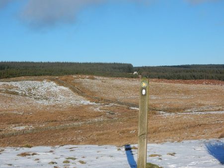 This is another walk from Donkin’s Pennine Way book, one of three covering the stretch between roughly Gilsland and Housesteads where the Pennine Way coincides with some of the more attractive parts of Hadrian’s Wall. But Donkin’s description starts the walk from Steel Rigg, while I started out at Housesteads. From here I followed the wall west for about half a kilometre until I reached the point where the Pennine Way veers off north towards Scotland. I followed it but nowhere near that far. The lady at the Housesteads visitor centre had advised me it could get terrible boggy round here and I was happy to believe her though for me today happily not so much, the ground being frozen. When I got to a track just east of East Stonesfolds Farm, I left the Pennine Way to follow it, past East and then West Stonefolds, then leaving the track to follow a permissive path to a hide beside the Lough. I spend a few minutes in here peeking curiously out but the Lough was frozen today and there wasn’t much bird life about. 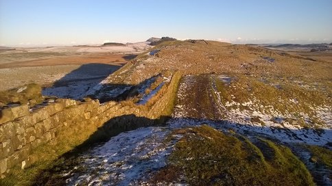 Thereafter the permissive path follows the edge of the wood for a bit then heads out over duckboard paving the boggy land near the lake. When I came to a branching I went right and headed up NE to meet the track between Greenlee and Gibb’s Hill. The route wasn’t always very clear and I lost the path a bit but found my track soon enough and followed it to Gibb’s Hill where it becomes a road leading uphill to a junction where a left turn took me to Steel Rigg. It’s a fair step back to Housesteads from here – Peel Crags, Highshield Crags, Hotbank Crags and the visitor centre was closed and the light was fading fast when I got back. 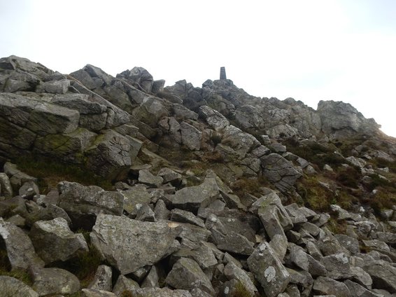 536m. quite a sizeable little hill. But the car park to the south which I used today is about 420m. above sea level, so really not a very challenging climb. There is a track heads NNE from the car park and I started up this countouring round and doubling back on the summit ridge from the north to reach the huge imposing structure of the Devil’s Chair followed by Manstone Rock the trig point topping which is the summit. There is entertainment to be had scrambling around here and today a good many children were delightedly doing just that. It’s not far down. 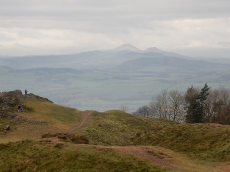 Came off the M54 and turned left. In a few minutes I was at the car park for the Wrekin. It was very full and I had to wait – happily not very long - for someone to leave to get a space. It is a very straightforward walk. On a holiday weekend like today you just follow the hordes. It was a misty December day but there were still view to be had south to Caer Caradoc and Brown Clee Hill. Instead of retracing my steps from the top I kept following the ridge – rather a steep descent on thios side till the col below Little Hill where I turned left and followed a land rover track back. 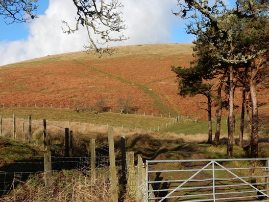 “Little Mell Fell barely merits inclusion in this book. It is a fell – its name says so – but it is not the stuff of which true fells are made.” Thus Wainwright and he has a point. It’s a very short straightforward climb even compared to its neighbour Great Mell Fell. There’s a space to park to the south of the summit. It looked so short a walk I didn’t bother changing my trainers for walking boots though the ground was steep enough and muddy enough to make me wish I had. There’s a choice of paths up the steep heather. You follow whichever you like the look of best up the obvious slope to the obvious trig point and back again. 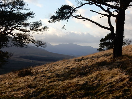 There is a little space to park to the SW of the fell where a track goes off west a little north of Brownrigg Farm. You can either follow this round to the left for a wee bit till a stile takes you onlto a footpath that does a riding contour for a bit before heading for the top. Of you can go right at the first bend in the track and cross a stile by a gate and a National Trust sign to contour the other way for a bit till again a path heads up through woodlands towards the top. I took the latter route up and the former route down. Not a difficult walk. It was extremely windy on the top. |
|