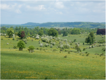
 With Olga. This was just a stroll really to pay a visit to the highest ground in the county of Hertfordshire. We parked in Wigginton and paid a quick visit to the trig point by Langton Wood. We then switched direction and headed west to have a look at the Summer House portico and the obelisk known as Nell Gwyn’s Monument, both built in the early 18th century for the indulgence of local bigwig William Gore. From here we walked SW through Tring Park, resplendent in the sunshine with the Hawthorn in bloom and glorious views NE towards Beacon Hill, then through Bishop’s Wood to Hastoe Cross. From there it’s a road walk about a kilometre west to where the road takes a sharp left and a 244 spot height on the OS map marks the county top. We carried on a little following the Ridgeway path into the wood as far as where a 248 spot height marks the top of this rather insignificant little hill. Back then to Hastoe Cross and then straight along a track past Wick farm took us very pleasantly back to where we began, just hungry enough to fancy a little late lunch and a pint in a pub in Aldbury.
0 Comments
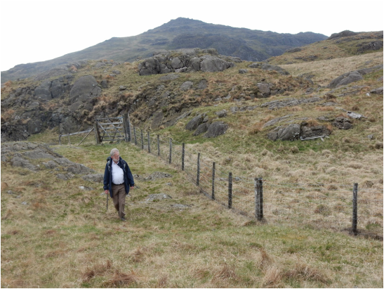 With David. An earlier attempt last year (43) had to be abandoned leaving this as unfinished business. That earlier time we had started near Birks. This time we began much closer to the top, in fact quite near where we gave up last time, at the top of the Hardknott Pass. There is only space here for a small number of cars to park but today we were one of them and off we went. You follow the main path down towards Birks for a short way until there is a stile over a fence. Here look to your right and you’ll see another still a bit further up. That is the faint branch-ling path heading up Harter Fell. It’s easy and doesn’t take long. The top is the big tor next to the trig point. If you want to be thorough and climb it, the easiest way is on the other side from the trig and is easy. Then down we went. 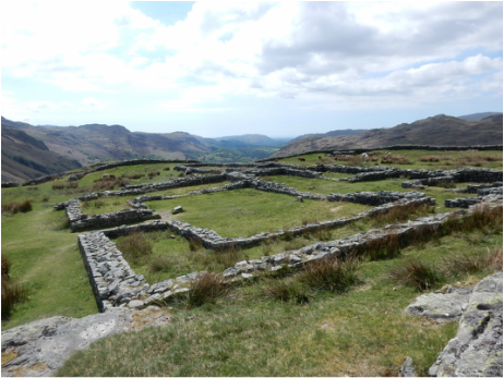 Normally climbing a hill the point you get back to the car is when you can relax. Not so today as the hardest, most stressful part of the day was the hairy descent of the pass back towards Eskdale, broken halfway down by a stop to look over the old Roman fort. 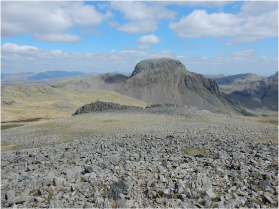 It was going to be a lovely day. I parked at the car park by the Wasdale Head Hotel and walked up to the hotel. The path to Black Sail path goes off left at the hotel and passed round the back of Row Head Farm. Soon after that the path turns left and I had to decide whether to get onto Kirk Fell by the Black Sail Pass or the masochistic but direct assault straight up the nose. Sensibly I chose the latter and plodded slowly the long way to the cairn at the top. There were loads of other folk going this way but I the top of the pass they all disappeared in the direction of Pillar leaving me tackling the craggy north ridge of Kirk Fell in solitude. This looks decidedly daunting from below but there turns out to be an improbably straightforward way more or less straight up it. There’s a path of sorts and a few cairns as well as a row of fence posts which I more or less just followed. Soon enough I was up on Kirk Fell enjoying some stunning views of the surrounding hills. None of them looked more impressive than Great Gable. Indeed the way up the NW ridge from Beck Head looked quite infeasibly steep from here. Perhaps it was. I remembered one report I had read online where the author had traversed from Beck Head to Windy Gap and gone up from there. That seemed a bit of a palaver but maybe the thing to do. Then there was the young man I chatted to on the summit. He had come down by the NW ridge and said he’d found it pretty hairy. He was ever so young and lean and fit-looking so I guessed too hairy for him would be way to hairy for me. 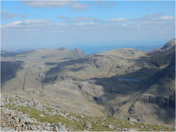 But off I went and bagged to East Top before heading down to Beck head on a steep but straightforward path. From here there were a good few people to be seen heading up the NW ridge without any obviously difficulty or terror so I thought I would just follow them and see how it went. It went fine. A stuff but straightforward climb up a good stony path up a rib then steep but easy ground to the top with a little delightful but easy and avoidable scrambling if you fancy it. I guess especially at the start it might be a little intimidating in descent as might the way up Kirkfell Crags so probably the clockwise direction I had picked is the best way to take this little circuit. The top of Great Gable was busy and breath-taking. From there a long but straightforward path took me to Sty Head. Wainwright tells us this path is “very bad underfoot” in places but I think there has been a lot of engineering on it since he wrote that and it’s basically a staircase. A long walk back along the foot of Great Gable in the afternoon sunshine rounded things off. It had been a lovely day. 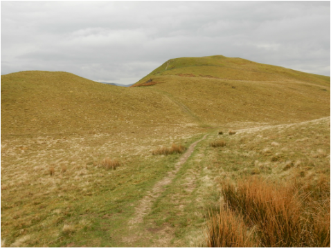 It was mid-afternoon when I reached the Lake District so just time for a little hill. This looked suitable. There is nowhere to park in Thackthwaite but there is space for a few cares at the roadside a short way to the north. The verges today were an explosion of wildflowers dominated by stitchwort and forget-me-not. Back up the road in the village there is a sign marked “Public Footpath Low Fell”. Following it took me to Low Fell with wonderful views over to the NW fells round Grasmore and south to the fells around Crummock Water. From there it is an easy an pleasant ridgewalk north to the trig point on top of Fellbarrow over Sourfoot Fell and Smithy Fell. Then easily home. 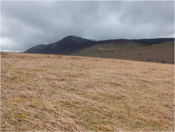 I parked by the Methodist Chapel in Braithwaite and headed up Newlands Hause, a steep road that soon becomes a path which leads fairly directly and with very little fuss to the top of Stile End. Actually the main path bypasses Stile End but a smaller one heads straight up the front. Outerside also has a bypass but I climbed that too. After that I planned to head up Sail and back down by Causey Pike, But as I was descending Outerside back towards the main path, Causey Pike suddenly looked alluringly near so I thought, why not do that first and get onto the ridge quicker. 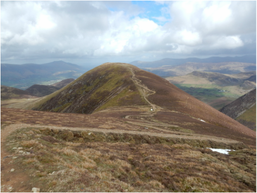 That would make a circular walk into a loopy figure of eight but not make it any longer. So that is what I did and a lovely walk it turned out to be. I was soon on Causey Pike with its five nodules of which the outermost and easternmost is, according to the Nuttalls, the highest. Easy then to Scar Crags along a pleasant ridge with great views over Ard Crags to Robinson. And on to Sail, a bit more of a pull up an emphatically zigzagging path that zigzag-enamoured Wainwright (“A good walker’s special joy” – Great Gable 16) would have appreciated. From here it was an easy walk back down an excellent path, this time taking full advantage of the Outerside and Stile End by-passes. 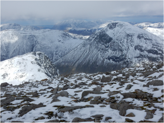 I had been planning something a little more ambitious but was a little taken aback to arrive at Wasdale Head to find the hills covered in snow so I settled for Scafell Pike by the usual tourist route. The way is straightfoward enough. You start at the National Trust Car Park and head south a short way to near the mouth of Lingmell Gill which you follow up past the Fell and Rock Climbing Club hut at Brackenclose to a place where there is a meeting of streams. The way lies between these on a well-engineered stepped path up an incipient ridge called Brown Tongue which leads to a big boulder strewn area below Mickledore called Hollow Stones. Here a branch line path heads off towards Mickledore but the tourist route turns left towards Lingmell Col and from there straight up the northwest slopes of Scafell Pike to the summit. It’s a long, arduous ascent but straightforward enough. Today however there was comprehensive snow cover from Hollow Stones up which made for interesting going. 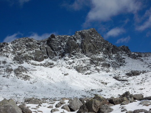 This was not a solitary walk. The snow had not deterred the May Bank Holiday crowds. There were hundreds of them, a much more international crowd than you get on most British hills. I guess as England’s highest it’s something a lot of tourist’s like to tick off. Lots of children. Lots of dogs. So many people made the going a little harder as so much traffic had compacted the snow leaving it treacherously slippery. Of course nobody had crampons. A very confident Frenchman was escorting a very unconfident, extremely nervous girlfriend with rather touching patience and kindness. “Bravo!”, “Magnifique!”, he would salute her every time she inched warily down another short section of slipperiness. But the weather held. Everyone got home safely. A good time was had by all. And the Ratty Arms in Ravenglass made me a nice hearty dinner. 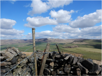 I started at the pay and display car park on the Sett Valley Trail at Hayfield and set off west down said trail. After about a kilometre I left the trail and climbed a little hill to cross the road the A6015 just by the nice piece of cultural hybridisation that is The Grouse Public House and Chinese Restaurant in Birch Vale. I could have made a shorter walk parking here for free. From here there is a track that heads uphill southeast. I stuck on this until the point where the OS 1.25,000 map has a 426m, spot height where a path goes off left and crosses the ridge. Just after the brow of the ridge another path goes off right which leads towards the top. It isn’t obvious what the top is. 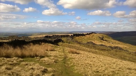 The trig point has a spot height of 451 (452). (That means the base of the trig point – given first - is not quite on the highest bit of ground – given in brackets). But half a kilometre north of the trig is a 450m. contour line with no spot height to indicate how high the ground within it goes. The latter point is easily and quickly reached and is where most folk seem to stop to eat their sandwiches and treat as the top. There’s a rocky outcrop here to perch on on the edge of the escarpment with great views over towards South Head. Indeed the whole of the western part of Kinder can be seen really well from up here. The trig point is harder to find and awkward to reach. Back I came the very same way a pleasant, not very challenging walk on a beautiful April day. |
|
 RSS Feed
