
| Jimmy Lenman |
|
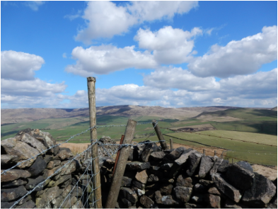
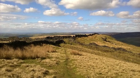
 I started at the pay and display car park on the Sett Valley Trail at Hayfield and set off west down said trail. After about a kilometre I left the trail and climbed a little hill to cross the road the A6015 just by the nice piece of cultural hybridisation that is The Grouse Public House and Chinese Restaurant in Birch Vale. I could have made a shorter walk parking here for free. From here there is a track that heads uphill southeast. I stuck on this until the point where the OS 1.25,000 map has a 426m, spot height where a path goes off left and crosses the ridge. Just after the brow of the ridge another path goes off right which leads towards the top. It isn’t obvious what the top is.  The trig point has a spot height of 451 (452). (That means the base of the trig point – given first - is not quite on the highest bit of ground – given in brackets). But half a kilometre north of the trig is a 450m. contour line with no spot height to indicate how high the ground within it goes. The latter point is easily and quickly reached and is where most folk seem to stop to eat their sandwiches and treat as the top. There’s a rocky outcrop here to perch on on the edge of the escarpment with great views over towards South Head. Indeed the whole of the western part of Kinder can be seen really well from up here. The trig point is harder to find and awkward to reach. Back I came the very same way a pleasant, not very challenging walk on a beautiful April day.
0 Comments
Leave a Reply. |
|