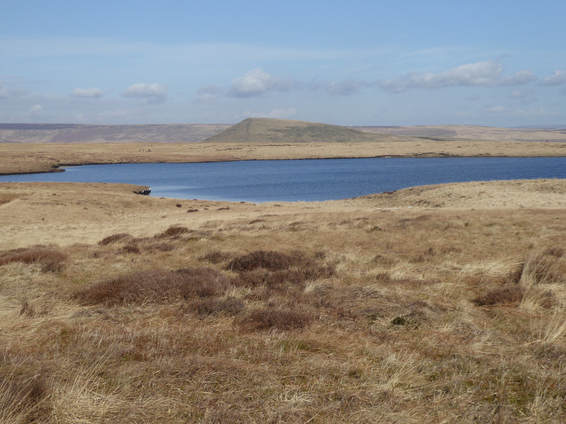
 The easy way up Black Hill is to follow the Pennine Way from the A635 to the north, a mile and a half each way up and down. The classic way is to follow the Pennine Way from Crowden to the south. A rather perverse way is to lengthen the former route considerably by starting much further north at the Standedge car park on the A62. Be careful driving into this at the entrance is guarded by a couple of rather large potholes. The Pennine Way leads south from here stringing together a series of reservoirs: Redbrook, Black Moss, Swellands, Wessendale, Wessendale Head. It was a beautiful sunny Palm Sunday and it was very busy, loads of people, loads of dogs. Just before Wessendale Lodge I briefly deviated from the Pennine Way to loop round to the right and visit an attractive waterfall. Annoyingly, especially on so fine a day, just as I came to the A635 my camera battery died and I wasn’t carrying a phone so no pictures thereafter. Leaving the A635 one is already 451m. up the 582m. of Black Hill so it’s not a long climb. Flagstones most of the way make it a pretty easy one. My way down was trickier, following the ROW shown on the map going NW across Wessenden Head Moor. Donkin in his Circular Walks book warns the reader that this is rough going. It is indeed rough going. The path is often decidedly vestigial. Occasional marker posts make life a little easier with the excellent visibility I enjoyed – this route would be very hard to follow in bad weather. It was boggy often very boggy and a number of groughs had to be negotiated. It was a relief finally to get back to the A635. I didn’t expect much respite as Donkin warns readers that the path back to Standedge from here over Saddleworth Moor, after a brief flagstoned section, is another uncomfortable slog over very tough, boggy, terrain. But I think the path has been improved since he wrote this warning. Today the flagstones take on almost the whole way to Black Moss Reservoir just before which there is as short and easy section without them and after the reservoir back on the Pennine Way and so easily home. I say ‘easily’ – I was quite tired by this point.
0 Comments
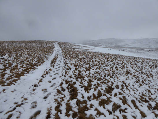 Cumbria had had a battering. The Beast from the East - as the press called it - had dumped a ton of snow all over but very much here and something called Storm Emma had blown it into huge drifts. Driving up the previous day thhe radio was all about military helicopters flying food into remote villages hereabouts that were cut off by snow. But now it was thawing and things seemed under control. I was pleasantly surprised to find that even the tiny minor road hat goes south from the A685 near Newbiggin-on-Lune to Waesdale was clear and very drivable. Coming into Weasdale there is a ruined farmhouse on the left. Just before this there is a place you can park. Just before this there is a track off to the left. I parked in the place and walked up the track which leads all the way over the top of Green Bell to the top of Randygill Top. I can down the same way following my own footprints. A nice easy hill walk for a wintery day. Visibility on the tops was very poor. But not so cold and especially as I came down the snow was disappearing very fast. 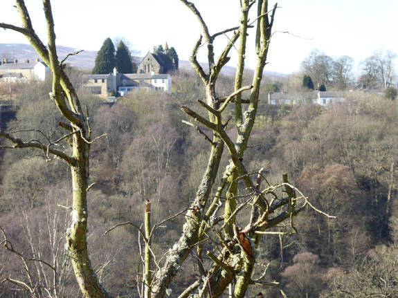 Car parks punctuate the South Tyne Trail and one is at Rowfoot just by where a sign off the main road points to the Wallace Arms. I parked here at walked south, easily down trail to the spectacular Lambley Viaduct. After crossing this some steps led me downhill to fork left and, very soon afterwards, branch right on a path that led me into Lambley. I turned left here. The path I wanted is unsignposted but is the obvious gap in the buildings just before the churchyard. This takes a tunnel to pass under a b-road before crossing some fields to a point where a minor road joins the A689. The right of way as you approach the road is signposted right across the garden of someone’s house. Alternatively you can just go left a bit and use a gate. Which I did. Opposite the minor road a track heads south. I followed this a short way to pick up the Pennine Way which I then followed north. 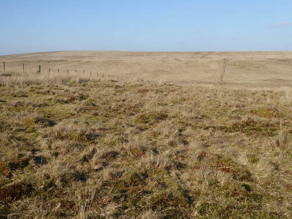 Back to the A689, across it, alongside a wall till the latter changes direction when it continues in the original direction, past the ruined High House then right and downhill to a bridge across the Hartley Burn then left and up again and over a bog field to Batey Shield Farm. Kevin Donkin in his Pennine Way Circular Walks – of which this is one – suggests skipping that last sentence and getting to the point by following the minor road north from the A689, writing: “This follows the course of Maiden Way, a Roman route running over the Pennine ridge (the name means ‘great ridge way’), and offers a good alternative to the unappealing mix of boggy moorland and cattle-churned pasture that is the next section of the Pennine Way. “ A key word is cattle-churned: this is of course a nice subtle way of saying to the reader, “If you are scared of cows, you might want to avoid this bit and here is how,” while sparing us all the embarrassment of any of us having to admit that we are anything of the sort. I stuck to the Pennine Way where I met no cows at all, unsurprisingly as it was the kind of very cold weekend when you would expect them to be away from their pasture somewhere warm and indoors but it was clear from the, er, material evidence underfoot that it is indeed pretty intensely cow-populous hereabouts when the weather is warmer. It was still quite tough going with no cattle to duck around. The Pennine Way hereabouts is pretty rough and sometimes extremely boggy. Past Greenriggs the landscape opened out attractively and I was soon on access land. Here you need to be careful as the route is not always obvious but the idea is to veer left. You are doing fine if you do this and meet a fence heading north. You are doing very fine if you meet the fence just where a yellow marker post reassures you you are still on the Pennine Way. It leads north from here again over very boggy ground. There are a couple of half hearted attempts to engineer short bridges across bits of this. At the highest point a ladder style crosses a wall and a short detour to the left bags the trig point on the top of Blenkinsopp Common – it’s a Tump if you are crazy enough to care. 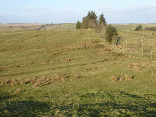 From here the Pennine Way heads swiftly downhill before turning sharply right along a track for a bit then left along another to reach the A69. I too the last left about 250m too soon along the wrong track and hit the main road in slightly the wrong place which left me a bit confused but I quickly figured out what I had done and got back on track. This meant heading up by a wall along the side of the Haltwhistle Golf Course, ignoring a bunch of ladder styles for golfers to retrieve stray balls, until a sign sent me right across the edge of golf course itself, over a road, along a path in front of some houses, across a railway and up a riverbank to pass the ruins of Thirlwall Castle. From here to the road by the Walltown Quarry – where I had started yesterday – was about a kilometre up a nice grassy path past some sheep but pretty relentlessly uphill. My legs were getting rather tired now and I felt it. I followed the road down to the B6318 then a footpath across a sheepy field and by some woods past College Farm, where they like their horses – someone was practicing showjumping – back to the A69. After I crossed this, the rest of the walk was pounding tarmac, first two miles up another big hill then down it again to the attractive Featherstone Bridge. Then right and anolther mile and a half along the bank of the South Tyne, past Featherstone Castle and then a final slog up a final hill, past Hall Bank Head where something that did not sound friendly barked at me in the rapidly failing light on and to Featherstone Rowfoot where a friendly man with another very unfriendly dog – it really wanted to kill me but happily was on a lead – helped me locate the car park in what was now almost total darkness. 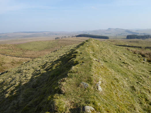 I parked at Walltown car park near Greenhead. £5 pay and display. From here to Cawfileds is a little more than 3 miles. The first half is a nice bumpy ridge with little drops and rises. Then it gets less hilly slowly dropping down to some woodland. After passing this and Cockmount Hill Farm. - doing my best not to giggle at the name - I came to Aesica Fort, a quiet spot not like Houseteads or Vindolanda with their car parks an entry charges. Much less to see but still well worth a look. 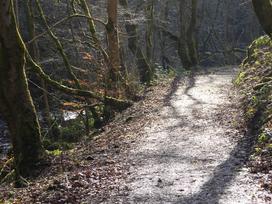 Soon I was at Cawfields where I turned right and followed the well-signposted Haltwhistle Burn Path. This was a delightful surprise a lovely riverside stroll down to Haltwhistle. When I got to the edge of town I turned around. I was staying there so there would b3 plenty chance to explore. I headed back up the hill on the road past Broomshaw Hill Farm to Lees Hall Farm. The road ends at the latter and the right of way skirts the right of the buildings. Going through a gate leaving the farm behind I noticed a sign inviting people coming the other way to ‘Beware of the Dog’. I hate that. Public rights of way are no place for intimidating signage, certainly no place for intimidating dogs to be running around lose. But today I saw only the sign and no dog. I also passed three signs advising me to be cautious of belligerently motherly cows and one alerting me to the presence of a bull. But these bovine terrors also failed to materialise. It was a freezing day and I guess they were all snug in their barns. From behind Lee Hall a short walk north took me onto the farm road that passes Markham Cottage before swinging left and taking me easily back to where I started. |
|
 RSS Feed
