

| Jimmy Lenman |
|
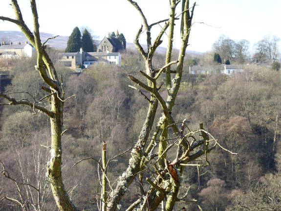
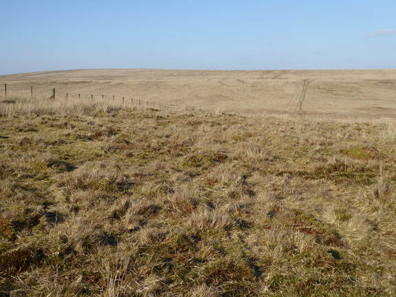
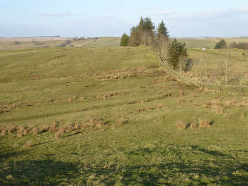
 Car parks punctuate the South Tyne Trail and one is at Rowfoot just by where a sign off the main road points to the Wallace Arms. I parked here at walked south, easily down trail to the spectacular Lambley Viaduct. After crossing this some steps led me downhill to fork left and, very soon afterwards, branch right on a path that led me into Lambley. I turned left here. The path I wanted is unsignposted but is the obvious gap in the buildings just before the churchyard. This takes a tunnel to pass under a b-road before crossing some fields to a point where a minor road joins the A689. The right of way as you approach the road is signposted right across the garden of someone’s house. Alternatively you can just go left a bit and use a gate. Which I did. Opposite the minor road a track heads south. I followed this a short way to pick up the Pennine Way which I then followed north.  Back to the A689, across it, alongside a wall till the latter changes direction when it continues in the original direction, past the ruined High House then right and downhill to a bridge across the Hartley Burn then left and up again and over a bog field to Batey Shield Farm. Kevin Donkin in his Pennine Way Circular Walks – of which this is one – suggests skipping that last sentence and getting to the point by following the minor road north from the A689, writing: “This follows the course of Maiden Way, a Roman route running over the Pennine ridge (the name means ‘great ridge way’), and offers a good alternative to the unappealing mix of boggy moorland and cattle-churned pasture that is the next section of the Pennine Way. “ A key word is cattle-churned: this is of course a nice subtle way of saying to the reader, “If you are scared of cows, you might want to avoid this bit and here is how,” while sparing us all the embarrassment of any of us having to admit that we are anything of the sort. I stuck to the Pennine Way where I met no cows at all, unsurprisingly as it was the kind of very cold weekend when you would expect them to be away from their pasture somewhere warm and indoors but it was clear from the, er, material evidence underfoot that it is indeed pretty intensely cow-populous hereabouts when the weather is warmer. It was still quite tough going with no cattle to duck around. The Pennine Way hereabouts is pretty rough and sometimes extremely boggy. Past Greenriggs the landscape opened out attractively and I was soon on access land. Here you need to be careful as the route is not always obvious but the idea is to veer left. You are doing fine if you do this and meet a fence heading north. You are doing very fine if you meet the fence just where a yellow marker post reassures you you are still on the Pennine Way. It leads north from here again over very boggy ground. There are a couple of half hearted attempts to engineer short bridges across bits of this. At the highest point a ladder style crosses a wall and a short detour to the left bags the trig point on the top of Blenkinsopp Common – it’s a Tump if you are crazy enough to care.  From here the Pennine Way heads swiftly downhill before turning sharply right along a track for a bit then left along another to reach the A69. I too the last left about 250m too soon along the wrong track and hit the main road in slightly the wrong place which left me a bit confused but I quickly figured out what I had done and got back on track. This meant heading up by a wall along the side of the Haltwhistle Golf Course, ignoring a bunch of ladder styles for golfers to retrieve stray balls, until a sign sent me right across the edge of golf course itself, over a road, along a path in front of some houses, across a railway and up a riverbank to pass the ruins of Thirlwall Castle. From here to the road by the Walltown Quarry – where I had started yesterday – was about a kilometre up a nice grassy path past some sheep but pretty relentlessly uphill. My legs were getting rather tired now and I felt it. I followed the road down to the B6318 then a footpath across a sheepy field and by some woods past College Farm, where they like their horses – someone was practicing showjumping – back to the A69. After I crossed this, the rest of the walk was pounding tarmac, first two miles up another big hill then down it again to the attractive Featherstone Bridge. Then right and anolther mile and a half along the bank of the South Tyne, past Featherstone Castle and then a final slog up a final hill, past Hall Bank Head where something that did not sound friendly barked at me in the rapidly failing light on and to Featherstone Rowfoot where a friendly man with another very unfriendly dog – it really wanted to kill me but happily was on a lead – helped me locate the car park in what was now almost total darkness.
0 Comments
Leave a Reply. |
|