
| Jimmy Lenman |
|
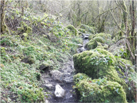
 The four miles or so from Peak Forest to Miller’s Dale through Dam Dale, Hay Dale, Peter Dale and Miller’s Dale has to be one of the most beautiful stretches of walking anywhere in the Peak District. I parked up on the edge of Peak Forest where there is a small lay-by by a derelict building. From there I walked down to the village centre and left down Damside Lane past the wonderfully named Parish Church of Charles King & Martyr. After Damside Farm the way goes left and almost immediately afterwards right to go down a long field to Dam Dale Farm where a narrow path skirts along the side of a huge cowshed (very full of beasts today). Then it is just glorious down through the green pastures of Dam Dale, into Hay Dale where the valley deepens and starts to get a little woody, over the road at Dale Head into he today rather waterlogged Peter Dale and finally the beautiful mossy woods of Miller’s Dale where progress is slowed by the roughness and slipperiness of the limestone pathway but it is all so lovely you wouldn’t want to rush. At the end of Monk’s Dale there is a bridge over a river after which a path climbs up and down again to deposit you on the road by the church in Miller’s Dale.  Here you cross the road and head towards the pub but follow a footpath sign right before you get to it, cross the Wye on a bridge and head uphill to the Monsal Trail. It was at this point I realised I had just over two hours of daylight left so I didn’t hand about. I followed the Monsal Trail west, over a big viaduct, past the old station and the old lime kilns and over a second, smaller viaduct. Just after the second viaduct there is a footpath leads down the hill into Chee Dale and straight back out of it up into Wormhill. I walked briskly north through the village only pausing briefly to glance at the memorial to James Brindley who was born nearby and the old stocks by the roadside. Where the main road turned left I carried on into Hargatewall. To where a track goes off to the right through Hayward Farm. Bad news. There is a big fierce dog at this farm. Good news, He (or she, I didn’t hang about to investigate) is attached to a chain and was reduced to squealing in frustration at not being able to eat me. After about a kilometre this track turns left but the public footpath carries straight on downhill across fields. But there is no signposting of any kind so you need to have vour wits about you and be paying attention to the map. Pretty soon I was back down at Dale Head with very little daylight left at all but with more brisk walking, now retracing my steps, I was soon back at Damside Lane.
0 Comments
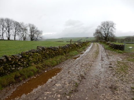
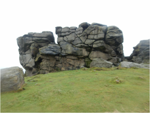
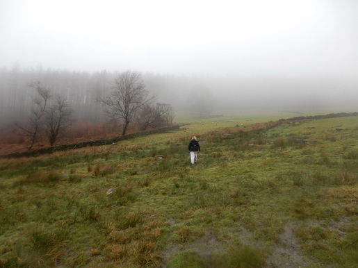
 With Ulrike. We drove to the Stainburn Moor Car Park which was awash with off road bikers whom happily we didn’t see much more of the rest of the day and headed southeat down a very muddy track which leads to the trig point near Lanshaw Farm. Then on the same way down the farm lane to cross the B6161. Over this and still more southeast to reach Greenmires Lane. From here it is a short road walk to reach the foot of Almscliffe Crag. This has been part of the view on so many Yorkshire walks over the years I really thought it was time I visited. It looks quite imposing and impregnable from the northern side but the crags are all avoidable till near the very top where the scrambling to the top is very easy. From here we headed south down Merrybank Lane then across country through fields past close to Lower Bank Fram and Bank Farm to Stainburn. There were sheep in some of the fields and a vast number of seagulls in one of them. Cutting a corner by the church we headed up Church Lane to Braythorn. A muddy lane goes west from here and crosses the Stainburn Gill to meet the B6161 again. There is a bit of traffic on this so it was a relief to turn right off it soon onto Pill White Lane. It was turning misty up here now with the fields and trees rather lovely in it. But we were not high up for long, Down the lane we went almost as far as Lindley Bridge just before which we took the path through woods that leads to Lindley Wood Reservoir. It is very pleasant walking along the side of this for the short distance to the bridge over Greystone Beck.  Very soon after this a path (presently unsignposted) head north steeply uphill to land you on the beautiful – and again today misty – high pasture that you cross to reach Wood Top Farm and the road. A small gate gave pedestrian access to the approach to Prospecthouse Farm. Vehicle access was by a large, rather high security gate with an intercom for visitors such as you might usually find at the entrance to a piece of land patrolled by unfriendly guard dogs. So I was a bit nervous heading across the field up the footpath which bypasses the farm policies a little to the west. It’s well signposted at first as I thnk the farm people want to keep pedestrians out of their way but once past the farm things get a little confusing. The layout of walls and fences rather seemed to have altered since my Explorer Map was made and no signs showed where the path went but we went where it should have been over across a large horribly muddy field churned up by (happily absent) cattle and found our way safely to the woods by Norwood Edge. At this point I annoyed Ulrike by insisting on taking a short detour to visit the nearby trig point. She doesn’t understand about trig points, I’m afraid, so she waited while I went off to quickly collect it. In fact it’s rather a splendid trig point perched high on a big gritstone boulder that needs scrambling up. In the wet conditions this wasn’t something I fancied doing in a rush and I was beginning to fear the wrath of Ulrike if I made her wait to long so I left it for another day and rejoined her. The plan now was to follow the path through the woods and past Little Alms Cliff but we branched off , without realising, on a track going off right and ended up going a little further south on the south side of the woods along Lindley Moor but in end case comfortably back to the car where there was a big tin full of biscuits. |
|