| Jimmy Lenman |
|
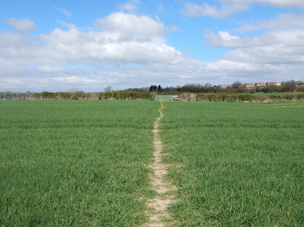
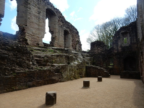
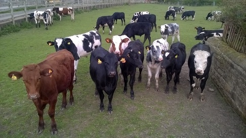
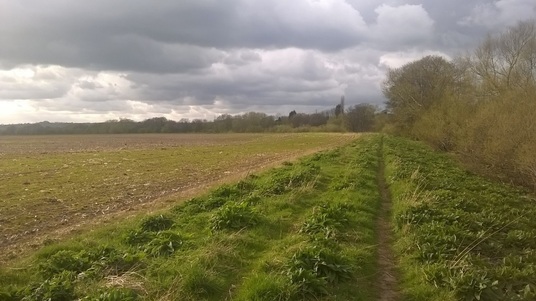
 This is another of Williamson’s castle walks. They all start from pubs, in this case The Scott’s Arms at Sicklinghall. (Pedants’ Corner. If they mean ‘Scott’, the surname, why the definte article? If they mean the nationality, that’s not how you spell it.) From there I walked down the main road, left into Stockeld Lane after the village pond and left again soon after onto a field path towards Spofforth. This was a nice midday stroll through fields full of sheep and new lambs. One perhaps protective new mum took umbrage at my presence and came charging towards me baaing ferocious - if one can baa ferociously - but it wasn’t too alarming. She got up to about five feet away when she suddenly remembered she was a sheep, turned round and ran away. Even had she not backed off, I suspect there is only so much damage a sheep can readily do. The last field I crossed coming into Spofforth, cutting a corner of the road by the cricket club had a big herd of cows grazing in it but they were chilled out beasts and left me be, unlike some of their conspecifics I would meet later.  After pausing to peek at the castle I took the path making a nice tree-lined avenue through the middle of the golf course and on to the south of Lodge Wood to pick up a track by Lodge Farm that took me to Sunrise Farm. At Sunrise Farm there are some notices posted to say the rights of way have all been altered since my map was published (and since Wiliamson write his directions). The map gives alternative routes between Sunrise and Low Hall. There now seems to be only one. The notices say to take the straight track south by southwest a bit before the farm, then the next track right, turning left towards Low Hall along the field boundary in between those followed by the original two alternative paths. I didn’t quite do that but cut the first corner taking the track a little closer to the farm that skirts to the left of the buildings as this was where all the Footpath This Way signs were telling me to go. Walking, a bit later, up the hill after crossing the Keeper’s Walk stream, I nearly jumped out my skin when some unseen person not very far away at all let off a firearm very loudly, but if they were aiming at me they missed and on I went, thought Kirby Overblow and on past Birdwell Farm. It was settled now into a gorgeous spring day: wild flowers everywhere, primroses, celandine, forget-me-not. I turned left onto the track to Swindon Hall with its imposing and evidently unused gates and across more fields to cross the A61. From here a lane called Green Lane heads up Healthwaite Hill with glorious views down to the Wharfe valley and over west towards Almscliffe Crag.  Turning left by the mast at the top took me south down a road and across a field to the woods at Rougemont Carr which were glorious with bluebells. Then it’s a lovely walk along the Wharfe to Harewood Bridge. After the bridge a corner of two busy A-roads is cut by a footpath that first cuts through the sawmill and then takes you through a big L-shaped field. Matter got a little complicated here. The path through the sawmill was a bit unobvious and not so well signposted. The L-shaped field was full of some extremely boisterous bullocks who were extremely excited to see me and chased back to the stile where I had started. I think they were boisterous rather than belligerent and I would perhaps have been fine if I had followed the standard counsel with bullocks which I think is to march fearlessly and unhesitatingly through their midst herding them away from one's person with a sturdy stick and cries of "shoo". Which has worked for me in the past when I was feeling brave and there was no alternative way round. But these were really very boisterous and very numerous, it was a long way through this particular field and I was feeling a bit vulnerable as a solitary walker, so I took the slightly longer bullock-free way round on the road, feeling a bit of a wus. I do think it’s a little obnoxious grazing beasts like this on fields with footpaths, not least as, no matter how brave I might feel on my own behalf, I would really not like to venture through such a field if, say, I had a couple of small children in tow. In any case I had some reason to regret my cowardice (pun intended) as the road were horrible, with busy fast traffic and little or nothing of much use by way of verge.  As I entered the ground of Harewood House big signs warned me of the presence in the field of stags. I had had enough excitement for one day by now but stags are a lot more sensible than bullocks and have never given me the least bother. In fact I never encountered any stags but I’m pretty sure those were a couple of red kites I saw circling high above me. On I went through the park, southwest then east along the ridge into Harewood, most of which seems to be for sale at the moment. From here my way went north up the A61 then down Fitts Lane onto the lovely part of the Ebor Way that follows the Wharfe for a couple of miles East before turning south and heading for the A659. The last half k or so before the road there was some discrepancy between where Williamson was telling me to go and where the yellow waymarks wanted me to go. I followed the waymarks along a muddy overgrown path - probably the Williamson way is nicer. I had already learned today that the A659 is a horrible thing to walk on and the next few hundred yards confirmed this lesson. Soon there’s a welcome bridleway off left after which the final couple of miles back to Sicklinghall is pretty straightforward even on what were now after 1t6 miles, rather tired feet.
0 Comments
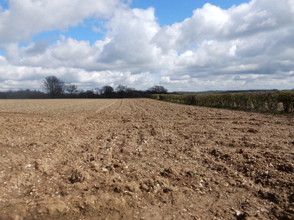 With Bob. Bob drove us from Mile End to Biggin Hill where we stopped for coffee and bacon sarnies in the Biggin Café which I fear I cannot wholeheartedly recommend for the quality of either. Then on down the A233 to Hawley’s Corner where we parked across the road from the Indian Restaurant. From here we walked down the A233 to the high point of Westerham Heights, where the bit of ground at the top is the highest in Greater London. Then down the lane to Betsom’s Hill, the top of which, hereabouts is the highest ground in Kent. We then returned to the A233 and walked the kilometre or so south to where it meets the North Downs Way. This was horrible, with no verge most of the way, fast traffic and blind corners; it was a huge relief to step off it onto the footpath. The weather was improving too round about this time and it was delightful to follow the well-signposted path as far as the trig point at Knockholt Beeches where we started back threading a route along rights of way through Knockholt and Horns Green to Buckhurst Farm. We met a herd of deer in the valley between Horns Green and Buckhurst Farm. The farm itself involved a less pleasing animal encounter. Here the right of way took us for a stretch down a narrow gap between two fences. Behind these, on both side large dogs pursued us barking ferociously. Happily the fences are reassuringly high. Having run this gauntlet of canine intimidation we were back on Buckhurst Road which we followed back to where we parked. Apart from the nasty bit on the A233, this was a pretty delightful walk, with the sun shining and the woods awash with primroses and bluebells. 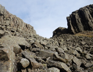 “In some cases there are a number of possible return routes for each section of the Pennine Way. Those presented here have been chosen after a thorough investigation of the alternatives, and should not be abandoned in favour of other that might look better on a map.” No, Kevin Donkin, that is wrong. The joy of walking is about exploring and it is no kind of virtue to stick religiously to the routes in guidebooks. But, that said, Donkin’s Circular Walks Along the Pennine Way is a great wee book and this is Walk 4 in the North Pennines section. Unlike most of Donkin’s routes which follow the Pennine Way for a bit and return by some other route, this uses the Pennine Way as a return route after climbing the spectacular High Cup Gill which the Pennine Way by-passes. 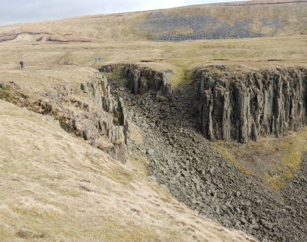 The car park in Dufton was full but there was plenty parking on the street. I parked just a little down from the Pillar Box Pantry where I grabbed a bacon roll and a latte before heading off down the path by the car park into Dufton Gill. I followed the riverside path to the road, crossed it and walked past Greenhow Farm.; Then it was a lovely walk over fields with great views to the Lake District Fells and a lot of sheep with young lambs for company to the road at Keisley. The next kilometre followed this very quiet road as far as Keisley Bridge just after which a path heads off left for Harbour Flatt Farm. From here I picked up the main path up High Cup Gill. This climbs quite high up on the side of Middle Tongue before returning to the valley foot and following it all the way up. At the top there are two ways. One follows a path up some very steep grass off to the left, the other follows the steep but reasonably stable boulder field that fills the Nick itself. I opted for the latter which Donkin describes as “a daunting scramble”. I thought it straightforward enough and I am quite an easy man to daunt, more a clamber than a scramble up through the wonderful rock scenery at the top of the Gill. From here a nice ramble takes you gently down the Pennine Way back to Dufton with wonderful views west to the Lake District. It was a beautiful afternoon. At one point some oaf buzzing on a noisy offroad motorbike rather damaged my spirits but a skylark restored them by singing a wee song just for me. |
|