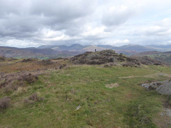
 With Anna. There is a big car park on the A593 a bit to the south of Yew Tree Tarn. From here we followed the busy road to Yew Tree Farm round the corner. There is actually a way signposted through the field alongside to get to the farm avoiding the road but we only spotted this as we were getting back too late to take advantage. From the farm a track leads up and left where a path branches off and leads very pleasantly and easily through woods to the top of Holme Crag. We followed this up and we followed it down again. It was nice.
0 Comments
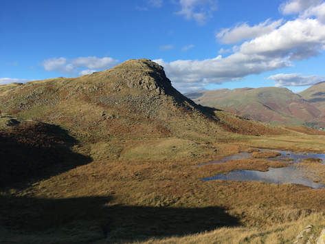 With Anna. Starting in Grasmere we walked up the Easdale Road and the path up towards Easdale Tarn. About ½k before the tarn the path bends left and it is here that Wainwright suggests breaking off to cross Sourmilk Gill to get to the path up the east ridge of Tarn Crag. But the Gill looked pretty big at this point and we didn’t fancy wet feet. So we carried on to the Tarn where we were able to cross the Gill and make our way up what was almost a rough path following a tiny stream steeply uphill to reach the east ridge path which we followed easily to the very pleasant top of Tarn Crag. Down from here, pathlessly at first, towards Codale Tarn by where we were on a path which took us back to the main path from Grasmere via Easdale Tarn to Sergeant Man. From here we climbed about halfway to the Sergeant, picking up his SE ridge but turning left instead of right to get on track to our next Wainwright, Blea Rigg, which hardly feels like a hill at all being downhill more or less all the way for here. There are a lot of wee thingies around here that might be the top of something. I think we visited both the thing Wainwright says is the top and the spot a bit to its west that the Hillbagging website says is a little higher. From here it feels quite a long way but mostly on good paths over delightful terrain to Silver How. To get off this towards Grasmere the map shows a path going SE (after a very short NE descent) from what looks set to be a pretty unpleasant scree gully. In fact after a short distance it turns into a staircase – someone has done a lot of work here – and leads very straightforwardly down to less stepp ground where we turned left and headed easily back to Grasmere. 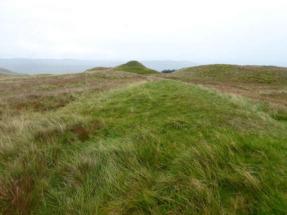 There is a layby on the A592 a bit south of Limefitt Holiday Park. I parked in it and walked south. Left up the track that leads up by the Howe and then swings left to climb the hillside. A stile off to the right from the track indicates the start of the path that leads straightforwardly to the top of Sour Howes. Many things up here might be the top. I visited a few of them. Then easily round to Sallows, back down to Garburn Nook and back down the track. 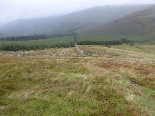 I parked my car off the B5292 at the start of bthe track leading to Darling How. A path leads down from here to the lower track to the north by Scawgill Bridge. I was looking to follow the fence atg the edge of the forest straight up Graystones. THere is a path up here but it starts some way off to the west and skirts the foot of the old quarry before joining the fence and following it up. It is a brutal, steep, unrelenting, but merfcifully short climb. I found many lumps that might have been the summit of Graystones so visited all of them to be oin the safe side. Then a good path leads effortlessly and very pleasantly along the ridge over Broom Fell to Lord's Seat. Here I ballsed things up rather badly. Without taking time to look carefully enough at the map I breezily headed off in the direction of Ullister Hill thking it was Barf. It isn't. By the time I realised waht I had done I had wasted eough tie I decided to leave BArf for another day and so returned to the top of Lord's Seat. The map shows a dotted green line going from here back down to Darling How. On the grond this was pretty faint. It also seemed at first rather closer to the fence than the map suggests. I don't think this way is much used. Descending tghrough the woods was rather rough going in places. But I was soon down and back at my little car. 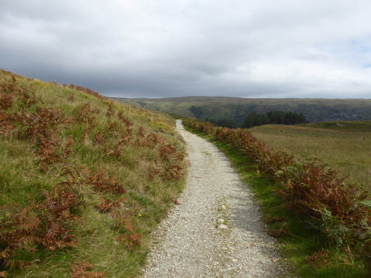 I was staying in Rosthwaite at the Scafell Hotel. This walk starts and ends there so I had the pleasant experience of a driving free day. Right out of the hotel and north up the road a short way then right along the drive of the Hazel Bank Hotel. The path skirts the perimeter of the hotel grounds than heads up the fellside to Watendlath, an utterly delightful and pleasant climb. Reaching Wadentlath brought a measure of heartbreak as I had forgotten about the little teashop there wnd had neglected to carry any money with me. I watched the people happily sipping their tea with envy and longing then picked up the path south towards Stonethwaite. The main path passes the summit of Great Crag some way to the east but there is motre than one minor path on the ground to take you thereand it was easily reached. After that short detourv the maion path carries on past the beautiful, lonely Dock Tarn and then bend southwest to Lingy End where it falls very dramically and steeply through the woods towards Stonethwaite whence a patyh leads easily back to Rosthwaite. THis is a really delightful short walk. |
|
 RSS Feed
