| Jimmy Lenman |
|
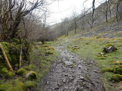
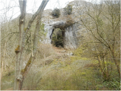
 WIth Carl and Jess. We drove to Tissington and parked in the pay and display. Then north up the Tissington Trail for quite a long time. We had planned to take the turn off towards Greenhead but got distracted by talking too much and before we realised we were at Over Hide Farm by the lane into Biggin. The rain was turning by now from steady but light to steady and pouring so we took refuge by the fire in the Waterloo Arms to dry out and consume hot drinks. From then on down into Biggin Dale and all the way down it in slowly improving weather. Before long it had settled down to be decent, but as we left the dry valley of Biggin Dale for Wolfscote Dale we found the Dove flowing pretty high after the rain.  Down Wolfscote Dale we went, stopping to look at the cave soon after the junction and the old Iron Tors pump house, past Coldeaton Bridge to Shining Tor, where we turned right for the brief stretch of tarmac before Milldale. Dovedale next with its familiar landmarks, Dove Holes, Ilam Rock, Pickering Tor, Reynard’s Cave and finally the stepping stones, where we turned left up Lin Dale and towards Thorpe where we veered left round the back of the Peveril of the Peak Hotel to pick up the well-signposted Limestone Way which we followed easily across pasture land all the way back to Tissington. About a minute after Jess had started to drive us all home, the torrential rain began. Good timing.
0 Comments
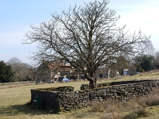 Goathland is full of little signs on the grass verges telling you how much the Duchy of Lancaster wants you not to park on them. There is a bit of space where this is possible at the very west end of the village opposite the Jubilee Tree. But I went in the pay and display car park like most other folk and walked down the road SW through the village to pick up the path onto the moor just by said tree. Which according to the internet was planted in 1935 to mark the Silver Jubilee of George V. According to Paddy Dillon the path branching off left soon after towards Two Howes is signposted. It may have been in 2005. It’s not now. But look out for a seat on a crest aboe the lower path. I walked up onto the moor past The Tarn, over Two Howes and onto Simon’s Howe in beautiful spring sunshine with only a voluble skylark for company. RAf Fylingdales shimmered in the distince. At Simon’s Howe, I turned right and headed west to the escarpment edge at Hunt House Crag where I turned left at another spot where Dillon speaks of a signpost that seems to have disappeared and walked south towards the forest edge. A beaten up old hut up here seems to be named ‘John O’Groats’ on the OS Explorer map – or does the name just attach to this bit of moorland? Into the woods next and about a mile of forest track took me to Wheeldale Bridge. Up a bit from here and over a stile put me on Wheeldale Road. The old road here is now just a line of stoniness along the moor that no one sensible would want to walk along but better paths have been worn into being alongside it. The moors off to my right between road and forest was busy with lapwings swooping and whooping, showing off to the lady lapwings. 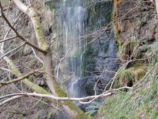 After the old road a modern track drops to Wheeldale Beck then rises to Hazel Head Farm. Before the next farm a right of way branches off over fields to pick up the access road to New Wath Farm. My plan next was to follow the riverside path along West Beck to Mallyan Tarn but I was met by a sign “The adjacent woodland forms part of a site of special scientific interest. It is a sensitive area that is suffering as a result of erosion and needs your help to recover. You can help by using the permissive path outlines on the map below.” So I did, said path taking me not along the river but above the gorge along the top of New Wath Scar and so back to Goathland. But I was disappointed to be deprived of my riverside walk and consoled myself by at least walking down the path from the Mallyan Spout Hotel to visit said spout. It was a long way to go down at the end of the day only to come back up again but it didn’t kill me so I guess it made me stronger. The trudge back up was enlivened by a couple of cock pheasants having a fight. 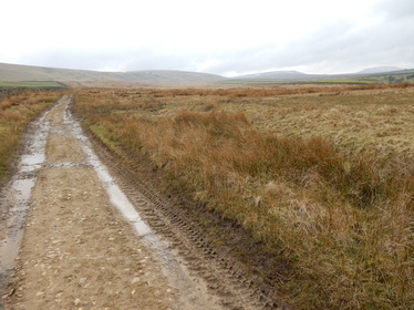 The lady who just crossed the street told me walkers shouldn’t park there but on the grass verge just outside the village (West Scrafton). I obeyed and walked back, taking the track SE opposite the tiny Methodist Chapel. After about a mile I cut off and headed directly uphill on the left to reach Great Roova Crags where a weatherbeaten shooting lodge perches on the hilltop. The 1:25,000 OS map shows a trig point here that is missing on the 1:50.000 map. In fact, there’s no pillar but there is a bolt, a rather smaller type of survey marker these maps don’t usually bother to record. From here my target was the more straightforwardly existing trig point on Colsterdale Moor at SE119815. This was a long walk over pathless ground for about two and a half miles ESE. I took it more or less direct which wasn’t too bad apart from the unpleasantly boggy approach to Barnley Beck. From the trig point I headed SW to pick up a track above High House Farm. A track not shown on the OS 1:50,000 map avoids the dog leg to the farm and goes more directly down to the shooting lodge about a mile upstream. From here the map shows a path going west along the north bank of the River Burn and a land rover track along the south. I failed to locate the path easily and took the track, though it certainly looks from Google Earth as if there is a path all right had I looked a bit harder. 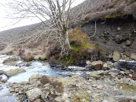 I maybe should have looked harder as taking the track meant I had to ford the river at the foot of Long Gill and it was pretty full and fast. I doubted if I would cross it dry shod but found a way, the key to which was to get myself onto a big square boulder just beyond a tree a few yards upstream. Once on top of the boulder, it’s a doddle, but getting past the tree is a very delicate manoeuvre, traversing unstable mud with bits of grass for handholds. Almost immediately after that there is the Long Gill river to cross which also took a bit of doing. Twenty years ago a bold leap would have done the trick but my bold leaping days are behind me and a gap narrow enough to cross with a pathetic incipiently geriatric leap took a bit of finding. After that it was a mercifully short but quite unpleasant scramble up vertical turf to get back onto the track. 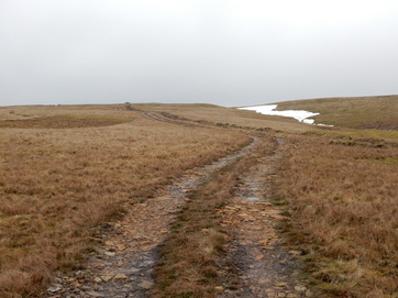 When the track runs out at the top of the gill, which it does very abruptly the map shows a footpath leading back over the ridge to West Scafton. This also took some finding and, even when found, proved a bit ontologically insecure. I followed it, such as it was, as far as a boundary stone inscribed “E.C. Lister. Swinton” after which it seemed to give up completely. Armed with my compass I ploughed on over the pathless ground where it should have been, NW at first, then WNW, quite accurately too as I reached the fence on the ridge just at the point where it was breached by a gate. Beyond the gate a good track leads easily back to the village. These moors are a lovely place, right out on the edge of the Dales, high and lonely and very little frequented. I didn’t meet a soul between leaving West Scrafton and getting back there. I wasn’t carrying a phone and remember thinking, as I headed across the pathless heights of Colsterdale Moor, if I fell and broke my leg and had to lie there awaiting assistance from the next person to chance by, it would likely be a long, long wait. So I walked quite carefully. 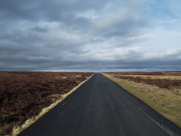 I set out from the village hall in the improbably pretty Hutton-le-Hole and headed north up the main street past St Chad’s church, past the old school house, now a café, then right onto the road towards Lastingham and left onto a path soon after the car park. From here I trudged north to the trig point on Shooting House Hill. The map shows the path ending about 300m short of this and that is exactly what happens on the ground. I don’t know if the ruined structure close to the trig point was once a shooting house. Then I doubled back to where the right of way had branched away NE on another track. I followed this and the road it led to as far as the big layby at the top of Chimney Bank. From here it was a glorious walk south, in what was now unmistakeably spring sunshine, across Spaunton Moor, past Ana Cross and on as far as the point just before Lastingham where there is a meeting of footpaths. The one on my right took me round the back of Camomile Farm and onto the road which I followed about halfway back to Hutton-le-Hole. 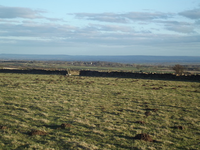 Here I wanted to check out the trig point on Riccal Heads so I ventured up a track running between fields. When it got into the wood this took me on a zigzag left and then right a bit higher but not all the way to the top so I had to scramble rather unpleasantly but happily very briefly up the at first desperately steep wooded hillside. When I dId reach the top I felt rather pleased to be the sort of twit who bothers to collect trig points as Riccal Heads turned out to be a fabulously lovely spot with glorious views especially to the southeast. From here a walk along the edge of an empty field led to the footpath that links Hutton-le-Hole with Spaunton which took me steeply but very easily back to the former. 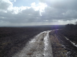 An unenticing weather forecast made me chose a relatively short, straightforward walk today. It was windy and freezing cold and not at all like the first day of spring but, after a flurry of snow as I was leaving the car at the Newgate Bank car park, it stayed dry most of, if not quite all of, the day. It’s a lovely walk rouind the top of Rievaulx Moor and along Cowhouse Bank – where I came across no houses and no cows - with great views up to Bilsdale. After the Cowhouse Bank car park, Paddy Dillon recommends taking a path through the woods to pick up the public right of way on the other side of Carlton Bank Farm. Not a right of way but everyone uses it, he says. But there’s now a sign on the fence encouraging me to take a permissive path through the field, along the edge of the wood as far as the kissing gate in the first fence then right and south along the other side of the same fence all the way to the woods. So I did that. 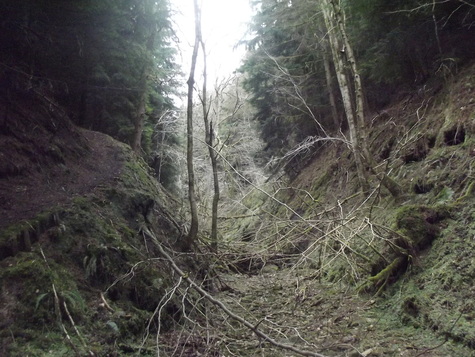 Then it’s a rather fussier return route that starts out through fields and woods, passing Carlton Grange Farm and left on the road at High Baxton’s Farm. Then a couple more fields took me down into the upper reaches of Beck Dale which up here is a lovely murky den with a dry river bed, a place where you would be quite unsurprised to encounter a stegosaurus. I got slightly apprehensive soon after this on finding a notice on a tree, “WARNING MOTOR CYCLE EVENT IN PROGRESS CROSSING POINT AHEAD”, but my apprehension was much reduced a few step further on by another notice, “CAUTION MOTOR CYCLE EVENT 18th 19th OCTOBER.” I guess the motor cycle event people weren’t too fastidious about cleaning up after themselves. Here I was advised by Dillon that navigating the right of way west through these wood is a bit tricky. He’s is right. A little help is to be had from little bits of yellow tape wrapped round bits of tree of tree here and there to mark the way but whoever put them there has spaced them out enough to keep things sporting. Matters weren’t helped by an abundant of bright yellow arrow signs stuck to trees everywhere whose purpose I couldn’t quite guess but were certainly not in the business of marking the right of way. Most likely they’re another left-over from the same motor cycle event. It all got rather confusing and at more than one point I had to consult a compass. Eventually I found the place where the right of way does a sharp left down a track which is helpfully marked by a little yellow picture of a walker. Navigation got much easier hereafter but, just to keep things interesting it now started to snow. It kept snowing quite heavily as I made my way along the track through the rest of the woods and down past Oscar Park Farm to the B1257. The snow was starting to lie now so I made some haste for the last mile up the road slightly fearing the worst for the homeward driving conditions but, once I got back to my car and thawed out a little, all was well as I drove down the hill to Helmsley and back home to Sheffield. I wonder if doing the whole thing anticlockwise wouldn’t make for a more satisfying walk, getting the relatively dull mile of roadwalking over at the start and finishing up over the glorious high moorland. |
|