
| Jimmy Lenman |
|
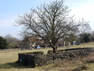
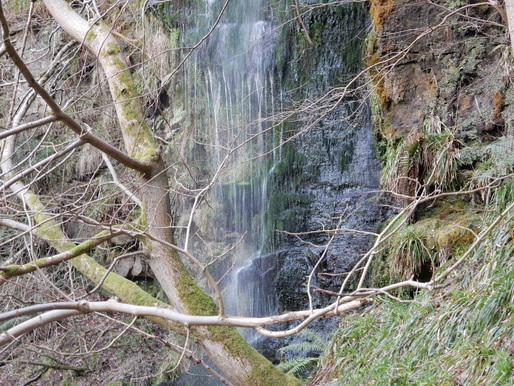
 Goathland is full of little signs on the grass verges telling you how much the Duchy of Lancaster wants you not to park on them. There is a bit of space where this is possible at the very west end of the village opposite the Jubilee Tree. But I went in the pay and display car park like most other folk and walked down the road SW through the village to pick up the path onto the moor just by said tree. Which according to the internet was planted in 1935 to mark the Silver Jubilee of George V. According to Paddy Dillon the path branching off left soon after towards Two Howes is signposted. It may have been in 2005. It’s not now. But look out for a seat on a crest aboe the lower path. I walked up onto the moor past The Tarn, over Two Howes and onto Simon’s Howe in beautiful spring sunshine with only a voluble skylark for company. RAf Fylingdales shimmered in the distince. At Simon’s Howe, I turned right and headed west to the escarpment edge at Hunt House Crag where I turned left at another spot where Dillon speaks of a signpost that seems to have disappeared and walked south towards the forest edge. A beaten up old hut up here seems to be named ‘John O’Groats’ on the OS Explorer map – or does the name just attach to this bit of moorland? Into the woods next and about a mile of forest track took me to Wheeldale Bridge. Up a bit from here and over a stile put me on Wheeldale Road. The old road here is now just a line of stoniness along the moor that no one sensible would want to walk along but better paths have been worn into being alongside it. The moors off to my right between road and forest was busy with lapwings swooping and whooping, showing off to the lady lapwings.  After the old road a modern track drops to Wheeldale Beck then rises to Hazel Head Farm. Before the next farm a right of way branches off over fields to pick up the access road to New Wath Farm. My plan next was to follow the riverside path along West Beck to Mallyan Tarn but I was met by a sign “The adjacent woodland forms part of a site of special scientific interest. It is a sensitive area that is suffering as a result of erosion and needs your help to recover. You can help by using the permissive path outlines on the map below.” So I did, said path taking me not along the river but above the gorge along the top of New Wath Scar and so back to Goathland. But I was disappointed to be deprived of my riverside walk and consoled myself by at least walking down the path from the Mallyan Spout Hotel to visit said spout. It was a long way to go down at the end of the day only to come back up again but it didn’t kill me so I guess it made me stronger. The trudge back up was enlivened by a couple of cock pheasants having a fight.
0 Comments
Leave a Reply. |
|