
| Jimmy Lenman |
|
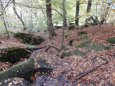
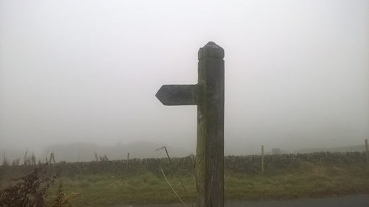
119. Eyam-Stoney Middleton-Froggatt-Grindleford-Upper Padley-Leadmill-Eyam, 30th October, 201611/5/2016  I parked in Eyam in Church Street opposite the school and set off down Lydgate. This leads to a pth that goes very pleasantly over fields, past the old boundary stone where the people of Stoney Middleton once left food and medical supplies for the plague-stricken village in exchange for vinegar-soaked money and on down into Stoney Middleton. Left here and left again up past St Martin’s Church and the old “Roman” baths – they’re not Roman at all of course but early 19th century as a nearby notice explains. After the baths a footpath heads off right across fields. I was heading for Knouchley Farm so looked out for where it branches – this was clear enough on the ground – and went left. After the farm, I crossed the road and headed down to pick up the riverside path along the Derwent north towards Froggatt. I had picked this walk because I thought the autumn colours would be showing themselves off in the woodland down here and I was right about that. I stuck on the Derwent Valley Heritage Way, enjoying them to the full, all the way to the bridge at Grindleford. From here I followed the lane that heads uphill to the right of the churchyard and so on up and into the further autumnal glories of Hay Wood. Eventually you come here to a crossing of paths To keep going would take you to the Grouse Inn. I went left signposted Station and was soon walking past the rather expensive looking homes that line Tedgness Road in Nether Padley. Just before this joins the B6521 there is are a couple of long abandoned rusting old cars, a 2CV and a beetle, sitting by the roadside.  Over the road and over a bridge and there I was at Grindleford Station. It was lunchtime so I went into the busy café for a cup of tea and some sausages and beans. From here I followed the road round to the right of the station then left. Just after the National Park Volunteers’ Centre at Brunt’s Barn, there is a path off left that takes you back over the railway and then gently down over fields to the riverside where a path eventually brings you out on the B6001 south of Hathersage by Leadmill Bridge. At this point, if you still live in the Stone Age and use mays like me, you will find that, rather inconveniently, you have strayed a few millimetres off OS Explorer 24 and onto the very edge of OS Explorer 1. So I’d memorized the direction: left over the bridge and take the second road on the right. Which I did and was soon back on OL24 climbing steeply uphill towards Hazelford Hall. Here the road does a huge hairpin but a right of way leading steeply up a field cut the corner and I gratefully took advantage despite the presence of a small gang of cows who stared unfreindlily as I passed. At Leam I took the long path over Eyam Moor. Up to around here I was walking in rather beautiful weather but here as I gained height it close in and I was surrounded by mist as I crossed the Moor then headed down Edge Road, past Mompesson’s Well and down the muddy path through the woods back to the village. Here all the tea shops seem to close at four which was a little heart-rending as I would have loved a brew and it was just a little too late.
0 Comments
Leave a Reply. |
|