
| Jimmy Lenman |
|
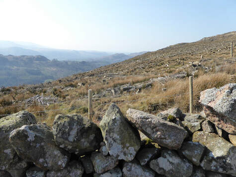
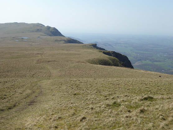
 There is a very narrow little road that climbs out of Eskdale Green past a school to end at a car park in Miterdale. This is where I began. Plan: to cross a bridge and turn left on forestry tracks that would lead me through the Miterdale Forest and onto Irton Fell. But once over the bridge and about to enter the forest I met signs. Forestry workings. No access to affected areas. See area covered red on this map. Bollocks. This was not going to work. The route I planned would quickly take me into the area coloured red on this map. If I went straight up through a field I saw I could pick up a higher track but using this would still take me through the area coloured red on this map. But I saw that if I climbed straight up even further through another field I would access a yet higher track that would open up a possible route that would avoid the area coloured red. So , Plan B, I went for this, eventually reached the higher track in question and turned right to follow it. Almost at once I met a sign. Forestry workings. No entry. Go away. I guess it is a mistake too firmly to believe the forestry people and their maps. So I had a think and I thought, OK, Plan C, if instead of turning right I turn left I will soon come to the edge of the forest and I can climb what looks to be pathless ground alongside it to read the col between Irton Fell and Whin Rigg. So that is what I did. Actually Plan C turned out pretty good. Turned out the way up alongside the forest’s edge to the NE is not pathless, a friendly wee path took me nicely up towards the col. Indeed I would recommend Plan C even for days when there is no tree felling to make problems for plans A and B.  So up I went to the top of Whin Rigg where various little nodules might be the top so I visited the couple most likely seeming to be sure. Then on, on to Illgill Head which looks on the map like it must be a delightful ridge walk and , as it turned out, is a delightful ridge walk, not least in in this glorious April sunshine. From here a path goes steeply but straightforwardly down to the spacious area of ground that is the col between Illgill Head and Scafell. It is Scafell that dominates the scene as I followed a clear path south to pass the beautiful and lovely Burnmoor Tarn on the east. Burnmoor Lodge, I thought as I approached, looked derelict but as I got closer I saw a man at work there. Someone is doing the place up. I lost the path around here and it was a bit of trudge over rough moorland to get myself ensconsed in the upper reached of Miterdale. This is turns out is a place of great solitude and beauty and it was a joy walking down it back to the car.
0 Comments
Leave a Reply. |
|