
| Jimmy Lenman |
|
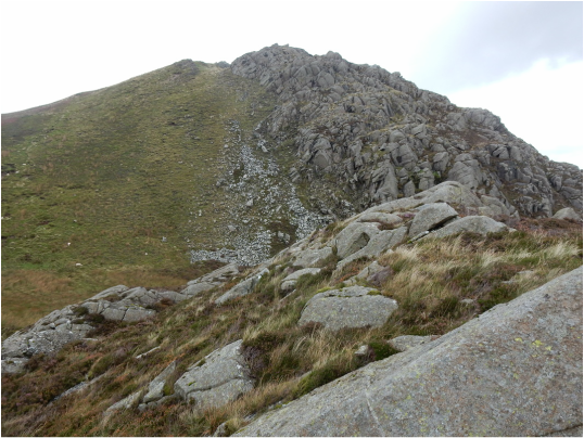
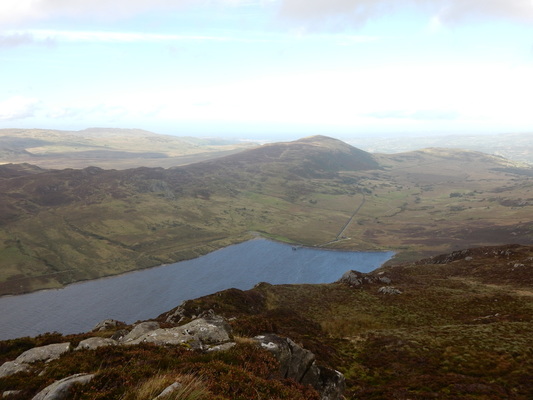
 There’s a little clump of buildings at the Capel Curig where the A4086 meets the A5: Pinnacle Stores facing the road with the Joe Brown gear shop hidden away behind and behind that and some toilets a free car park. From here I crossed the road and climbed a stile by the churchyard to follow a path up a field, round the back of Y Pincin and through woods eventually leading to a bridge where the path leading to Crafnant swings left. I trudged from here to the top of the pass before the reservoir where I turned off towards Crympiau. According to Steve Ashton’s Cicerone guidebook there is no path up here but there is now and I followed it easily enough to the top. From here you have a nice view over the Creigiau Gleision ridge, a little miniature mountain range. I bypassed Craig Wen and then had, as a Nuttall collector, to figure out which lump was Craiglwyn. (In case it helps it's the one pictured on the left.)  That solved I traversed it and on over the rocky upper reaches of Creigiau Gleision and on again to its north top. From here you need to head for the fence which the 1:25,000 map shows a path following west to where another fence branches right and another path follows that into the woods. The right branching fence now barely exists except as occasional rusty posts but the path if clear enough and leads into the always challenging confusing tangle of a forestry plantation. The way through this to Hendre is occasionally waymarked and I managed to stick to it without much difficulty then followed the road round to a corner where track is signposted Blaen-y-Nant another on its left not signposted at all. I took the one on the left which avoids the farmhouse and heads up the hill to rejoin my outward route.
0 Comments
Leave a Reply. |
|