
t.
| Jimmy Lenman |
|
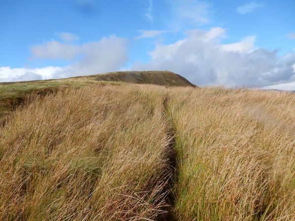
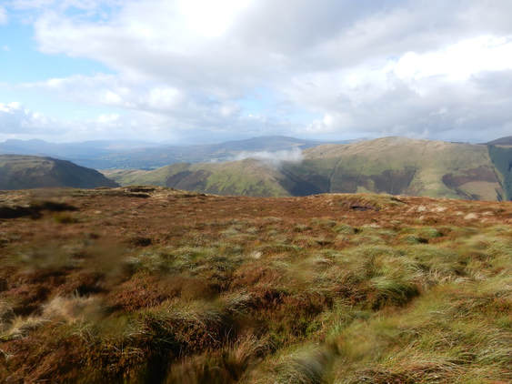
 I climbed this hill from Dinas Mawddwy on not very nice showery September day. If you drive, as I did, east from the direction of Dolgellau towards Dinas Mawddwy, you come in due course, as you might expect, to a sign announcing that you are arriving in Dinas Mawddwy. Almost immediately after this is a lay-by on the right with a footpath sign. This is the path up Maesglase. Of course if you are like me you will only cop on to this after you pass it and end up having to drive into the village and turn round. The path begins with a long stiff climb steeply up through woods. Towards the bottom it is muddy and slippery but later it becomes more intensively engineered and some kind person has constructed a lengthy flight of stairs up it. When you leave the woods it turns right and describes a long contour round Foel Dinas to Bwlch Siglen. This is muddy and slippery and not terribly pleasant and I found myself thinking be better just to climb up and over Foel Dinas but the pathless slopes in that direction are offputtingly steep. After the bwlch the path soon disappears from the map but there is one on the ground all the way to the top, steeply at first alongside the woods then more gently alongside Craig Maesglase. In the wet, slippery conditions I did sometimes find myself wondering if it was really necessary to make the path quite so close to the edge of the cliff in places.  There are two tops of which the Nuttalls say the westernmost is the summit. I visited both just in case they change their mind. To get to the west top - Crag Rhiw-Erch on the Explorer map - you have to climb the fence but it's not barbed wire and easily enough stepped over for a tall chap like me. A tiny cairn, only visible from a few feet away, marks the spot. Returning I tried a bit of a short cut to cut out the east top - a dumb idea as the pathless ground was horrendous deep heather but once back on the path I was soon back at the bwlch. The path from here to the lay-by did not hold pleasant memories so I decided to return by the valley of the Nant Maesglase. A steep path leads down this way from the belch but it soon levels out just when it passes a ruined sheepfold just before some woods on the right. It improves to become a track leading to a tarred road that leads easily and quickly back to the A470. Mercifully this has a grass verge on which to avoid immolation by the high speed traffic and it didn't take long to be back at the car. A shortish day but with some rough ground that made it take longer than expected. Some tasty fish and chips at the Cross Foxes rounded things off nicely. t.
0 Comments
Leave a Reply. |
|