
| Jimmy Lenman |
|
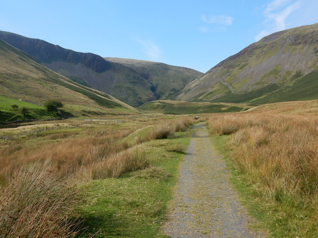
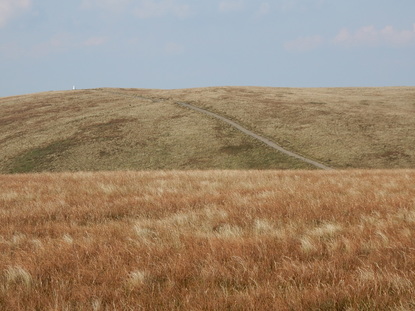
 “Earlier civilisations seem to have shunned this area,” write the Nuttalls in their Mountains of England and Wales (Vol 2, p. 232), “and there are no ancient settlements or roads…” So it comes as a surprise, a few minutes after crossing the bridge by the Cross Keys layby on the way to Cautley Spout, to find a sign from the National Park Authority informing us that: “Archaeologists have discovered the houses and fields of an iron age farming community in the valley below. These people probably lived by grazing sheep and cattle and growing a few crops in the tiny enclosures close to their simple stone and timber round houses.” The Nuttalls also offer some words of reassurance for the cow-timorous here: “Cattle, including often a docile bull, graze by the footpath beside Cautley Holme Beck…” But of cattle, or indeed evidence of cattle, docile or otherwise, there was today no sign.  When the path reaches the fellside it divides. The right branch goes off towards the pass between the Calf and Yarlside, the left goes up the side of Cautley Spout. The latter path as one approaches it looks alarmingly vertiginous. At close quarters it turns out to be rather highly engineered and quite literally a walk up a staircase which leads easily and occasionally spectacularly to the grassy Howgill uplands. Here I followed the valley of Red Gill Beck to the top of Calders. From here it is a romp on a good path to the top of the Calf with a short detour to take in Bram Rigg Top. And from here a straightforward descent to Bowderdale Head and thence down on the right branch of the fork in the path where I’d gone left on the way up. A nice short afternoon walk in lovely late summer sunshine.
0 Comments
Leave a Reply. |
|