
| Jimmy Lenman |
|
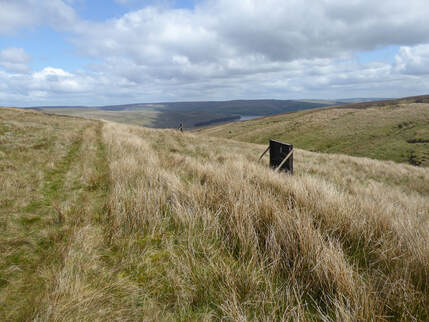
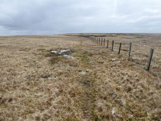
 The Nuttalls suggest collecting Three Pikes, Great Stony Hill, Harwood Common, Burnhope Seat and Dead Stones in one big circuit. But I am a less efficient hill-bagger than John and Anne N. are. I was here last year in very wintery conditions and was happy then just to collect Three Pikes and Great Stony. So back again today for the other three. No snow today but very cold and towards the end of the walk a little hail. I was wearing gloves at one point, not a common occurence in May. The car park I used before at the north end of the Burnhope Reservoir Dam seems no longer to be working as a car park with a sign forbidding entry to vehicles but there was space enough by the roadside close at hand. There is a good path, not shown on the OS map, going along the north side of the reservoir and a bridge – two in fact – going across the river at the other end. From here looking at the map there seems to be a way to follow tracks up to just east of the top of Scauld Hill. On the ground it didn’t quite seem to work. Good tracks did take me up to where the map shows a track following a stream called Crooked Sike but this more or less petered out on me. From here I could make out the grouse butts marked on the map a little to the west so I headed up that way. It was rough going, mostly pathless, occasionally something vestigial . Approaching the top I did find the track again as it crossed the fence that follows the broad ridge between Great Stony Hill and its western neighbours.  From this point on the game was one of following a fence along more or less pathless - again occasionally something vestigial- boggy ground. But not too boggy, nowhere near as horrific as I recall Three Pikes to have been. The top of Scauld Hill is bang on the line of the fence. The top of Harwood Common is a short walk to the south of it. The trig point of Burnhope Seat is slightly to the right of it. The Nuttalls are happy enough that this is the top but – oh no! – I discovered only afterwards that the hillbagging website disagrees and claims there is a higher spot a bit over to the west. Now my conscience must struggle. Can I claim the bag or must I visit it again? Ayway on I went, following the fence north to Dead Stones whose name could be a Joy Division track. Is quite a bleak spot maybe but not that bleak, decorated with a massive cairn on its summit. I was now following the Nuttall route so my next destination was the trig point on Highwatch Currick, another long bogtrot along a pathless fenceline. From the trig point the Nuttalls direct us to pick up a track (not on map) and follow it to where it turns left through a fence, at which point leave it and head downhill towards a corrugated iron building where another track leads quickly to the road near the dam. Slightly confusingly there are to such buildings in view. You want the one on the right. These are little visited hills. I met just two people the whole way on a May Bank Holiday weekend. But once a busy working landscape and still peppered with a few open, sometimes unfenced, mineshafts, something to be careful of, especially if walking alone.
0 Comments
Leave a Reply. |
|