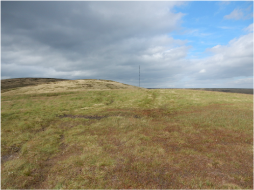
 With Jess and Mark. We drove to Crowden where there is nice free parking. A sign here tells us about the estimable Moorlife 2020 conservation project hereabout generously funded by, sigh, the European Union, I guess not for much longer. To get to the Pennine Way one heads left in front of the farm buildings past the campsite and one soon meets it coming in from the west and signposted north. Directions from here: follow it to top of Black Hill. Straightforward. Impossible to miss. There is a bit of a climb up by Oakenclough Brook to reach the plateau edge above Laddow Rocks. From there it’s a long trudge over the plateau pleasant enough on a nice day like this but probably a but horrible in thick weather. A man on the top was looking out for a party of Duke of Edinburgh expeditioners he was meant to be assessing of whom there was no sign. They finally asppeared just as we were setting off again and more or less followed us down. Our path down, southeast then south over Tooleyshaw Moss was not easy to spot by findable sooner or later by following the lines of cairns marking it. On it goes over White Low and Westend Moss. About here it branches, the right branch heading more or less directly down, the left heading to the trig point on Hey Moss. (This is not marked on the Landranger map and on the 1.25,000 map is oddly marked by the word “pillar” and not the usual symbol.) When we got to the pillar the path had more or less vanished so we decided to head left across country and pick up the right branch we had originally eschewed. This proved hard work, only about 300m but across some really filthy terrain. Finally we were on our path which we followed easily enough down to the road at the little church east of Crowden and back up the busy A628 (there is a pavement, mercifully) to the village.
0 Comments
Leave a Reply. |
|
 RSS Feed
