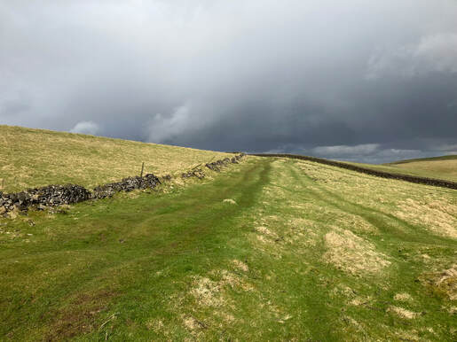
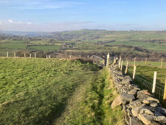
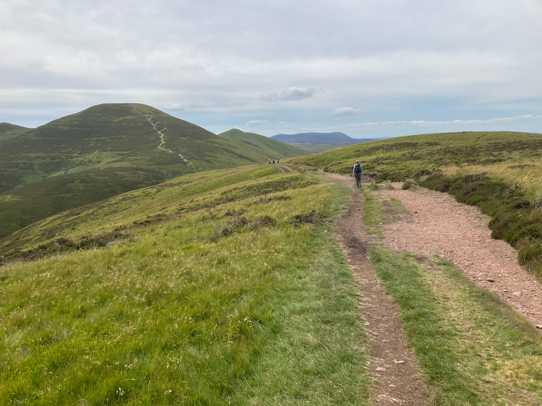
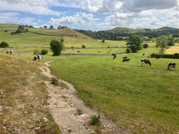
| Jimmy Lenman |
|
|
0 Comments
A short walk in glorious weather. From Sheldon up past the mine and down into Kirlkdale across fields and down an overground path past an old barn. Then over the road and up onto Bole Hill. The summit is somewhere hard to say where- in a big rectangular field by some woods. When I was here before in April 2011 the trig point was looking healthy and upright. Now it is toppled, a fallen soldier. There are a lot of Bole Hills. One on Wormhill Moor east of Buxton also has a trig point, one to the east of Spitewinter in East Derbyshire, two in Sheffield, one by Graves Park and one in Walkley/Crooks on whose slopes I live. There is a Bole Hill Plantation near Whirlow and a Bole Hill Quarry on the Longshaw Estate. If you are after exclusivity call your hill some other name. It means a place where lead is smelted apparently. I retraced my steps to past the mine but made a little detour towards the village to bypass some rather frisky bullocks. There are some pleasant walks in Derbyshire that aren't the Peak District. I parked in Grassmoor Country Park and walked south on the Five Pits Trail. This branches at Wolfie Pond and I went left towards Holmewood. Round Wlliamthrope Ponds and back west to where the OS map showed a path going west across fields to join the Trail again. This was a t confusing as since the mp was made someone had built a whole estate of new houses on what were once field. But there was still a way through and I followed it and so back onto the trail and back to Grassmoor.
I parked in Pennine Road by the surgery. I could have parked closer to the start of my footpath but this was close enough and easy. Up Werneth Road then there is a pedestrian shortcut through to The Green. The path I wanted starts where the road named on the map as Simondley curves near the Hare and Hounds. The public footpath sign here seems to point up what looks like a very private residential driveway which looked a bit wrong and made me hesitate a bit. But no, is not wrong. Up the driveway, veer right and a path leads up by some more residences before turning into a steep muddy path up the hill through the woods. After a bit of a climb the OS nap shows a crossroads of paths,. Not a lot of signposting here. If you want the path up by Herod’s Edge Farm look for a run down stile over the wall on the right and cross it. Then up and past the farm to the main road. Easy and most of the climbing done. Not all. You cross the road, go right and soon left up a path up a bit more to gain the flat ground where is the top of Cown Edge, your local Glossop Ethel. There are wonderful views from here over Kinder. A path skirts left of an old quarry and then I veered right onto the top of the ridge before talking a left down past Far Slack Farm and on to Robin Hood’s Picking Rods, believed to be some early Medieval boundary marker. Then I turned round and retraced my steps to the top of the ridge and back down the other side. When I reached the road junction I turned left and then after crossing the road up on a path marked on the map passing a place called Sitch to the east. Here signs informed me of problems completing the National Trail around Glossop and advising horse rider and cyclists they had no right of access here. Being neither of those things I carried manfully on what proved a highly vestigial path. But the going was easy enough. Skirting the wood of Whiteley Nab I rejoined my outward route and so home. A walk of six miles where I met three people, two on foot and one on a bike. The Peak District is so very crowded but everyone goes to the same places and if you go anywhere else you have the moors to yourself. With Helen and Anstasia. We parked by a gift shop south of the river near the Falls. Had a browse the walked down and over the river to visit in turn the Upper, Lower and Middle Falls. The a path over fields past Hollins House to High Thoresby. A lot of dogs seem to love here from the noise as we passed. We met one running about loose but it didn't trouble itself with us. The next field was awkward to get into. I had to climb the gate to open it to let Helen and Anastasia through. We stopped here about to laze in the sun then walked up the hill to the fourteenth century castle, ancestral home of the Scrope Family and for a while, prison to Mary, Queen of Scots. From here we followed a track that runs almost due west across high pasture. There were a few cattle around but they did not trouble themselves with us. This was the most beautiful part of a very beautiful walk. After a nie and a bit the path turns left and descended into Carperby. Here it is right then left and back to the Falls very pleasantly across green fields. There is a car parking area at the top of Eccles Road from where a very short walk goes to the top of Eccles Pike. After that I drive to Whaley Lane. There is a path starts at the spot height marked 308 on the OS map. A bit south of it there is a car park. I followed this to directly south of the summit after which I followed the left side of a wall to. It is pathless but easy going as far as the top of the steep bit then not so easy going, I made a little detour on the way down to check out a thing called the Dipping Stone which was once the base of a pair of stone crosses put up in the early Middle Ages to mark a boundary.
From the car park below Errwood Hall up to the hall then on up to Foxlow Edge. I recently wondered if Grin Low might be the easiest Ethel. It is not I realised as I descended to the parking place on the Street about two minutes walk from the top of Foxlow Edge. Then the delightful and familiar circuit: Cat's Tor, Shining Tor and home. Another day collecting obscure North Pennine hills. There is a car park in Murton and a track leading up round to the east of Murton Fell. About a kilometre after passing Murton Fell I left the track for the pathless boggy plateau to find the top of Murton Pike. The well signposted edge of MoD land and a ltiny lake just by this are useful landmarks to find the top of this if, as today it was misty up here. The summit is an unprepossessing spot in this weather so I didn't linger but headed on down and up Murton Fell, a far shapelier hill. From a bit to the west of the summit I found a path leading fairly directly down, sometimes over very steep ground. |
|