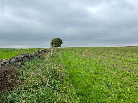
- A classic easy Peak District walk. From Elton over the fields to Dale End Farm with kits Shintos red telephone box, Then up Grafton Dale and back over Elton Common. Easy and delightful.
| Jimmy Lenman |
|
0 Comments
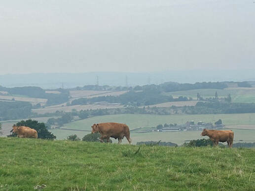 A Deryshire, not the Peak District, walk for a change. Parked up in Bolsover then headed down Castle Street to the Castle gates. Left down Castle Lane then into some parkland past the ruined Conduit Houses. Then downhill and south then west to Carr Vale where I turned let at a little fishing lake and down the Stockley Trial. I left this after about a kilometre and followed a path across fields to Palterton, Up past the Elms farm then over another field - populated by docile cows - to Hillstow and back into Bolsover. Not very strenuous but the surgeon said anew it easy.
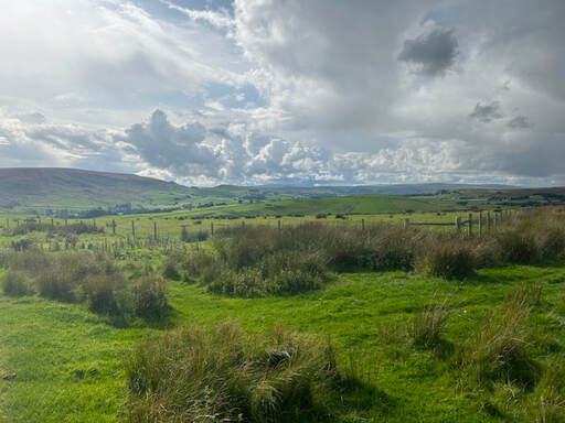
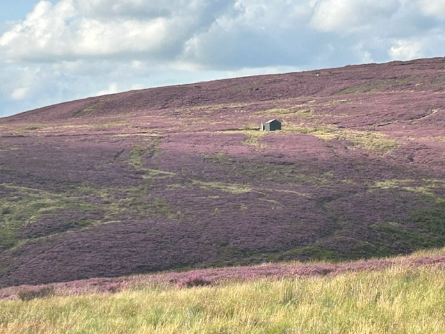
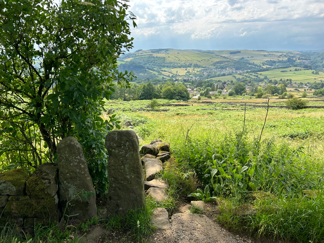
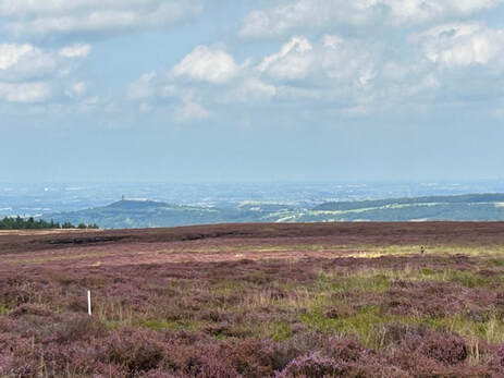 60th birthday. What a dismal thing. To console myself I drove to Holmfirth and parked in the carpark by Brownhill Reservoir. I went for a reccey to see was the track on the map alongside Ridge Wood Reservoir open to the public. It was covered with sigs making it abundantly clear it was not. So I took the high path that follows the top of the woods above Ramsden Clough. I followed this as far as Ruddle Clough where I turned left and headed up onto the plateau and the top of Elbow End. A long windy path leads from here to the trig point on Snailsden End. 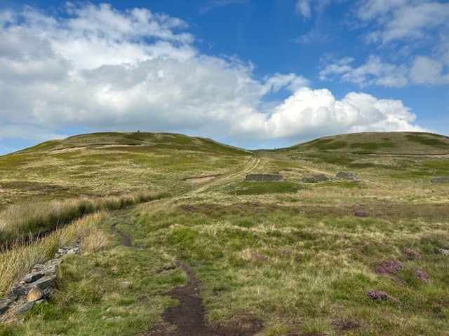 My next target was Cook's Study Hill. The sensible thing here would have been to retrace my steps along the south edge of Snailsden Pike End and then go north. But I was tempted by what looked like a vestigial path to head directly for the reservoir. This didn't go that well and my feet got very wet. After climbing Cook's Study Hill I followed the road north as far as White Gate where a path leads easily back to where I started. It is lovely up here o n the northern edge of the Peak District with views across to Castle Hill.
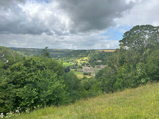
 With Martin, Tommy and Joe. Parking in Appletreewick is not abundant. But we found some and followed the path by the caravan site down to the river where lots of people were splashing about happily. We followed the river and then field paths up through Skyreholme to Parceval Hall where we stopped for a break at the tea room. Wea then headed up to and up Troller's Gill. This was less fun than it might have been as the place was infested with the worst plague of midges I ever experienced outside Scotland. But we made it to the top and back over the beautiful upland that is Appletreewick Pasture.
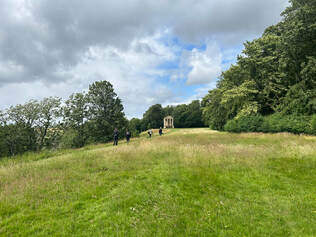
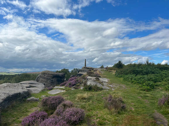 Nelson's Monument on Birchen Edge was constructed in 1810 by some residents of Baslow. Wellington's Monument across the valley on Baslow Edge was erected by local doctor Edward Wrench in 1866. A lovely walk from Baslow strings them together. I parked at the Nether End pay and display and walked along the lane to the kisssing gate that leads into the estate. Walked east through estate passing not far from Jubilee Rock whose inscription marking Victoria's 1897 Diamond Jubilee was also instigated by the patriotic Dr Wrench. Getting out if the estate at the NE end entails negotiating two imposing step stiles after which a lovely woodland path leads to a bridge over the river near the Robin Hood pub. A bit beyon this a path leads up onto Birchen Edge past Nelson's Monument to a trig point on the top. Here I went steeply down to join a path going north to the road junction, then west to Wellington's monument and back down the hill into Ba
slow. 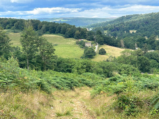 I parked at Calton Lees car park by the garden centre and made my way up through the woods to the top of Lees Moor Wood. Thus is a bit confusing as some of the network of tracks on the ground shown on some maps are very overgrown sometimes to the point of not being there. But if you can get to 254674 you can follow a break in the woods WNW then a path along a wall SSW then an overgrown track and you are there. Keep going the same way and soon the track quality improves and there is a good back to where you started following close to the edge of the woods.
 |
|
 RSS Feed
